All Activity
- Past hour
-

2026-2027 Record-breaking El Nino
mitchnick replied to Stormchaserchuck1's topic in Weather Forecasting and Discussion
I was surprised to see as well how much the Conus, especially east of the Rockies, stays at or BN for weeks after that week. And the AN is not excessive. https://charts.ecmwf.int/products/extended-anomaly-2t?base_time=202609260000&projection=opencharts_north_america&valid_time=202610050000 -

October Comes Early: Late September Multi-Hazard Hybrid Storm
WxWatcher007 replied to WxWatcher007's topic in New England
With a STJ on steroids this winter, there’s going to be an absolute nuke of a storm at some point. -
 7.21 Just keeps coming
 -

Strong Nor'Easter/Hybrid Storm Late September 2026
SI Mailman replied to Rjay's topic in New York City Metro
2.43 inch storm total so far. -

Strong Nor'Easter/Hybrid Storm Late September 2026
FPizz replied to Rjay's topic in New York City Metro
Similar here, 1.35" -
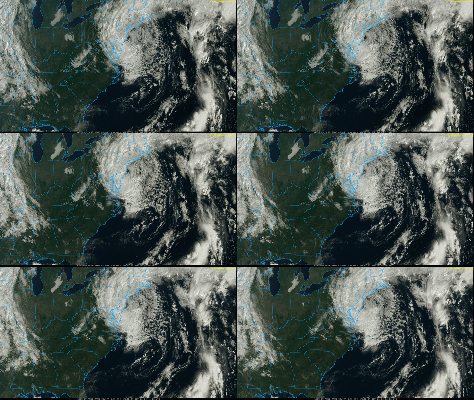
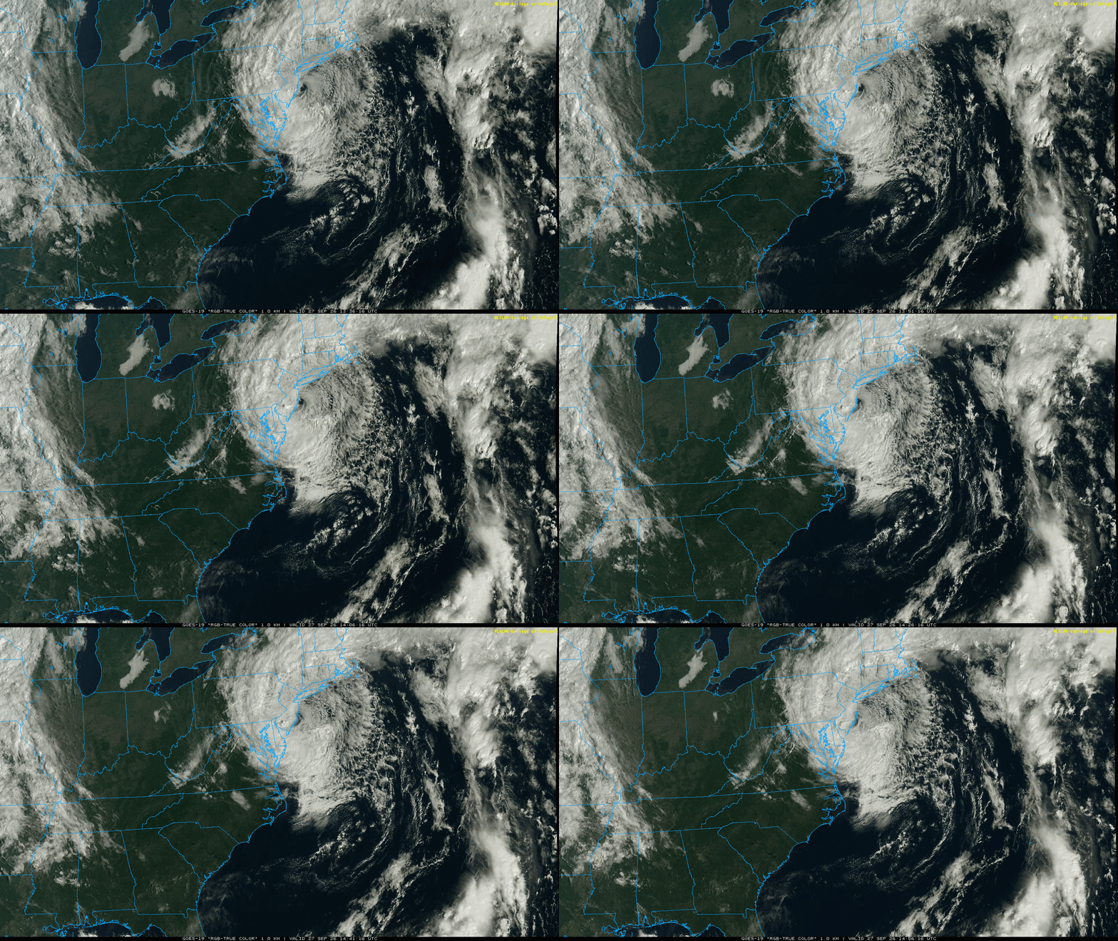
Really unusual track for September. Most early season coastal storms or tropical systems track N to NE up or just off the coast. Can’t remember a September system coming in from the east into NJ before. Goes to show how strong the 500 mb ridging pattern has been associated with the record 600dm ridge a few weeks back and strong ridging since March.
-
Supposed to go to an open house today....sort of meh on it with the weather....
-
I'm all geared up and headed out for a rain hike. I want to catch a few miles in this next batch coming through.
-

October Comes Early: Late September Multi-Hazard Hybrid Storm
HoarfrostHubb replied to WxWatcher007's topic in New England
Blue Hill set a daily record for top wind yesterday. 58mph. No biggie but it is what it is -
October Comes Early: Late September Multi-Hazard Hybrid Storm
HoarfrostHubb replied to WxWatcher007's topic in New England
This is pretty unusual for September. Most of the big fall nor’easters are October or November. -
I’ve been out of town (enjoying the absolutely beautiful weather in Banner Elk) this weekend but saw we dipped to 49.0 yesterday morning back home, our first 40’s of the season. RDU was even cooler, 48. What an incredible stretch after one of the most miserable summers in history
-

Strong Nor'Easter/Hybrid Storm Late September 2026
Big Jims Videos replied to Rjay's topic in New York City Metro
Posted a clip on my Facebook page. Sunshine was visible. Trees are down all over though from this mornings burst of wind. https://www.facebook.com/share/r/1EMczqQcta/ -
Looks like you are getting some heavier stuff now.
-

E PA/NJ/DE Autumn 2026 Obs/Discussion
BBasile replied to PhiEaglesfan712's topic in Philadelphia Region
Up to 2.29" on the storm. This makes September the third straight month with 6"+ of rainfall. Sitting at 6.6" currently. Pressure is at 997.9 MB and falling slowly. Winds still gusting over 20 mph. -

October Comes Early: Late September Multi-Hazard Hybrid Storm
WinterWolf replied to WxWatcher007's topic in New England
Absolutely! That’s the take away. She’s a looker though…. -
-
I am hoping that intensity stays together as it pushes towards Easton. Pretty consistently the energy slowly falls apart as it pushes southwest
-
October Comes Early: Late September Multi-Hazard Hybrid Storm
WxWatcher007 replied to WxWatcher007's topic in New England
Did they? Damn Nobody is saying this is historic, btw. It's not even top 25 for fall nor'easters probably. It's just a solid storm breaking the monotony. -
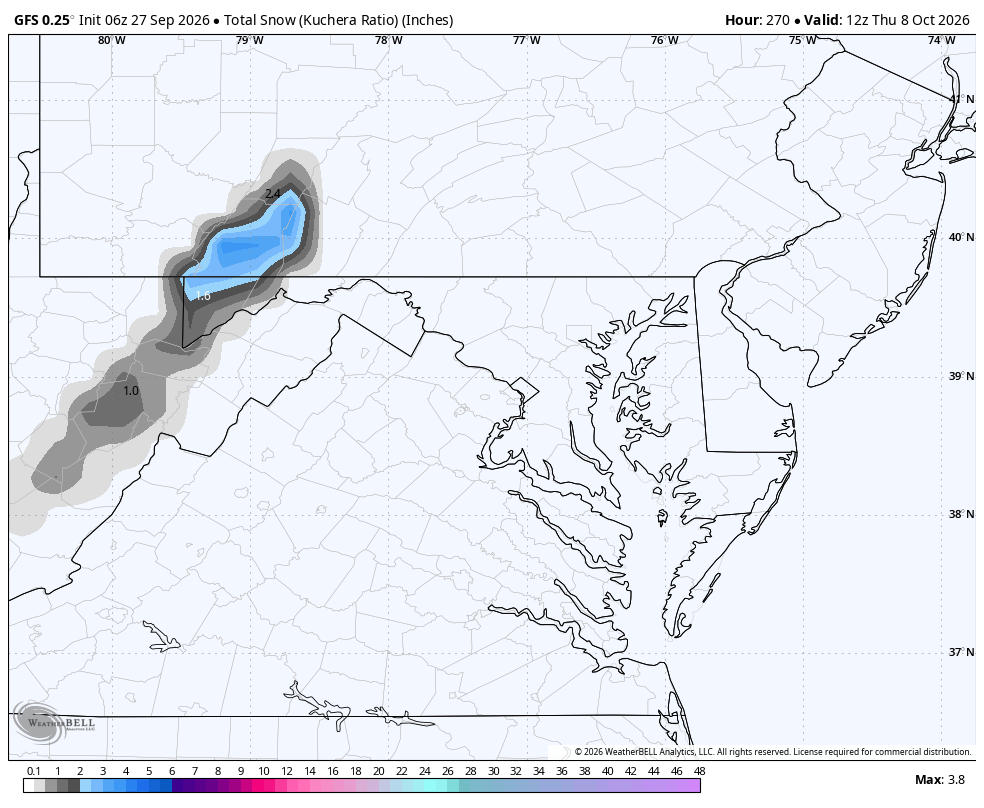
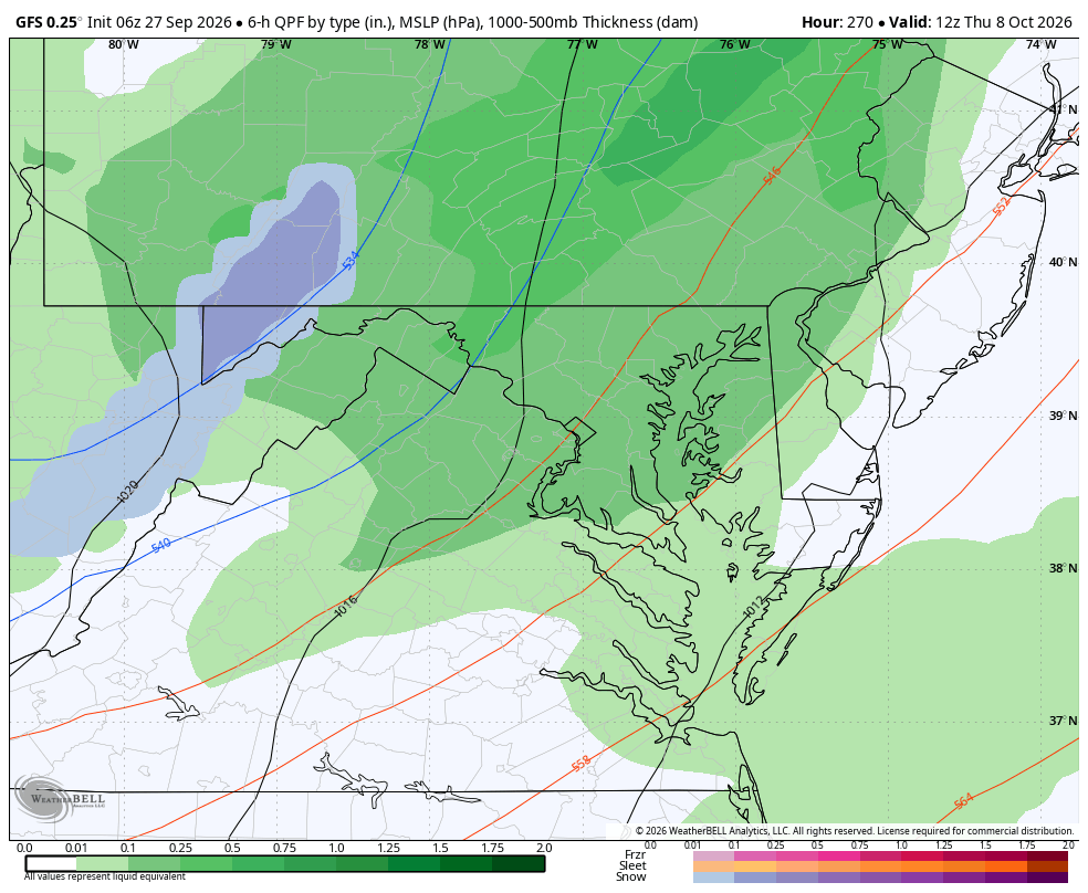
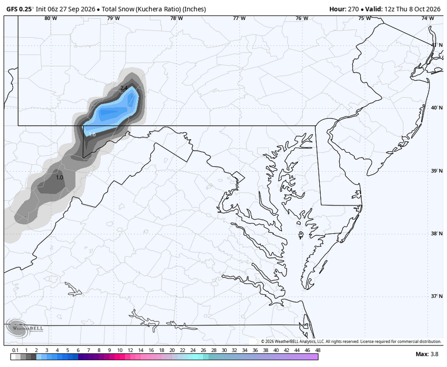
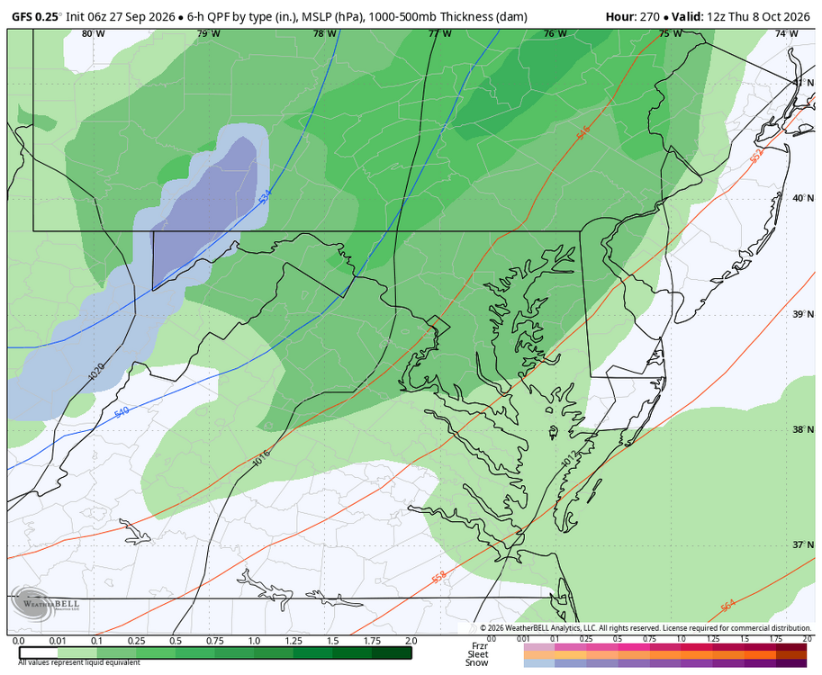
First digital snow in MD! WB 6Z GFS
-
October Comes Early: Late September Multi-Hazard Hybrid Storm
WinterWolf replied to WxWatcher007's topic in New England
Yes sir…if I double the total so far we will be between 3.5-4.0 inches…which is about where the Euro had my area pegged for. -

E PA/NJ/DE Autumn 2026 Obs/Discussion
Hurricane Agnes replied to PhiEaglesfan712's topic in Philadelphia Region
-
Hoping it reaches MBY. Just drove through it and it’s pouring.
-

October Comes Early: Late September Multi-Hazard Hybrid Storm
jbenedet replied to WxWatcher007's topic in New England
-NAO developing… I’d take the over on slower ejection northeast and more blocking from the NB high. Therefore take the over on rainfall totals, where the training has already set up along the coast. -
October Comes Early: Late September Multi-Hazard Hybrid Storm
WinterWolf replied to WxWatcher007's topic in New England
It’s a good sized area…just say tot we’re completely out to lunch on your take Friday and early yesterday. -
October Comes Early: Late September Multi-Hazard Hybrid Storm
WinterWolf replied to WxWatcher007's topic in New England
Yup…about 1.75” here so far. We’ll see how later today through tomorrow goes.