All Activity
- Past hour
-
Cue Richard Marx right here waiting. he always is
-
When I posted, I thought of it this way, in a overall synoptic sense, you don't track a 990 mb or deeper sfc low across southern Ontario/Quebec this time of year, and *not* have something big happen convectively! What that is exactly is and where? Way too early, but all the main pieces are there, so that's the first step. Work from there. What is really cool now is that modelling and knowledge have come to the point we now can reasonably see high-end/record-setting events potential well in advance. The first time I really took l note of this was a couple days before the Oct 29-30, 2011 snowstorm. I noticed how cold the short-range ensembles were showing the 850 mb temps, and I said, "this is going to be epic/really bad," and look what happened. Then a year later, we saw what the ECMWF was doing w/ Sandy (even before the system was named Sandy!) 9 days out, and again, look what happened! Now we had advanced enough to see high-end svr convective potential days 4-8. From a wx passion standpoint, it's really cool to know such things in advance now. Growing up, I recall the uncertainty factor seemed always so high, and so many surprises (snowstorms over-performing was a biggie). And from a societal POV, us knowing ahead of time is a tremendous benefit so we can prepare for them and mitigate impacts.
-
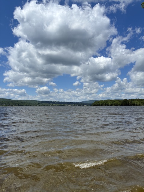
The lake was a little rough this morning.
-
Topped out @ 88F here today.
-
Those Scottish dudes just make me want to hang out and party with them lol.
-
-
What a night for a soccer match. Absolutely perfect. I'm sure they'll return home and tell friends they must visit Boston. The weather's great! The friends will come on memorial Day...
- Today
-
Nice cell popping up in SE Wake now!
-

Junorch obs and discussion 2026
Damage In Tolland replied to Damage In Tolland's topic in New England
He’s here and crushing those of us SOP and EOR -
Friday the whole thing got undercut by outflow. Then it regenerated east of the Apps. Speaking of the Mountains, got a Slight on Sunday. The mountains are always calling, but I'm not sure if that's for chasing, lol! I'm really interested in midweek. Verbatim it's a Midwest issue. We'll just see where outflow boundaries may lie. Winds aloft are forecast to be pretty strong for mid-June by mid-week, stronger than this current weekend.
-
Today's highs EWR: 91 BLM: 90 New Brnswck: 90 ACY: 90 TEB: 90 PHL: 90 LGA: 88 TTN: 86 ISP: 86 JFK: 85 NYC: 85
-
More of a march/april look here than anything else, but loving the shear profile
.thumb.jpg.db1464281a4b062a76df3b0f81742c74.jpg)
-
Today's highs EWR: 91 BLM: 90 New Brnswck: 90 ACY: 90 TEB: 90 PHL: 90 LGA: 88 TTN: 86 ISP: 86 JFK: 85 NYC: 85
-
Yeah, next. Sucks
-
Looky at the radar...so happy for SE NC...my area...screwed again...and again...sigh
-
So much for rain today too...rain will stay south...screwed again
-
hoping we get some more of an east trend, am pretty tired of getting 2am weakening MCSs, would at least like to see some lightning in the daytime
-
Junorch obs and discussion 2026
Damage In Tolland replied to Damage In Tolland's topic in New England
https://x.com/bostonwxconsult/status/2065921759753253041?s=46&t=dhcbvkjmRcyBVQtDxJ3lRg -
Was talking to a few of the neighbors today, we are all over the severe thunderstorms in these parts.
-
There was significant tree damage at stony ford, it was very noticeable.
- Yesterday
-
Junorch obs and discussion 2026
Damage In Tolland replied to Damage In Tolland's topic in New England
-
Yeah this was perfect today. Low dews and warm. Felt like summer without being over-bearing. Finally a Grade-A Saturday outside. 80/50 at 6pm is a perfect evening.
-
High of 96 before the rains came. Hit the jackpot. Picked up 1.08". Our first rain since June 1st.
-
Miss south for mby, glad to see IL staying hot tho
-
I was really dreading our AirBnB with no ac in Newport. The front came through and we had some nice breeze Off Memphramagog that made for decent sleeping temps.
.thumb.gif.f92b16c631a1d15d405ed77b33f0710d.gif)


.thumb.jpg.ad3a2e31d30aff035044689b311a0540.jpg)
.jpg.90743983ceb8a1b0c399121819faecd5.jpg)


