All Activity
- Past hour
-
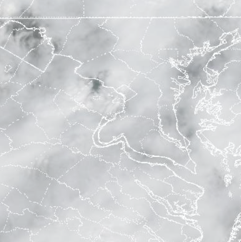
.thumb.jpg.6a4895b2a43f87359e4e7d04a6fa0d14.jpg)
Central PA Spring 2026 Discussion/Obs Thread
Yardstickgozinya replied to Voyager's topic in Upstate New York/Pennsylvania
I got it pretty good as far as garden variety thunderstorm. Heavy rain for about 20 minutes ,six or seven strokes of lightning, and maybe 20 mile per hour gust. -
 It is snowing in Birmingham, AL. This is quite the system.
 -
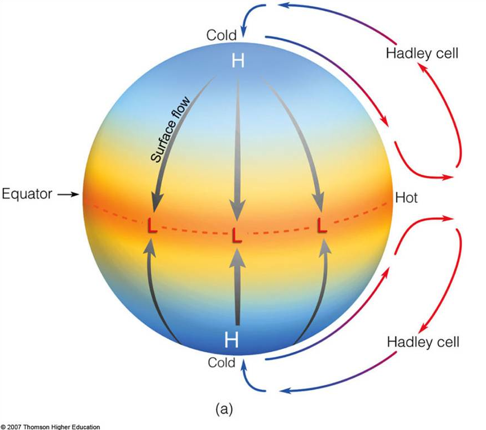
Tips latest Hadley Cell model ..
-
 Still haven’t gotten touched here in Burke. The line is moving NNE and not quite glancing us, though that little “bow” to the south should do the trick.
 -

Central PA Spring 2026 Discussion/Obs Thread
canderson replied to Voyager's topic in Upstate New York/Pennsylvania
.35” rain, sun is back out. We’ll see later how the actual front comes though. -
 Just got a nice heavy shower from the 1pm threat. I think southern MoCo and DC jack here
 -
Sitting in West Kingston/Exeter RI area for work and pretty breezy here
-
 Wow just sent code red for OPM and all DC area federal offices
- 586 replies
-
- 1
-

-
- severe
- thunderstorms
- (and 1 more)
-
 Good bit of it cut back from the nw. Don’t worry the moderate is just left to save face but literally there should be no moderate today. Yesterday was a bigger day and was only enhanced.
- 586 replies
-
- 1
-

-
- severe
- thunderstorms
- (and 1 more)
-

E PA/NJ/DE Spring 2026 Obs/Discussion
Lady Di replied to PhiEaglesfan712's topic in Philadelphia Region
Lost a shed a couple years ago. Last year during a severe T-storm w/crazy winds, I had a window break. It's 68F. I should have taken down my Erin Go Braugh flag this morning. -
I was gonna say...I thought I just saw him post recently! But like you said, we don't know could've been sudden. So, so sorry to hear this--seemed like a genuinely nice person who you could always have discussions with. He even humored me when I started a thread about following the Farmer's Almanac back when I kinda believed it, lol Praying for his family.
-
 Just a brief heavy downpour in that line (at least here). No wind or anything else besides rain.
 -
Central PA Spring 2026 Discussion/Obs Thread
Yardstickgozinya replied to Voyager's topic in Upstate New York/Pennsylvania
For anybody who's interested ,If you go back at the last graphic, I posted, and you look down at the Florida panhandle, you'll notice that vorticity, bullseye, of what appears to be 6 and 3 cape bullseye of 175kjg. If those two were to lineup over top of each other that's what you don't want to see . I'm not saying that that's what's going to happen down there.It's just close enough to overlapping to uses as an example. I realized that there's more than surface cape to be looking over but when you already know, you have everything else including the storm's that's where your eyes should be. -
 No changes in a lot of places including Richmond,. It's good though that you don't have to deal with that at your work.
- 586 replies
-
- 1
-

-
- severe
- thunderstorms
- (and 1 more)
-
E PA/NJ/DE Spring 2026 Obs/Discussion
Lady Di replied to PhiEaglesfan712's topic in Philadelphia Region
Confidence of Occurrence: There is high confidence that Chester County will experience severe storms, including high winds. Yikes. Schools having early dismissal for this. -
Yeah, bad NAO trends overall. But there’s still a short cold period showing up for ~3/28. So, though not likely, some NE big cities’ snow still can’t be ruled out for then.
-
Agree that trading McCain was a bad mistake. And sure, trade Embiid if you can but probably only Nico Harrison would have even entertained it and he's manning a wendy's drivethru somewhere now
-
 This isn't gonna work.
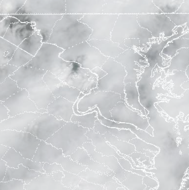
-
(002).thumb.png.6e3d9d46bca5fe41aab7a74871dd8af8.png)
E PA/NJ/DE Spring 2026 Obs/Discussion
ChescoWx replied to PhiEaglesfan712's topic in Philadelphia Region
I see my son's high school closed early. Let's all hope this falls apart well to the west and we get by with just some showers!! -
 Several reports starting to come in across Poolesville, Clarksburg, Damascus, Germantown
 -
I legit don’t think it’s gusted to 15 mph yet today here
-
 Were there any storm reports from Rd 1?
 -
Many are under a tornado watch and we don’t even have a thread
-
Not even going to make it to Columbia. Not sure if that helps or hurts lol