All Activity
- Past hour
-
Disagree with that. Bridgeport is the clear outlier and most stations were nearly identical. For the rain to be more even, Bridgeport would need to be more like the other 5 sites, not the reverse.
-
So they didnt move Rogers. I better see an extension announcement soon.
-
You’d think you would be used to disappointment by now.
-
That’s what we’ve seen happen in the last several years. In this el nino, we don’t need the PDO to be super positive. We just need to get it to neutral, then we’re in play. Stays at -2 or close to it? Might as well sell the snowblowers.
-

Augdewst 2026: Summer's Last Stand
Damage In Tolland replied to Prismshine Productions's topic in New England
1.48” . Solid rain but another bore. Maybe something more exciting later week -
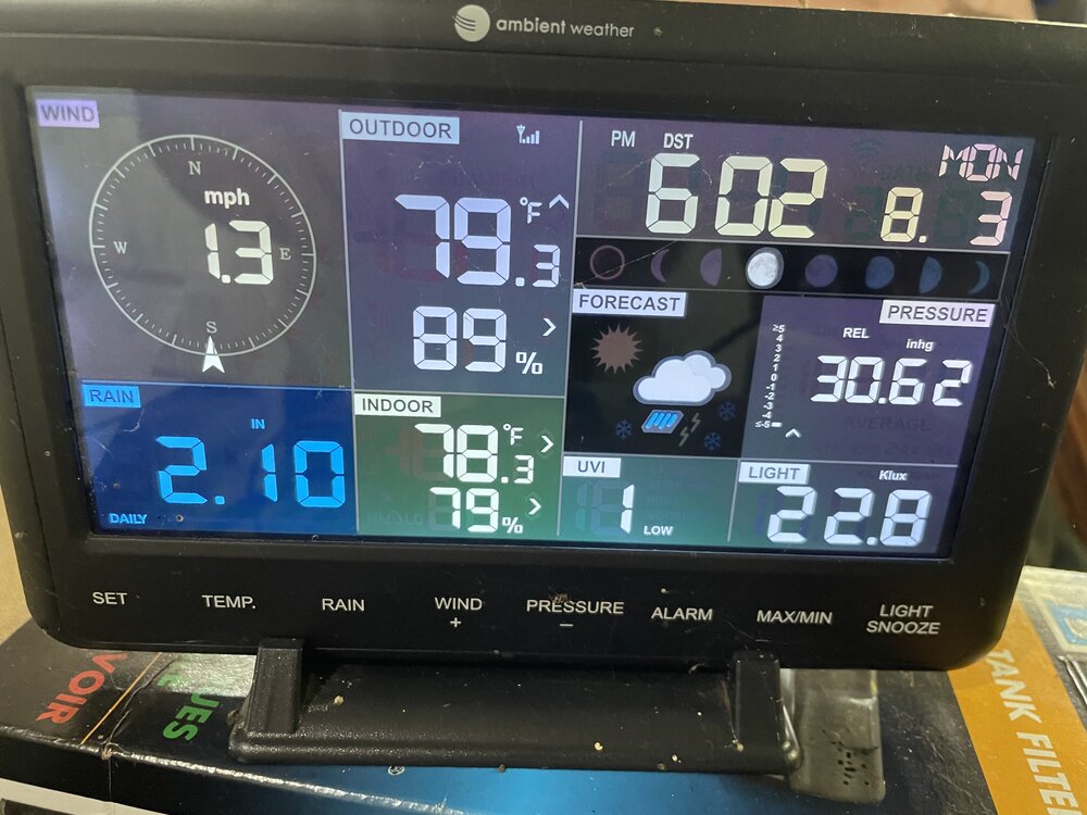
For those interested.
-

Central PA Summer 2026 Discussion/Obs Thread
Voyager replied to Voyager's topic in Upstate New York/Pennsylvania
Tank about an NEPA to South Central screw zone...sheesh. -
Was in Mills River today and it got up to 86 out there today. Absolutely miserable.
-

Augdewst 2026: Summer's Last Stand
Lava Rock replied to Prismshine Productions's topic in New England
Tropical downpour with the line but no thunder or lightning. Never seem to get good tstorms anymore Sent from my SM-S921U using Tapatalk -
 lire le rapport officiel Г©tudes acadГ©miques https://www.google.co.uz/url?sa=t&url=https://santefrancenews.top lire le rapport officiel [url=http://www.ndxa.net/modules/wordpress/wp-ktai.php?view=redir&url=http://santefrancenews.top/]cadre lГ©gal des prescriptions en France[/url] visiter le site web
 -
I don't have a home weather station, but have thought about how I would site one if I did. If they come with the ability to places the various sensors in different locations, I'd have the rain sensor in my garden, the temp and RH sensor in the back yard over the lawn where it is open to the sky but shaded by tall trees to the south, and the anemometer would go on the roof to get above the numerous trees and obstructions down at ground level.
-

2026 Spring/Summer Mountain Thread
Maggie Valley Steve replied to Buckethead's topic in Southeastern States
I had a brief sprinkle, but the temperature struggled to get out of the mid 70s all day. -
Most major sites are just a little above average since June 1st. Bridgeport is the only major station with an uneven big departure. So for the heavy rain to be more even most sites would need to be like Bridgeport.
-
a few 90s in NJ extending the mini heatwave for those that hit 90 Fr-Sat-Sun
-

Augdewst 2026: Summer's Last Stand
SouthCoastMA replied to Prismshine Productions's topic in New England
.25" -
As ALWAYS, great disco in this thread.
-
2.3 total since yesterday much needed! Prince Frederick Mesonet with 3.08 wow!
-
We are over due for a non-winer in NE TN. Just looking at yesterday's and today Euro LR ex control...winter may start early in the Rockies. Of course that means it will be extended summer here...haha -> the the pattern discussion thread and you will know why I am laughing. Every, single time. I think we see severe cold in the Canadian front rang or Plains at times. The real question is weather there will be a mechanism to move it southeastward. I have been watching solar flux lately. I know...I am bored w/ this pattern. Anyway, with the double peak over for this solar cycle, that could be a good thing for us. I actually don't like solar flux spikes. I understand they might cause disturbances in the strat, but....I think there might be a loose correlation to forecasted cold shots which never materialize. I tend to roll with this for temps in E TN. Dec - AN Jan - AN Feb - Normal Snow for NE TN only! Dec - BN Jan - Normal Feb - Normal My gut says this winter may be colder than most are projecting, even me. The CANSIPS has been sneaky good for a decade at the seasonal level. It is stubborn w/ a full winter ridge over Alaska. Euro seasonal are not enthused. That said, the CANSIPS are still at a range where they can change maybe one more time bigly. I think this winter may well be defined by 1-2 big storms to track. They may or may not result in anything. But w/ the STJ ripping and if the CANSIPS is even right for 2-3 weeks for the winter, there should be options for winter. Of note, strong or super Ninos generally are hot garbage over NE TN. My thoughts are that we are in a -NAO cycle, and that bails us out. The gradient in the Pacific matters quite a bit to grab an idea from typhoon tip. If the gradient is strong, we get typical Nino responses. If it is not strong, I suspect warmth dominates. Bastardi mentioned that today, but that is a staple of most seasonal forecasts to be fair. Without the solar flux spikes, we might steal some cold. PDO is a wildcard.
-
Wound up with beautiful afternoon weather Sunday and Monday at Assateague Island National Seashore. Surprisingly very little rain so far.
-
Getting some localized flooding here in West Asheville.
-
that looks very even to me...5/6 stations within 1 inch over a 60 day period is very even.
-
1.12" for the event. No complaints.
-

2026-2027 Super El Nino
SnoSki14 replied to Stormchaserchuck1's topic in Weather Forecasting and Discussion
Well you're not getting a +PDO so I guess we'll all be tanning in mid January -
Cloudy day with temps around 70 with a light Lake breeze again. Temps should be a little warmer coming up with a W wind.
-
And add to that...it's now coming out that they offered Adley extensions in November and May, and turned them both down...so from the business side it sounds like it had to be done! But still hurts having to be sellers AGAIN due to Elias incompetence. And I am getting more wary of Rubenstein in terms of next year...if he doesn't fire Elias then the dude is either legit clueless or doesn't care. I hope he listens to Cal and the other baseball minds in the group! There is no way you can be "pleased" with zero playoff wins and being sellers six times! Fire Elias or get more mediocrity--his choice.