Windspeed
-
Posts
4,733 -
Joined
-
Last visited
Content Type
Profiles
Blogs
Forums
American Weather
Media Demo
Store
Gallery
Everything posted by Windspeed
-
Yeah, also a +AMO. If the pattern does flip late and a +NAO roars into June and July, there's going to be some serious fireworks in the tropics w/ southerly hot & muggy flow across the greater Tennessee Valley and Southeast CONUS. Essentially successive rinse & repeat days until soil moisture begins to decline by August. A lot of variety isolated afternoon thunderstorms giving way to greater and greater spreads between days with precipitation. So still thinking Aug.-Oct. 2020 will lean dry barring a land-falling TC making its way across the region.
-
-
Region 3 is starting to nosedive. Looks like the precursor ENSO modeling has done really well this Spring as a La Niña does look to be developing....
-
Region 3 is starting to nosedive. Looks like the precursor ENSO modeling has done really well this Spring as a La Niña does look to be developing....
-
-
Unfortunately, I would wait. Chances are increasing of a several significant frosts and perhaps even freeze event into next week. We really need this beast of a -NAO signal to flip positive by late-May. It will, it's just being stubborn.
- 292 replies
-
- 2
-

-
- garden
- vegetables
- (and 4 more)
-
Hazardous pay gets it done, fast. Seriously. People can tolerate the inconveniences of road construction. They cannot/will not tolerate life without electricity. Those folks that rebuild those lines are incredibly focused both mentally and physically. And they get paid for it.
-
lol...
-
In simple terms, the ground temps are cool, airmass humidity is meh and there just may not be enough sunshine to increase both parameters fast enough in the surface-to-low levels of the atmosphere to increase instability. At least the kind of instability needed to drive severe nodes up in the Valley. Inevitably the timing of advancing precip/cloud cover would kill the chance for any of that to occur later this afternoon and evening. Otherwise, you would need strong low-level southerly flow to increase air temps and dewpoints drastically, and that doesn't seem to be occurring. So we'll get showers and storms, but it should remain mostly tame.
-
With a -NAO, deep ECONUS trough and strong subtropical jet in place, anything that would/could develop in the GOM is going to be a very asymmetric heavily sheared mess. Would probably resemble a system much like a running coastal low or nor'easter. However, that could bring severe storms across Florida and the coastal Carolinas if there were to be any phase. At any rate, something to watch in the long-range.
-
I am still working out my numbers. Where most seasonal forecasts are out and dependent upon neutral versus La Nina ENSO conditions, I am waiting just to bit, perhaps early May. The three major ENSO models should have better projections as region 3 begins to decline. I'd really like to know if we're going full Nina. Additionally, I'd like to know if +NAO is going to kick in big time and much earlier in the coming late Spring / early Summer period, or if that is going to oscillate virtually neutral as well. It's more than just projections of active versus hyperactive, but higher track nodes for the W. Caribbean or CONUS versus MDR and susceptibility to recurve.
-
http://www.essc.psu.edu/essc_web/research/Hurricane2020.html
-
Hank is an intelligent chaser and is usually cautious but, yeah, he was too close there. I'd imagine his wife will tan his hide over that one. Even the best chasers are still human and prone to mistakes. Being a professional storm chaser is a life that is susceptible to risks.
-
Well then. Definitely going to want to pay close attention to how this evolves over the coming days.

-
-
This year in particular has already been a memorable one for tornadoes in the Tennessee Valley. We've not only had destructive touchdowns, but they've unfortunately gone through urban and dense residential areas. So far, one EF2, two EF3s and one EF4 have all been destructive killers in the greater Tennessee Valley region. The season is far from over as well. The pattern in days 5 through 14 is looks suspicious in setup and midrange modeling. We'll have a quiet week. But next week may be active again.
-
Hahaha Reed Timmer Ric Flairing it.
-
Latest ENSO NMME forecast courtesy of@jaxjagman
-
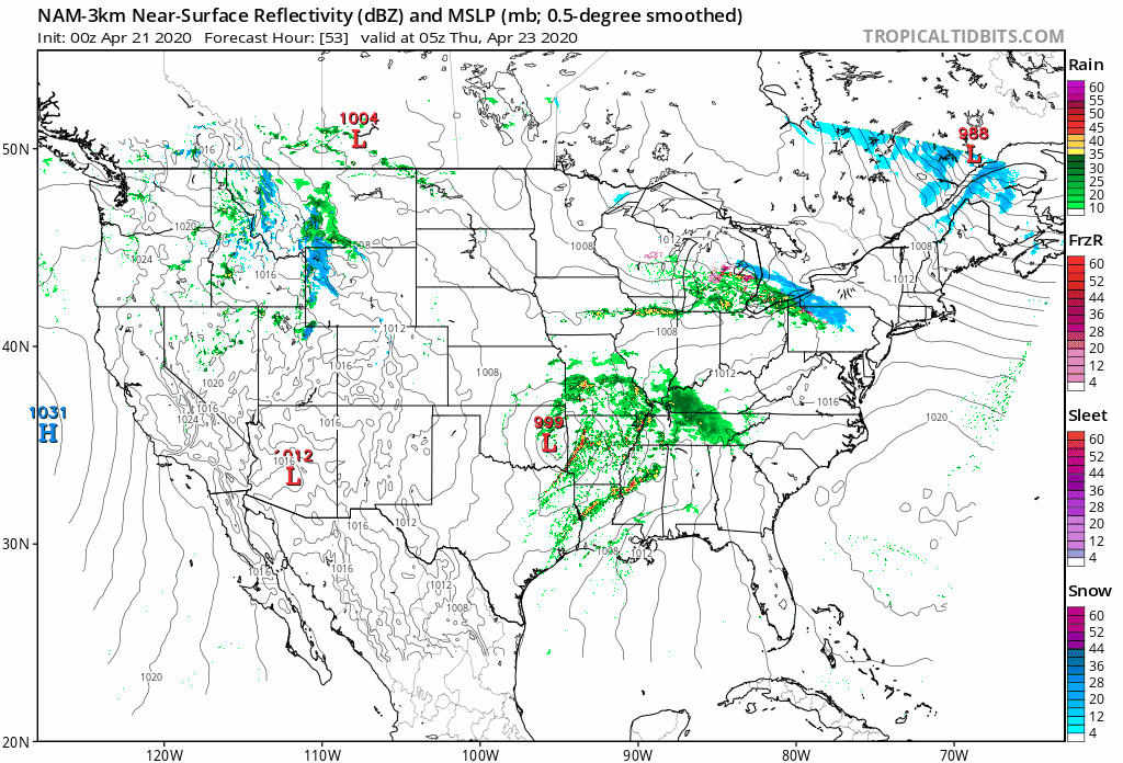
Quick discussion about a possible secondary boundary setting up SW of the current MCS complex (currently moving through EKY->SWVA->TriCities) over portions of ETN Valley later tonight when the main event rolls through. Could that add to the dynamics in play for some brief QLCS spinups?
-
-