All Activity
- Past hour
-
While the older Ms. J is not down on Campus she still got an email about the tornado warning. Saying it was located over Howard U.
-
Nuthin burger here again. We might be moving to Prince Frederick in a few months so maybe I'll actually see more than one thunderstorm a year. Summer in Germantown is sad
-

2025 Spring/Summer Mountain Thread
Rainforrest replied to Maggie Valley Steve's topic in Southeastern States
Storms been rocking again for the last hour or so. Up 5.02” for the day. -
0.50”. Decent thunder. Will forget about this by the weekend. DCA to 55mph. I gusted to 15mph
-
Annandale was rocking for sure. Continuous lighting, wind, torrential rains.
-
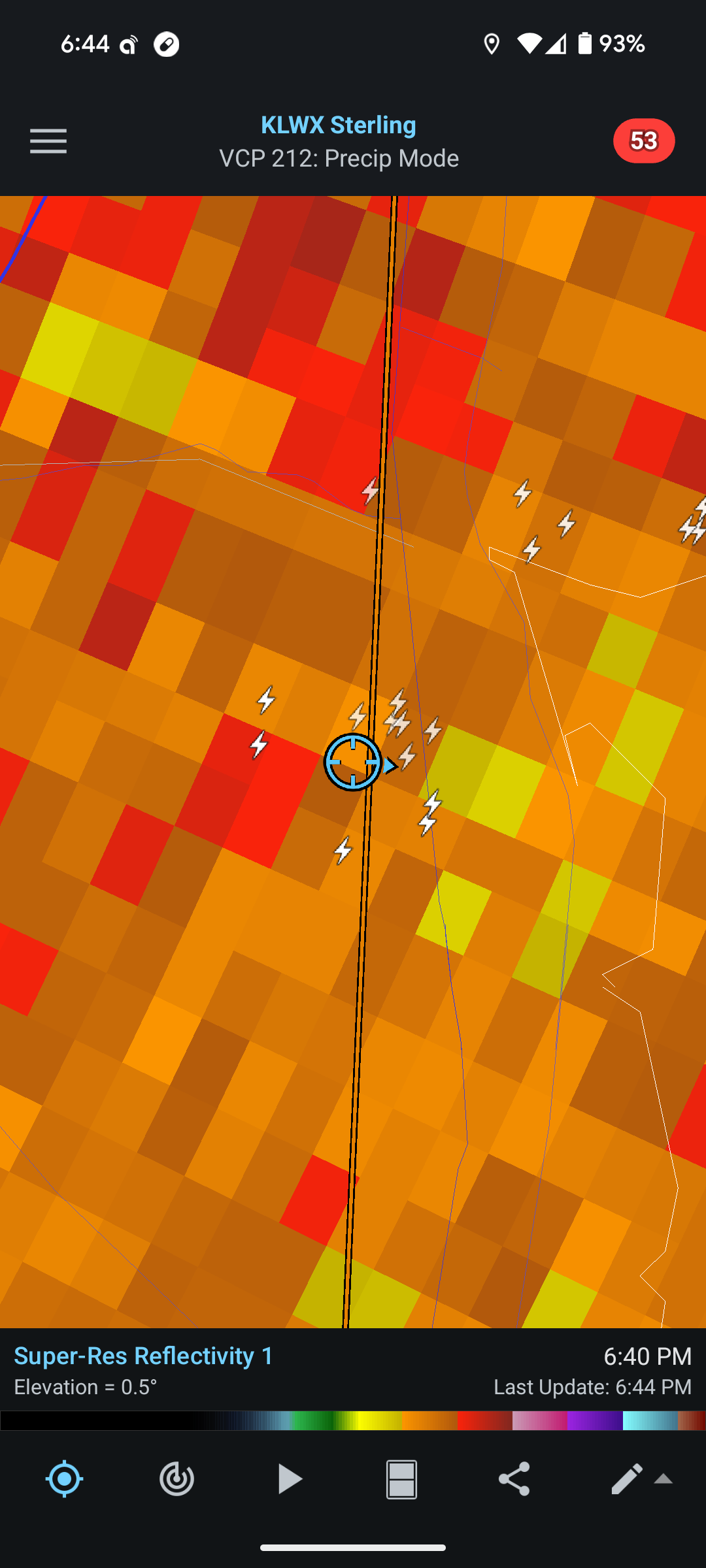
Not sure that this cell over DC needs a tornado warning, but I understand the caution
-
I believe it. Those stupid tulip and sycamore street trees up there are a risk in this storm.
-
Zeus trying to get me. Crazy lightning in this storm

-
It’s gotta be steady 45mph winds. 100% hitting severe criteria. Just a blizzard out there. My best storm in 2 years
-
Christmas eve 2025.
-

July 2025 Discussion-OBS - seasonable summer variability
LibertyBell replied to wdrag's topic in New York City Metro
Final high of 97 at EWR. -
One inch of rain and counting today. That’s 2.5 for July and nearly 8 inches total over last 30 days.
-
I just looked at the Arlo cams on my city house in Bloomingdale and you're right, it's a lot of wind with torrential rain.
-
Driving in 40-50dbz is not fun
-
Tornado warning. Not saying I was in it, but winds were windy.
-
Wow!!
-
Was out walking from Ellsworth plaza back home and saw a bolt hit the Hilton hotel tower. Startlingly close.
-
Storm of the year in DC near Union Station. Surprising amounts of wind. No visibility
-
Hi I’m @JiWhere the hell are these afternoon soakers in January and February!?
-

2025 Spring/Summer Mountain Thread
Maggie Valley Steve replied to Maggie Valley Steve's topic in Southeastern States
I finally got a tenth of an inch of rain today. It's starting to get mighty dry around the Valley. Hopefully we'll see more chances the next several days. -

E PA/NJ/DE Summer 2025 Obs/Discussion
BBasile replied to Hurricane Agnes's topic in Philadelphia Region
Maybe not? Point remains, though. -
You get screwed almost every time the low/mid level winds are westerly. I don't recall the exact setup back in June when your area was getting clobbered, but I bet the winds were from the E/SE.
-
July 2025 Discussion-OBS - seasonable summer variability
LibertyBell replied to wdrag's topic in New York City Metro
I do believe Newark is representative of its area but not for our area as a whole. You just have to look at the summer of 1993 to see that. Although Newark's hottest summers match my own area's they are always a few degrees hotter. In 1993, Newark had 9 100+ days while NYC had 3 (in a row) and JFK had 2 (in a row.) This was before the siting issues. You can even go back to 1949 when Newark had 8 100+ days while NYC had 5 99+ days. Newark has almost always been a few degrees hotter than Central Park, even before the siting issues. As a matter of fact, going by number of 90 degree days, Newark closely matches Philadelphia, so I'd say their summer climate is more like Philadelphia than it is New York City-- which makes sense, since it is inland. -

July 2025 Discussion-OBS - seasonable summer variability
qg_omega replied to wdrag's topic in New York City Metro
DC is hit everyday -
Letting up a bit after a solid 25 minute deluge.