All Activity
- Past hour
-
A tale of two nations
-

December 2025 Short/Medium Range Forecast Thread
Carvers Gap replied to John1122's topic in Tennessee Valley
18z suite commentary...I will just update this post. 18z GFS: At 162, it looks like it is about to unload some cold air into the Lower 48. The trough in the PNW is less, and the BN heights over northern Canada look to be rotating southward. -
Road crews were working today anyway. If you wait until tomorrow, you're paying overtime.
-

Minor snow possible sunday 12/14/25
bluewave replied to WeatherGeek2025's topic in New York City Metro
Getting RRFS’d doesn’t have as good a ring as getting NAM’d. -
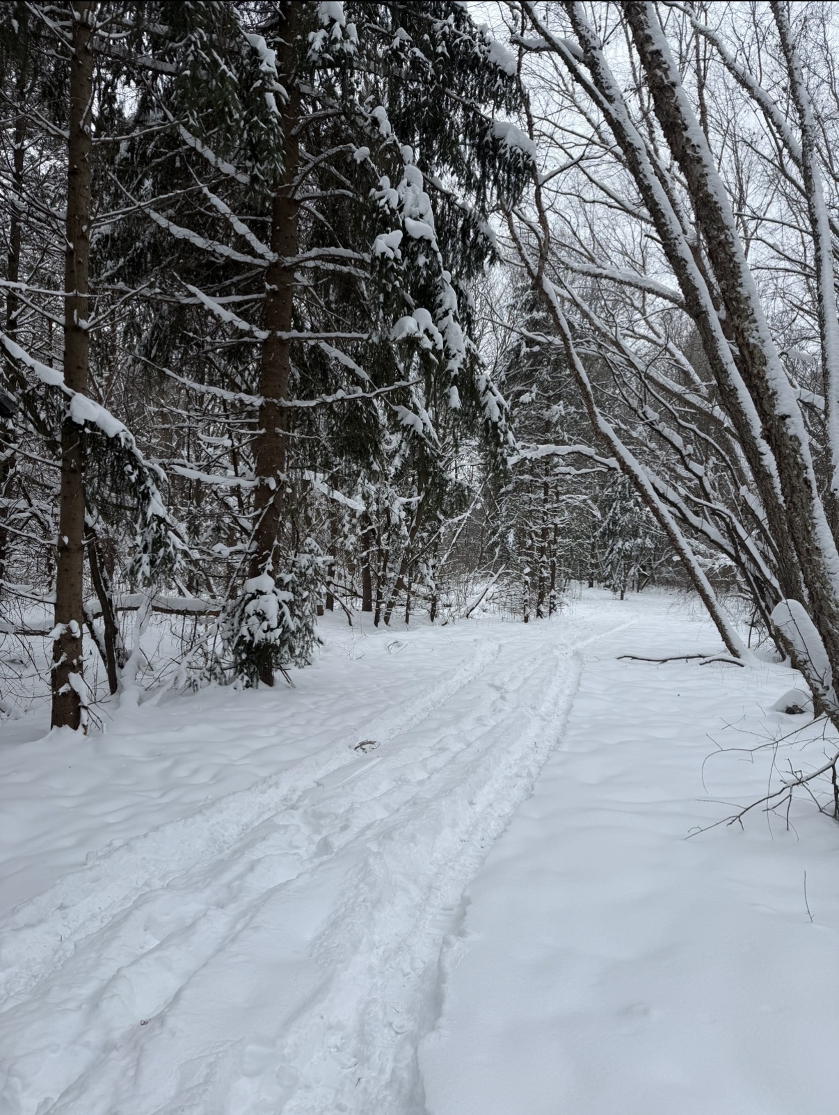
Front blasted through. Winds howling, snapped this photo at work right before all the snow was blown off the trees.

-

Minor snow possible sunday 12/14/25
RU848789 replied to WeatherGeek2025's topic in New York City Metro
"GFS, your failure is complete." Spoken in the voice of Darth Vader. As an aside, the system told me I couldn't post a GIF showing these 3 images as it was too large, but I was able to paste the 3 images in separately. Seems a bit odd. -

Saturday night/Sunday 12/13-12/14 Jawn
LVblizzard replied to Ralph Wiggum's topic in Philadelphia Region
Aside from the 18z HRRR and 12km NAM, all models in the evening suite have either held serve or gotten a little more amplified. Also, 21z RAP now gets 2” nearly to Scranton while the I-95 corridor sees 4-6”. Wonder what this means for the 0z runs…will we see a more robust system? -
18z GFS obliterates Kamu
-
I think I heard that in an Elvis song
-
and I just looked at the ICON and it says YEP also,,,,,,,,ps I literally just looked th these 4 models for the first time in days,,,,,,thoughts for Saturday into Sunday ?
-
Trouble? You’ve come to the right place. .
-
Same in AA Co. not sure why.
-
Canadian says hi also ,,,,,,
-
While we are at it = GFS also
-
I'm not looking to start any trouble but it's less than 48 hours away and the Euro is still showing some snow for the area ? Just sayin
-

December 14th - Snow showers or Plowable snow?
TauntonBlizzard2013 replied to Sey-Mour Snow's topic in New England
Another bump like that on the gfs at 00z and someone could get a good event -

12/14: Sunday funday? Will the south win again?
Maestrobjwa replied to TSSN+'s topic in Mid Atlantic
Yeah I'm slightly concerned--in part because in ninas NS waves favor E/NE of here more, it seems...so if we saw a slow bleed that way I would not be shocked. But hopefully not -
Even away from the mountains it’s been a pretty snowy period. Not necessarily in terms of total accumulation but just a constant light snow. I think I’ve got 5”-6” this week.
-
December 2025 Short/Medium Range Forecast Thread
Carvers Gap replied to John1122's topic in Tennessee Valley
This is probably a little bit over done, but wow. The 18z GFS puts down 2-3" on Sunday for TRI and the foothills. I would not be surprised to see more areas which see at least some snow in the air - maybe not even seen on radar. -
Pretty clear trend for 4+ amounts to occur from NE MD to N DE into SNJ, maybe as far north as Philly.
-
What ratio should I expect? On .00 QPF
-
Same with AA county .
-
Latest blend. The 4" over my yard is from some of the CAMs, like the FV3. Not buying that. All other guidance indicates 2-3.
-

December 2025 regional war/obs/disco thread
Damage In Tolland replied to Torch Tiger's topic in New England
These are the lifetime experiences and memories we seek -

12/14: Sunday funday? Will the south win again?
BTRWx's Thanks Giving replied to TSSN+'s topic in Mid Atlantic
Is this ant different from other clippers? Are we just lucky in the positioning?