All Activity
- Past hour
-
I think Kansas will see a tropical storm before we do again. Or just anyplace but here
-
What a ride for October at Pen-Mar. A 91 and at 35 so far.
-
I can hear the thunder from that super cell here on SGI.
-
You have to move out to the western burbs; it’s close to a top 10 day of the year. I’ve stopped working and have cracked open a beverage.
-
Very strong supercell churning approx 35 miles SE of Carrabelle
-
The eyewall is roughly 4 hours away. We’re on final approach
-
Caps need to slow down Blue tonight. Alex T for the game winner.
-
Most of the latest hurricane models had this around 950mb at its current spot. How much it weakens from here on out is the question. The HWRF actually keeps it sub 960mb at landfall. We shall see.
-

2026-2027 Record-breaking El Nino
mitchnick replied to Stormchaserchuck1's topic in Weather Forecasting and Discussion
You just can't get over Pearl Harbor. -
Conditions are steadily deteriorating in Wright FL. Conservative sustained winds are 25 with gusts to 35-40 .
-
My initial reaction was that tornado potential would be confined to southeast VA and the Eastern Shore, because widespread rain over the DC metro area would limit instability. Looking at CAMs, however, suggests that rain will likely end by early or mid afternoon for areas south and southeast of the warm front, and some decently high theta-e air will be available. With the intense shear forecasted, it won't take much instability to make things very interesting. The question, though, the track of the surface low. My money is still on a track that keeps the warm sector south and east of DC, but there are solutions that track the low further to the northwest which would put our area into the game later Sunday.
-
We'll see. Recon is showing maybe some hints of shear starting to impact the core. We're very fortunate the shear is here.
-
I think there's going to be two factors at play leading to steady state through landfall: baroclonic forcing leading to pressure drop (seeing now), and shear weakening one half of the storm allowing dry air in and an expansion of the wind field
-
Most here know way more than me so I ask questions but there is No Doubt that 80% of the discussions yesterday had this ripped apart by shear. In fact and once again it’s strengthened and will maintain intensity at landfall which used to be a definite rarity
-
Way off topic for us, but it looks like a tropical storm (maybe hurricane) for San Diego within the next week. Serious flooding into the deserts of Nevada and Utah.
-
-
but in those last couple of frames you do not see the convection back build in the south and south east of the storm. I hope that is the start of the weaking process.
-
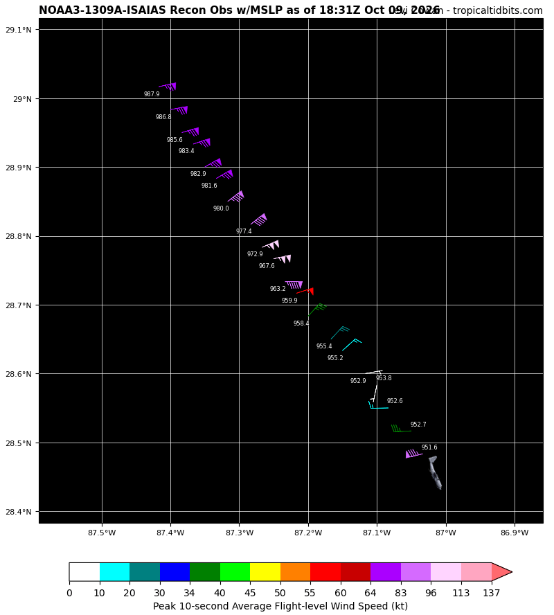
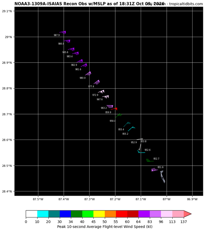
Wow, confirmation from the second plane too, 951.5 at least. So probably ~956mb
-

2026-2027 Fall/Winter Mountain Thread
Moonhowl replied to BlueRidgeFolklore's topic in Southeastern States
Thinking we will have similar conditions to Hurricane Opal in this neck of the woods. -
starting to strengthen quick.. it was 959mb last update
-

2026-2027 Fall/Winter Mountain Thread
Maggie Valley Steve replied to BlueRidgeFolklore's topic in Southeastern States
Fairly significant pressure drop recorded by RECON a couple of minutes ago. Looking more likely we have a CAT 4 now. -
One thing shear is doing is going to work on eyewall symmetry. Half-a-cane look starting. Hopefully that starts the weakening process. This current convective burst and little change with the CDO seriously lessen the chances of significant weakening but you can tell this storm is simply being held in check atm
-
I'll just add note the deep convection with lightning that continues to fire around the center. As long as that happens, this isn't weakening any.
-
I see 951.6mb extrap. A very substantial fall.
-
My God what does it take for the football talk to get taken to banter?