All Activity
- Past hour
-

-
Smoke in the DC burbs now? Smells like a campfire outside
-
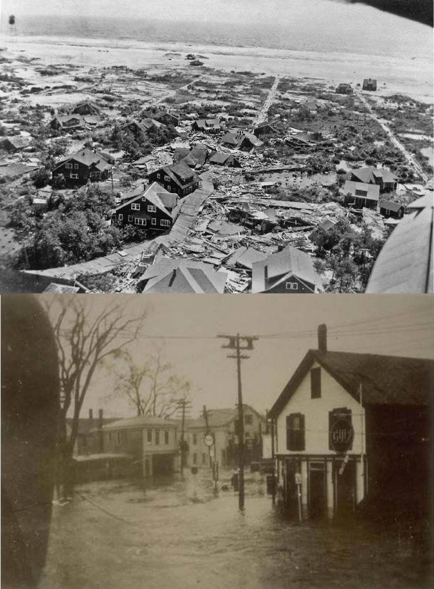
1938 reduix would be fvcking crazy <3 awful
-
Fall cankerworms have wreaked havoc on tree foliage here in Garrett County. Half of the trees on the ridge we’re on are bare. Foliage should leaf out later this month to mid July, hopefully. https://www.heraldmailmedia.com/story/news/local/2025/06/13/caterpillars-are-stripping-trees-bare-in-western-maryland/84163402007/
-
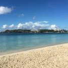
I just go here, and heard it was partially cancelled this afternoon because of the ceiling height. I'm hoping to see some of the show tomorrow. Any sites for ceiling height forecasts for down here? Nice I'm here till Tuesday, staying beach front with my kids.
-
Yeah but even with our small area it's still more scattered than not (think of how many times a line crosses the mountains and splits north or south). @Kmlwx give me an assist here, lol
-
-
Yeah, who knows which was "worse" but the 1635 route probably had overall warmer waters (Late August rocket fuel) and took on slightly warmer waters than the 1938, due to a 1944 ish curve closer to shelf waters.
-
Tomorrow will be another very cool day for the season. The temperature will top out in the middle and upper 60s. It will gradually warm up on Monday and Tuesday. By Wednesday, the mercury could reach 80°. No exceptional heat appears likely through the first three weeks of June. However, a sustained peirod of above normal temperatures could develop starting late next week. The ENSO Region 1+2 anomaly was +0.4°C and the Region 3.4 anomaly was 0.0°C for the week centered around June 4. For the past six weeks, the ENSO Region 1+2 anomaly has averaged +0.23°C and the ENSO Region 3.4 anomaly has averaged -0.07°C. Neutral ENSO conditions will likely continue through at least mid summer. The SOI was +0.42 yesterday. The preliminary Arctic Oscillation (AO) was -0.149 today. Based on sensitivity analysis applied to the latest guidance, there is an implied 60% probability that New York City will have a warmer than normal June (1991-2020 normal). June will likely finish with a mean temperature near 73.0° (1.0° above normal).
-
at least you didn't get the rain we have here, 61 and rainy all day yuck
- Today
-
Looks like today may be another NOVA special.
-
EPS is real warm. Yeah it may cool off at the end but still AN.
-
Some debate about if 1635 was worse than 1938... I know it pushed a lot of water ahead of it. With CC and all, it does lend to the idea that a more powerful storm could survive up here
-

2025-2026 ENSO
40/70 Benchmark replied to 40/70 Benchmark's topic in Weather Forecasting and Discussion
I'm in the 50's and cloudy today...great yard work weather. -
*WAS terrible. 1635 was the GOAT though, something like that could be improbable damage. Ideally it is like Hurricane Carol but 15-30mph stronger LF's and much larger, like a mini Typhoon Tip <3
-
For up here? ... I know the mud scrolls or whatever hint at pretty powerful storms in the 1400s or whatever... Not sure we could top a 1938
-
2025-2026 ENSO
40/70 Benchmark replied to 40/70 Benchmark's topic in Weather Forecasting and Discussion
I think it snip my scrotum and use it to tie a noose to hang myself with. -
1938 was terrible but I mean, aren't there worse possibilities?
-
Yeah I’ll pass.
-
It's such a small area that a sizable storm line covers most of us.
-
We take!
-
Getting a little bit .06