All Activity
- Past hour
-
I don't know what trough was over the Ohio Valley last summer. The region saw the worst drought since the Drought Monitor began in 2000 for many areas, with the most 90+ days in decades [and hottest temps in decades in some spots].
-

E PA/NJ/DE Spring 2025 Obs/Discussion
BBasile replied to PhiEaglesfan712's topic in Philadelphia Region
Inflow band extending southward from the tornado warned storm over Camden/Atlantic Counties. I'm guessing the cloud was probably only 150 ft or so above the ground at it's lowest point..thumb.jpg.c4097c64ac3e064c09814979c4e8ed87.jpg)
-
The mute swans are gorgeous though I've seen them in Queens too at Alley Pond Park
-
This is the cell that I was watching on radar that formed on 404 between Denton and Bridgeville. We just settled on a place in Millville and are heading down in about 30 minutes. Too bad I didn't go down earlier, would have been driving parallel with the storm.
-
wow I haven't seen the giant great blue heron yet!!
-
Severe Weather Statement National Weather Service Pittsburgh PA 302 PM EDT Fri May 16 2025 PAC125-161915- /O.CON.KPBZ.TO.W.0012.000000T0000Z-250516T1915Z/ Washington PA- 302 PM EDT Fri May 16 2025 ...TORNADO WARNING REMAINS IN EFFECT UNTIL 315 PM EDT FOR SOUTH CENTRAL WASHINGTON COUNTY... At 302 PM EDT, a severe thunderstorm capable of producing a tornado was located 10 miles north of Waynesburg, moving east at 35 mph. HAZARD...Tornado. SOURCE...Radar indicated rotation. IMPACT...Flying debris will be dangerous to those caught without shelter. Mobile homes will be damaged or destroyed. Damage to roofs, windows and vehicles will occur. Tree damage is likely. Locations impacted include... Deemston, Marianna, Scenery Hill and Amity. PRECAUTIONARY/PREPAREDNESS ACTIONS... Move to an interior room on the lowest floor of a well-built building away from windows. If you are outdoors, in a mobile home, or in a vehicle, move to the closest substantial shelter and protect yourself from flying debris. && LAT...LON 4002 8024 4007 8024 4013 8011 4009 8008 4001 8006 4001 8020 TIME...MOT...LOC 1857Z 260DEG 31KT 4003 8025 TORNADO...RADAR INDICATED MAX HAIL SIZE...0.00 IN $$ Rackley
-
 looks p hyped down there
 -
models are dry for the rest of the day and even mostly dry for tomorrow
-
So we done for the day and weekend? My grass has grown another 1.5" since Mondays mowing and I gotta figure out if I can get a mow in tomorrow.
-
7 day precip, continued wet pattern.
.gif.b9a335a7136e746568ada7190dab7b03.gif)
-
Tornado warning SW Pennsylvania. Maybe a sneaky tornado threat this evening?
-
Garrett County getting mugged
-
Clearing here presently, DP up to 68, a steam bath. Basically missed round one with the two tonado warnings in Salem County, NJ., and the Georgetown/Dagsboro, DE / radar indicated Tornado warning. Very active week weatherwiseso far, and we are not done yet! Area in WV looks ominous.
-
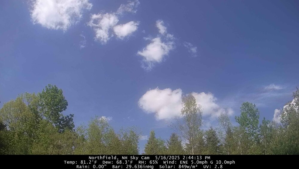
dendyGW today 81.4° so far. Car thermo was 86-88° from downtown CON to Canterbury going 80mph…so solid mid 80s there.
-
Yeah they are invasive Mute swans. What’s cool is the giant great blue heron that lives in the north lake! Glad the rain disappeared before the island, we need to dry out a bit.
-

E PA/NJ/DE Spring 2025 Obs/Discussion
RedSky replied to PhiEaglesfan712's topic in Philadelphia Region
South Jersey transit strike/extra commuters on the roads with giant storm what a combo -
the sun is starting to come back out now....
-
I love Hempstead Lake State Park and the wonderful swans that nest there!
-
The new watch west of the bay is in effect until 10pm. The watch over here expires at 5pm. I'm guessing it would be extended.
- 604 replies
-
- 2
-

-
- severe
- thunderstorms
- (and 2 more)
-
fwiw if we start dumping sulfates into the atmosphere like we probably will by 2030, it's going to make the climate cooler (or stabilize it) and drier.
-
they're going to be wrong like they always are, wet and dry go in cycles, we'll have some record drought again just like we had in the 60s. Remember they were predicting an average of 3 100 degree days every year by the year 2045
-
We missed all the rain but man not the humidity. DP is 67 (temp is 83) at 2:40.
-
don't need them or want them anyway, a little light rain and thunder before the sun comes out is just fine :-)
-
I know about Hempstead Lake State Park but Valley Stream has always just been a run down semi urban area with Green Acres Mall to me.
-
Yeah after reading the meso discussion it seemed pretty likely.
- 604 replies
-
- 1
-
-
- severe
- thunderstorms
- (and 2 more)


