All Activity
- Past hour
-
Yep. BOS is +3.3F for Morch. today might bring that down a hair.
-
I think BOS is decently AN this March
-
The weekend started on a cold note. Low temperatures included: Boston: 27° Danbury: 28° Bridgeport: 31° Islip: 32° New York City: 31° Newark: 31° Philadelphia: 33° Poughkeepsie: 25° Sussex: 25° White Plains: 27° Tomorrow will become somewhat milder. The warming trend will continue through the remainder of March with the temperature reaching the lower and middle 70s as March concludes. April will also start with readings topping out in the lower to middle 70s, but a cold front will knock down temperatures shortly afterward. A wet period could follow. The ENSO Region 1+2 anomaly was +1.6°C and the Region 3.4 anomaly was 0.0°C for the week centered around March 18. For the past six weeks, the ENSO Region 1+2 anomaly has averaged +1.15°C and the ENSO Region 3.4 anomaly has averaged -0.08°C. Neutral ENSO conditions will continue through at least mid-spring. The SOI was -11.92 today. The preliminary Arctic Oscillation (AO) was +2.569 today. Based on sensitivity analysis applied to the latest guidance, there is an implied near 100% probability that New York City will have a warmer than normal March (1991-2020 normal). March will likely finish with a mean temperature near 46.4° (3.6° above normal). Supplemental Information: The projected mean would be 3.9° above the 1981-2010 normal monthly value.
-
Friday definitely looks like it could at least start as snow in SNE. Hideous pattern thru day 10 after Wednesday
-
5th-6th Hat and hooded sleeping bag. Just breathe it in.
-

E PA/NJ/DE Spring 2026 Obs/Discussion
RedSky replied to PhiEaglesfan712's topic in Philadelphia Region
GFS tries too ends up a battleground -
E PA/NJ/DE Spring 2026 Obs/Discussion
RedSky replied to PhiEaglesfan712's topic in Philadelphia Region
Euro salvages some of Easter weekend kicks the backdoor out - Today
-

E PA/NJ/DE Spring 2026 Obs/Discussion
Birds~69 replied to PhiEaglesfan712's topic in Philadelphia Region
Don't get me started, I could have went on and on!! MetsFan is a good guy and highly welcomed unless the Mets are doing well then I'll throw the shit out of him... -
I'm highly confident that when the March temperature anomaly is made available by NASA in a couple of weeks it will reveal the 6th consecutive month where a cold sink hole's apparently anchored over the NE' U.S.
-
You have me as a witness... Seems there's been a bit of a + anomaly with that standing wave cloud materialization phenomenon going on this early spring. We had nape sun earlier but have since denigrated the skies to a virga blizzard with blotches of dark exploded CU ...corpuscular rays blasting out around the edges as they made sure to eclipse any hope of penetrating sun. Nothing reaching the ground of course... Reminds me of that first winter like cold snap in mid November you get. Maybe if your lucky while raking you'll see a single flurry flake catch the corner of your eye.
-
when i went out this morning it was 31 degrees wind chill in the 20's..
-
could be 40's again by next friday with rain..
-
Perhaps lol. well.. .not lol but yeah. anyway, I was being a little tongue in cheek just based upon that GFS run showing an anomalous deep troposphere ridge over the eastern mid latitude continent, in a pretty ideal spatial layout. It's way out there in time though... so not much predictive skill. I will say though, the operational model runs are all vastly colder than the indexes suggest they really should be. But when they are all doing it, it makes it harder to argue against just the same. So not sure what to do in the interim. We may have to deal with IP bombs going off under 570 dm heights, I guess. For f-sake can these models admit to seasonal change already?
-
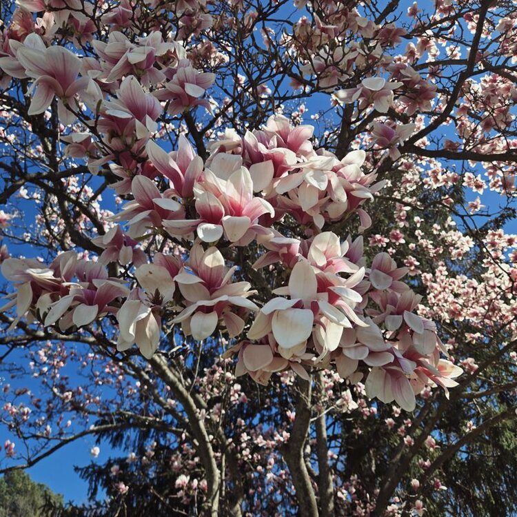
Cold but blooms be blooming
-
You can tell some of the bigger cores ripped through Wood County. Thankful I didn’t get that stuff around BG. Ready for the yo-yo temps to settle a bit, we just can’t seem to shake the cold yet
-
They'll get active here in mid-April, and except for the odd 6-week late summer hiatus, will be hunting for blood until snow cover arrives. My unfavorite-est arthropod.
-
I know it’s the end of the run, so who cares, but nothing else to talk about right now, so why not: that W/SW moving Low between 11-13 Apr towards Florida on the 12z gfs is weird to see this early in the year
-
September sun angle helps but that wind has a bite. Good thing it's a one day deal.
-

It's time to grade Winter 2025-26(now that it's actually over)
Rhino16 replied to CAPE's topic in Mid Atlantic
C+. I can’t say I had more than 2” of snow on the ground at once so the low foliage was never truly covered. If that freezing rain storm had been snow or even sleet, I would be at a B- or A for my location. I was outside for a lot of the events though, so they were fun, I can say that. -
Yep cold winters definitely aren’t enough anymore. Little bastards
-
I'd imagine an April 1976 redux today would have the favored areas approaching 100 lets do it
-
At least it's sunny but this wind sucks. March is by far the worst month.
-
final freeze of the spring for the airports tonight?
-
We have a great small knit crew that diligently takes care of it throughout the season and we do really enjoy it. It’s nice to see what it is actually at the ski area, vs just estimating snowfall and throwing numbers out there. You really see the importance of taking a measurement at the same place all the time and as a skier, you start to be able to guess pretty accurately what you’ll find there based on observations elsewhere on the mountain. No matter what, as long as one continues to record obs in the same manner over and over, it makes for fun data comparisons.
-
Not terrible in the sun. Snowblower moved to the shed and summer stuff to garage. Time to live again


