All Activity
- Past hour
-

January 2026 regional war/obs/disco thread
TauntonBlizzard2013 replied to Baroclinic Zone's topic in New England
I saw the gfs and it was somewhat interesting, but euro sliding SE makes me think it’s all a dream, per usual -

Winter 2025-26 Medium/Long Range Discussion
A-L-E-K replied to michsnowfreak's topic in Lakes/Ohio Valley
extended still p sleepy but rife with mood dusters -
GFS agrees. At least the coast of NC doesn't go without a storm this winter. They seem to do better than the Catoctins and Carroll County in the past 10 years lol. The GFS wasn't terrible. It gives us some scraps and crushes the Tug Hill. Going back Jan 20th for a week.
-

2025-2026 ENSO
40/70 Benchmark replied to 40/70 Benchmark's topic in Weather Forecasting and Discussion
Except mid January, as was outlined last fall. -
Wasn't there originally a coastal? That idea is long gone. Now we are just hoping for a quick change over and accumulation. Upside potential is probably limited to under an inch best case. Hardly back from the dead.
-

January 2026 regional war/obs/disco thread
Sey-Mour Snow replied to Baroclinic Zone's topic in New England
6z update on Sunday/Monday threat .. GFS NW moderate hit for ENE, EURO ticked SE, AIFS NW - light to moderate hit ENE -
2025-2026 ENSO
40/70 Benchmark replied to 40/70 Benchmark's topic in Weather Forecasting and Discussion
But La Nina is dead!!!! -
2025-2026 ENSO
40/70 Benchmark replied to 40/70 Benchmark's topic in Weather Forecasting and Discussion
Yea, I've been on the big-finish train. You have to think it starts up soon...probably when the MJO hits 7. -

January 2026 Medium/Long Range Discussion
RevWarReenactor replied to snowfan's topic in Mid Atlantic
GFS in the extended range reinforces my thoughts going forward. A couple dustings here or there, followed by cutters. Warm wet, cold dry. -

E PA/NJ/DE Winter 2025-26 Obs/Discussion
Mikeymac5306 replied to LVblizzard's topic in Philadelphia Region
Whoda thunk it? Looks like we are back in play for the MLK storm. At least the coast is as of now. -
Some CAD going on this morning. Was 39 at home and frost here at work. Probably around 33 degrees.
-
What’s that old saying again? Dont trust 6z or 18z runs because they don’t use fresh data? I know there was something in the weenie handbook regarding that. I forgot the chapter and page though.
-
-

Richmond Metro/Hampton Roads Area Discussion
mikeeng92 replied to RIC Airport's topic in Mid Atlantic
Back in the game for Sunday. GFS and UK bring snow back to Richmond. More for HR. euro still needs work -
January 2026 regional war/obs/disco thread
Sey-Mour Snow replied to Baroclinic Zone's topic in New England
Well after the fake -NAO tease for early Jan .. We all said Jan 15th period was possible but unlikely, the first real threats would show up Jan-18 on beyond .. It's still the case even though Jan 18 is still very low probs and next week looks boring for now.. -
6z euro says congratulations coastal Carolina’s and gives them 3-6”.
-

2025-2026 ENSO
so_whats_happening replied to 40/70 Benchmark's topic in Weather Forecasting and Discussion
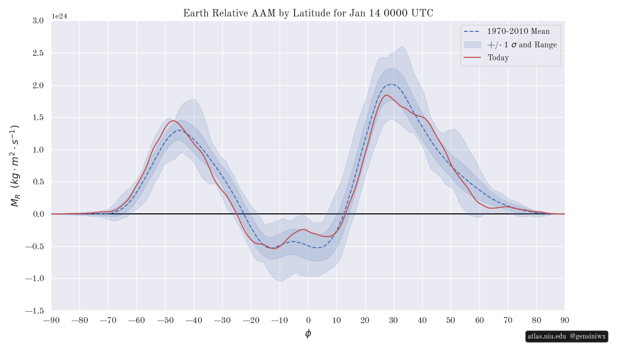
Location is also extremely important for where these anomalies exist. https://atlas.niu.edu/gwo/ While the tropics are exerting more of a El Nino flair which may very well be enhancing some of these cold dumps horse to mid latitudes have not yet caught up.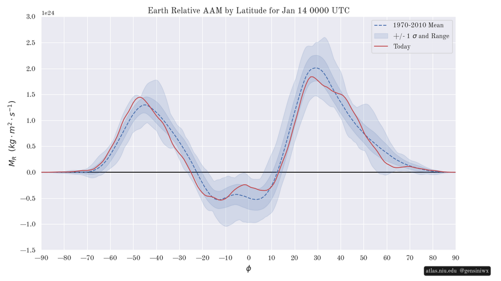
-
We still have a lot of work to do with this storm. I think as we move forward every storm track and intensity will be dependent on the other.
-

January 2026 regional war/obs/disco thread
Chrisrotary12 replied to Baroclinic Zone's topic in New England
Insert kicking the can picture -
That’s almost there another 100 nw and more expansive snow shield we are in business. I don’t think we will know until the baroclinic zone sets up as the trough burrows into the east and the cold front clears the east coast.
-

January 2026 regional war/obs/disco thread
UnitedWx replied to Baroclinic Zone's topic in New England
Totally. We need to see lots more before there's really any interest -
2025-2026 ENSO
so_whats_happening replied to 40/70 Benchmark's topic in Weather Forecasting and Discussion
Im not a fan of cherry picking charts. I remember rather well that CDAS 3 years ago during the Nino event was showing SSTs in the moderate to low end strong sector (roughly 1.3-1.5C above average) when almost every other (OISST, ERSST, CRW, etc.) was showing the waters near upper end strong. Now we use it to show La Nina? Come on with that. Honestly if you are going to show these types of charts in either picture stick to one source. -

January 2026 regional war/obs/disco thread
mahk_webstah replied to Baroclinic Zone's topic in New England
Could be a situation where something big shows up on models, then gets iffy, then slowly comes back. Happens a lot. -
January 2026 regional war/obs/disco thread
Sey-Mour Snow replied to Baroclinic Zone's topic in New England
Lastly all ensembles are ideal post that overrunning threat next weekend..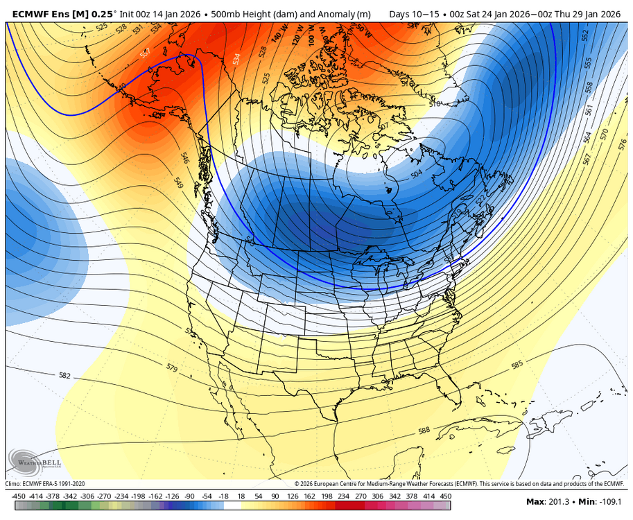
-
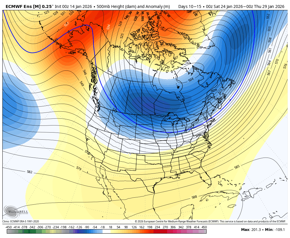
NW trend is our friend…. NW trend is our friend… NW trend is our friend. .