All Activity
- Past hour
-

First Legit Storm Potential of the Season Upon Us
The 4 Seasons replied to 40/70 Benchmark's topic in New England
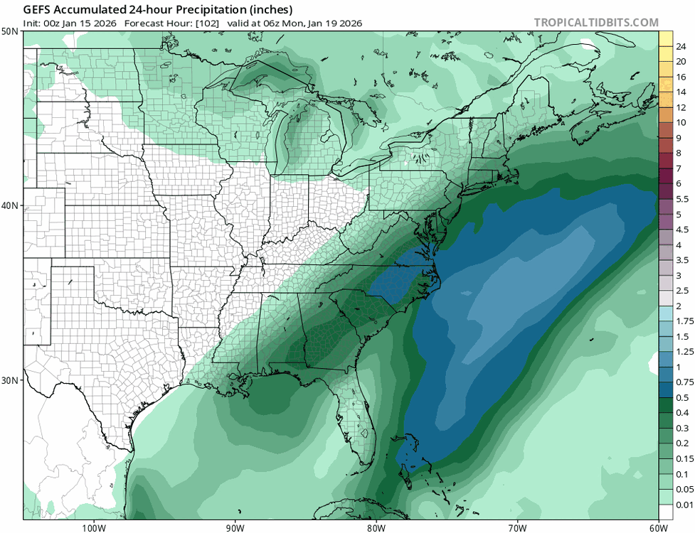
pretty much, the AI models have been steady and consistent. Id like to think that was a fluke run but the GEFS jumped off a cliff and jumped way E, the mean cut down significantly. -

Winter 2025-26 Short Range Discussion
roardog replied to SchaumburgStormer's topic in Lakes/Ohio Valley
At least you’ll have a good snowpack to maximize the brutal cold that is coming next week. -
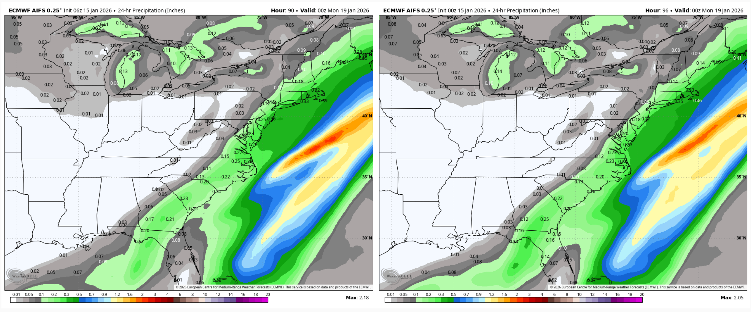
Ai euro did come west to give the coast some accumulating snow.
-
First Legit Storm Potential of the Season Upon Us
The 4 Seasons replied to 40/70 Benchmark's topic in New England

-

First Legit Storm Potential of the Season Upon Us
ORH_wxman replied to 40/70 Benchmark's topic in New England
That 06z GFS was kind of spooky. Everything was trending great until that run. Hopefully we get a tick west here on 06z Euro. The skynet models (both GFS and Euro skynet) have kept ticking west though. Good sign there. -

Winter 2025-26 Short Range Discussion
sbnwx85 replied to SchaumburgStormer's topic in Lakes/Ohio Valley
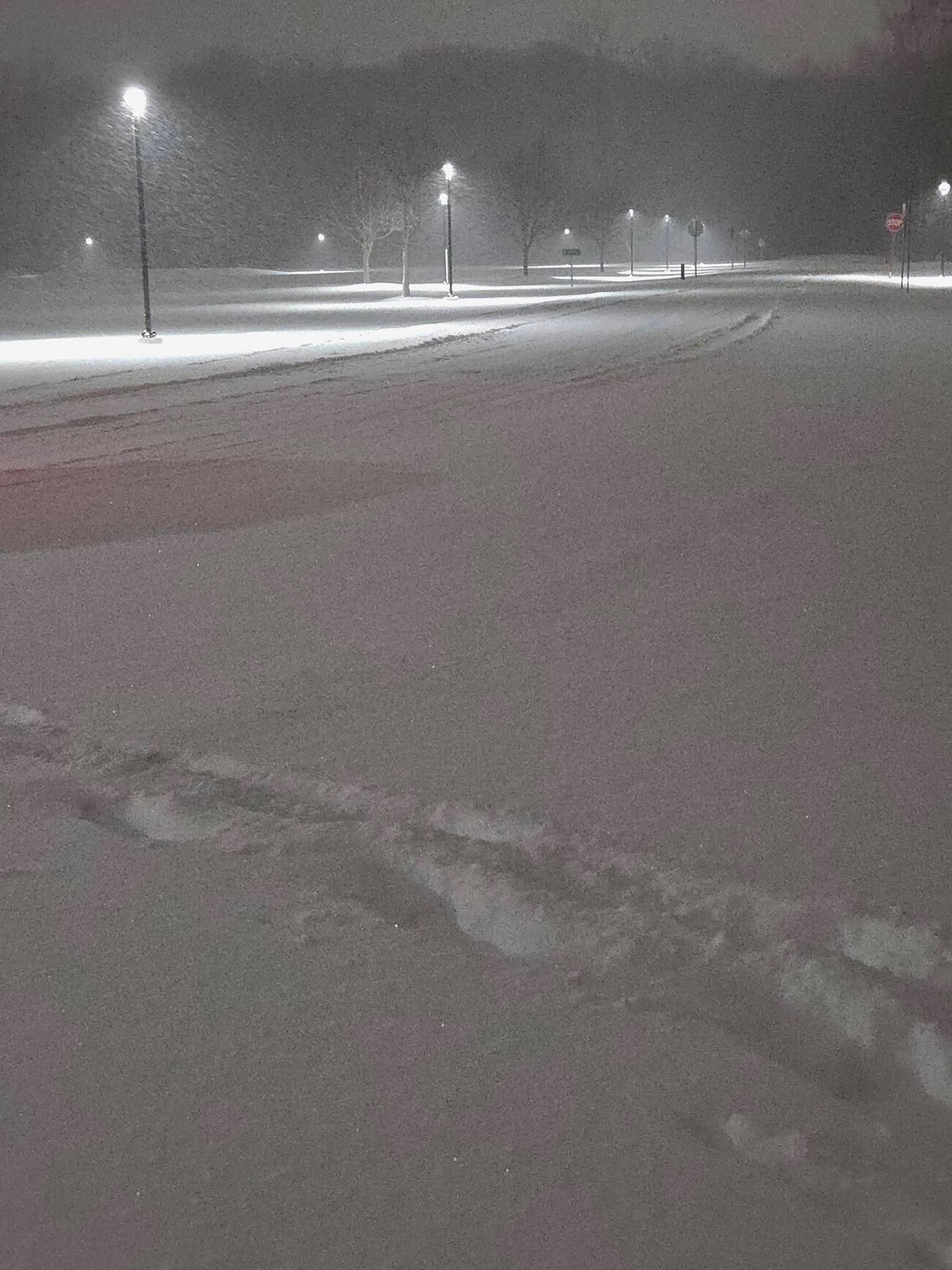
Woke up to a foot of snow on the ground. I went to bed with 11”. It seems like it snowed more than an inch overnight, but I’ll have to check the driveway later to see how much new snow the band put down after I went to bed. I think compaction might taking over already? That and drifting. -
Thread made , storm gone. Happens all the time. But yep gfs is a horrendous model. It did have support from the CMC.
-
First Legit Storm Potential of the Season Upon Us
The 4 Seasons replied to 40/70 Benchmark's topic in New England
AIFS 6Z bumped west -

First Legit Storm Potential of the Season Upon Us
MJO812 replied to 40/70 Benchmark's topic in New England
Gfs is the new nam. Horrendous model. -

First Legit Storm Potential of the Season Upon Us
Kitz Craver replied to 40/70 Benchmark's topic in New England
I’m still in the camp of an ENE event. Besides a rogue GFS OP run that seems like the most likely outcome. The lagging vort in the south could be the piece of interference that plagues this event and prevents a more region wide hit. -

First Legit Storm Potential of the Season Upon Us
Damage In Tolland replied to 40/70 Benchmark's topic in New England
You should be more interested in Saturday than MLK -

Winter 2025-26 Short Range Discussion
michsnowfreak replied to SchaumburgStormer's topic in Lakes/Ohio Valley
I honestly think this is the biggest bust I've ever seen. The forecast the night before yesterday called for a 30% chance of snow showers. Then yesterday morning it was a 50% chance. No accumulation mentioned in the grids byt the forecast discussion mentioned a dusting to less than an inch. Sounds like a general 5-7" in the Detroit area. Still lightly snowing.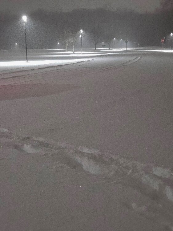
-
It’s time to retire the gfs.
-
Days ago the GFS had it going from the NC OTS. It was never coming close enough to the coast. The trough is wide and the storm is weak.
-

January 2026 regional war/obs/disco thread
powderfreak replied to Baroclinic Zone's topic in New England
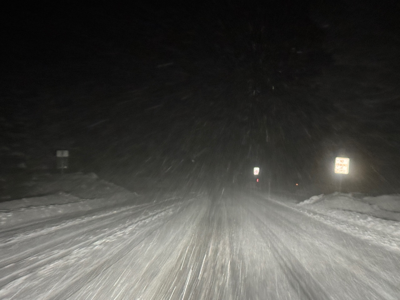
Flipped to snow and a sporty drive to work this morning… greasy, saw one vehicle in ditch.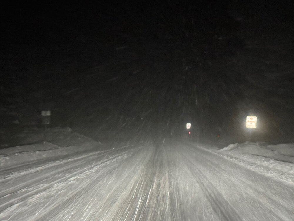
-
Oz Euro had an overrunning event that was a hit from PA border north next Saturday. I would expect changes there the way the models flip around. Of course, that could be gone at 12z too since the Euro isn't above mimicking the Gfs.
-
We are NOWHERE near the stage to worry about it as our main issue but BL temps and daytime timing are concerned. BL temps have modified with each run across most guidance for a few cycles now. Thankfully upper levels seem really good for the setup
-

January 2026 Medium/Long Range Discussion
SomeguyfromTakomaPark replied to snowfan's topic in Mid Atlantic
So what’s our next window? Jan 25 for a potential SWFE? -

Central PA Winter 25/26 Discussion and Obs
mahantango#1 replied to MAG5035's topic in Upstate New York/Pennsylvania
I thought you were getting a prius. -
Never get too invested when the GFS is all alone.
-
The only thing getting crushed is your dreams on this one.
-
I do think it ticks NW but those will be ticks on the EURO. Inside 3 days to see the euro which has been rock steady comparatively to other modeling just jump 200 miles west would be shocking m. I do think you see them meet in the middle somewhat
-
Think a dusting for many is still likely Saturday. Maybe someone gets 1”. The Ukie’s 3-4” area seems long gone.
-
Brutal hobby
-
Of course models back off any snow for this stuff too. Man it’s rough