All Activity
- Past hour
-

December 2025 regional war/obs/disco thread
Damage In Tolland replied to Torch Tiger's topic in New England
Icestorm conditions -
A little Hudson Bay ridge tries to form for Boxing Day. Seems like a change, we hope it’s right.
-

December 2025 Short/Medium Range Forecast Thread
Carvers Gap replied to John1122's topic in Tennessee Valley
If you created a median(and not mean) of temps after d10, it would look MUCH different than the mean on the GEFS. Roughly 5/30 crazy warm members are skewing the temps warm. That means ensembles are stuck in catchup mode. -

Mid to long range discussion- 2025
WinstonSalemArlington replied to wncsnow's topic in Southeastern States
-
December 2025 Short/Medium Range Forecast Thread
Carvers Gap replied to John1122's topic in Tennessee Valley
I really like the BOMM MJO which is shown on the CPC today. It rotates the MJO rapidly through the warm phases. It is sitting in phase 3/4 around NY and that isn't always a bad spot for snow. I don't see any model camping out in 6...maybe 48-72 house at the most. There is a bit of trend in modeling to dry out the MC if I heard JB correctly. The signal will still likely be weak. That means other drivers could take over the pattern. That also means the Aleutian Ridge is probably on the clock now. -
65-68 will be nice for the kids to get outside and play with their gifts. I’m looking forward to some hiking and fishing these next 10 days.
-

December 2025 regional war/obs/disco thread
Boston Bulldog replied to Torch Tiger's topic in New England
Tip was spot on about the shortwave grapeshot earlier this month wreaking havoc on the models. Different synoptic setup here, but still a relentless barrage of weakish vorticity packets passing through the region. I don’t think we’re near the final solutions for post-Christmas. That said, the late month signal should coalesce into its final form with more lead time than the medium range events did/will. -
Mt. Washburn view from Yellowstone NP. This particular webcam is mostly in the clouds these days, even with the general lack of snow. The other web cams show some non-snowy ground at the entrances to the park North Entrance- Electric peak
-
December 2025 Short/Medium Range Forecast Thread
Carvers Gap replied to John1122's topic in Tennessee Valley
The 12z AI-GFS has snow storm on NYE. The CMC is very close as well. -

December 2025 regional war/obs/disco thread
WxWatcher007 replied to Torch Tiger's topic in New England
My lord we pray it’s right. We’d get smoked here through the 26th. -
Sometimes I wonder if I died a few years ago and this is purgatory. Last week’s 5” snow event was just enough to keep me from questioning reality. I bet if I go back through my screen shots I can find this same ridge bridge pattern over the last 3-4 years. .
-
I know. So much PTSD since 2022, but we hope and pray it has the right idea.
-
December 2025 Short/Medium Range Forecast Thread
Carvers Gap replied to John1122's topic in Tennessee Valley
The 12z AIGFS is much different than the 12z GFS - night and day. I don't think we can completely rule out a path to continue warmer temps after the 29th...but with each run cold seems to be more likely. -
December 2025 regional war/obs/disco thread
Boston Bulldog replied to Torch Tiger's topic in New England
Model whiplash in full effect for the 26th. Euro was plowing this thing across James Bay recently -
December 2025 Short/Medium Range Forecast Thread
Carvers Gap replied to John1122's topic in Tennessee Valley
Take GaWx's analogs and run with them. Great information. 95-96(lite) sure looks reasonable to me. The 12z deterministic suite had great trends with the exception of the GFS. Ensembles are getting hugely skewed by just a few warm members - I bet...haven't looked for 12z, but they were overnight for sure. The NAO looks like a player. I kind of play by a couple of rules with the NAO. Sometimes modeling overdoes the NAO. Modeling will often try to break it down too quickly once it breaks down. With that ridge in the Aleutians....we take the NAO regardless of whether we don't get as cold as Europe. It could hook into the SE ridge for a time, but that is not a stable pattern with subtropical air being pumped into Greenland. A mature NAO pattern often yields big storms. Without the Pac, I wouldn't call that a big storm pattern, but we could back our way into some snow w/ that look. I think this is QBO and SSW(in concert) driven. This will be chaotic for a few more days - maybe very chaotic from run to run within the same model. Lots of cold air running around. We need one, good cutter. -
I did two ski trips out west that season. It was an all-timer at Alta/Snowbird and the snow was phenomenal. Needless to say, this better not be a repeat, but I’m skeptical of ensemble means that are 2-3 weeks away.
-
The good news is that highest on any 12Z model for Christmas in your area is only 65-68 and some are cooler. These are quite a bit lower than the 74ish record highs. ATL, otoh, may be pretty close to its 75 record.
-

2025-2026 ENSO
PhiEaglesfan712 replied to 40/70 Benchmark's topic in Weather Forecasting and Discussion
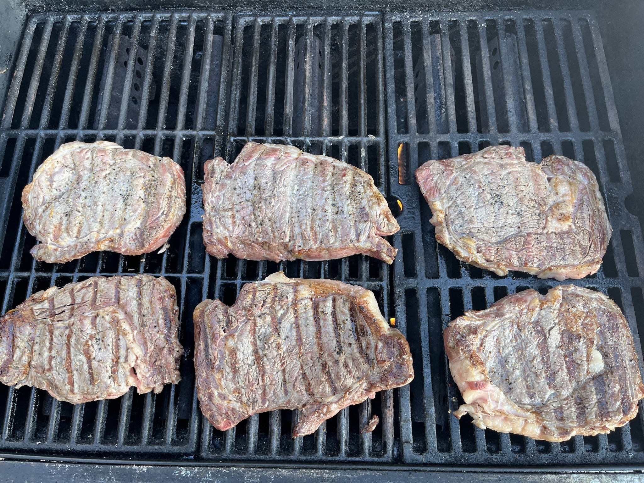
I was in North Carolina Christmas weekend in 2021, and it was really warm. I even barbecued the 26th, and have the pictures to prove it: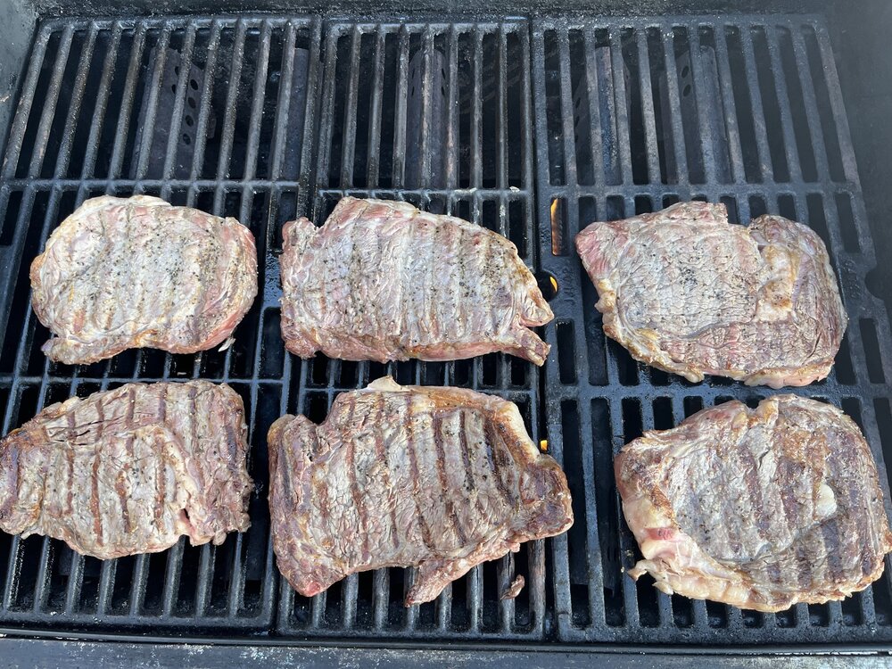
-
Boxing Day interesting on EPS too
-
That winter will always live in infamy here in NYC. Cold December, but no snow, and then a torch for rest of the season, with only like 3" of snow in February and a dusting in March. Northern new england through great lakes and out west had a great season though. Lots of record snows across Great Lakes, Upper Midwest, and out west.
-
I’m thankful and glad we had the 3 week stretch we did, it was great. But I think it’s perfectly normal to be a tad annoyed we’re headed into prime climo on a warm streak. You’re right though, it is what it is and it can’t be changed. I’m a big 4 seasons guy. I get salty less about the snow part and more of the me having to break out the shorts Christmas morning
-

Central PA Winter 25/26 Discussion and Obs
anotherman replied to MAG5035's topic in Upstate New York/Pennsylvania
CTP has the reaction time of a sloth. It’s really pathetic how overly conservative they are. -
That would wake up the dormant fruit buds on my apple trees if it persisted!!!!!!
-
Upper 50s-low 60s on the GFS. Euro low to mid 60s. CMC keeps us in the low 40s lol.
-

White Christmas Miracle? December 23-24th
radarman replied to Baroclinic Zone's topic in New England
Out here I'm kind of thinking a March like system on Tuesday. Cold column but warmish BL. Elevation gradient locally. Upside down with paste esp in the valley bottoms all stuck to trees by the end. Inflow of moisture channeling up the valley, favoring hills EOR. Low end advy event above 400' or so. CMC like but not exactly. We shall see.