All Activity
- Past hour
-

The Return of the 12/5 Snowstorm
NorthArlington101 replied to SnowenOutThere's topic in Mid Atlantic
It’s def a better result thru 60. Might not make it to us yet but there is at least snow making it to RIC -
Precip shield is north of 18z, but looks like it'll slide just south still so far
-
GFS looks a tad sharper with the flow out front for Friday so far. Nothing jumping out attm tho
-

Kick-Off '25-'26 Winter Storm Obs
AstronomyEnjoyer replied to 40/70 Benchmark's topic in New England
28.9°, SN, 7.2" total. Might end up with a few more tenths on the board, but I ain't checking till tomorrow. Hopefully those harsh December morning sun angles won't spoil any measurements. -
Lt Snow 34⁰
-
A good sleet storm is fun
-
 2.2 inches for the day 2.5 for the season.
 -

2025-2026 ENSO
40/70 Benchmark replied to 40/70 Benchmark's topic in Weather Forecasting and Discussion
I wasn't trying to be a dick ...but you're a pro...poll your clients RE whether or not they find value in identifying periods of elevated risk for severe weather. -
Interesting output. As light as the setup is, I’d think this is more of a snow or liquid situation than sleet but could make for a wintry scene as well. Just read that back and I’m so desperate that I’m ok with sleet. What a sicko!
-
2025-2026 ENSO
40/70 Benchmark replied to 40/70 Benchmark's topic in Weather Forecasting and Discussion
Sure, absolutely add what it does favor, but lets be honest...we are all looking for a blizzard, which is why he pointed out the limitations. I don't think there was an insinustion made that it couldn't support some more pedestrian threats. -

December 2025 Short/Medium Range Forecast Thread
Carvers Gap replied to John1122's topic in Tennessee Valley
The 0z 3kNAM and 0z RGEM show frozen precip over NE TN and SW VA over the weekend. Just something to keep an eye on.... -
ICON juiced up QPF too but too warm for most
-
RDPS is a sleet storm here and has more precip than other models.
.thumb.png.73ce5c2c9632f554d229520c00c3629b.png)
-
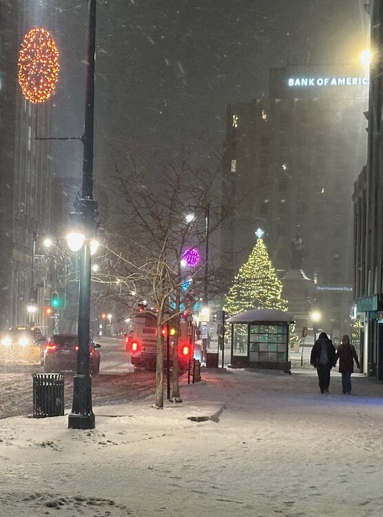
Festive in downtown Portland. Been snowing pretty much non stop since 9AM with not a ton to show for it but we’ll take it.
-
3.7" storm total for me, was snowing quite nicely this morning when I woke up with some bursts of lake effect at work during the afternoon. Definitely one of the better starts to the season in recent memory!
-

Central PA Fall Discussions and Obs
Blizzard of 93 replied to ChescoWx's topic in Upstate New York/Pennsylvania
After further review of the minute breakdown of MDT’s observations, approximately .35 of precip fell today as snow or snow/sleet mix. MDT showed 1 inch snow depth at 7 am on only .07 of precip, so there must have been decent ratios early on. It then proceeded to snow or snow/sleet mix there for over 3 more hours. As I mentioned, MDT recorded snow or snow/sleet mix from around 5:30 am until around 10:15 am before the full flip to freezing rain. Based on this & surrounding observations, hopefully we get a MDT official reading near @canderson prediction of 2.5” snow for the event. -

2025-2026 ENSO
brooklynwx99 replied to 40/70 Benchmark's topic in Weather Forecasting and Discussion
personally, I usually go about saying what the pattern may call for (small to mod events) rather than saying that it can't satisfy the upper echelon of events. like how cold is it? will it be dry? what's the mean storm track like? what he said wasn't incorrect... I agree with him. I just think there's more value added saying what you can get or the flavor of the pattern itself rather stating that you won't see a NESIS level event. you will be able to do that 90% of the time -
ICON completely whiffs even getting close Monday as it has the energy off Mexico retrograde further southwest.
-
I kinda was in the middle by getting grazed by both, hopefully the next one targets us. Still no complaints on Dec 2nd. My measurable snow this season: Nov 9- 2.5" Nov 27- 0.1" Nov 29/30- 3.1" Dec 1/2- 1.2"
-
27.1° -SN 8.5”
-
RDPS is significantly improved too (though not enough to help NOVA but Short Pump makes out like a bandit). It generally follows the positive aspect I've been highlighting which is the secondary bands of NS energy being modestly further west
-
quickly 100% snow
-
2025-2026 ENSO
40/70 Benchmark replied to 40/70 Benchmark's topic in Weather Forecasting and Discussion
I didn't say anyone called for one. The comment was made that the upcoming pattern is unfavorable for one, and you responded with semantics concerning climo. I don't agree that there is no valuein it...there is absolutely value in highlighting an enhanced risk, and this upcoming pattern isn't one...otherwise, WTH are we doing?? Isn't forecasting the goal? -

December 2025 regional war/obs/disco thread
WinterWolf replied to Torch Tiger's topic in New England
Cold is here bro…that’s the point. Decent Track is what we want now, cuz cold is available. -
50/50 r-s mix chelmsford.


.png.4519c9043c1baf0156eeaf160f63d91c.png)


