All Activity
- Past hour
-

Friday February 6 FROPA / WINDEX small event
Torch Tiger replied to HoarfrostHubb's topic in New England
... but sports. -
It’s zero or below at the moment…I don’t think anybody is expecting this to continue…it’s been quite the cold winter. I think what Snowcrazed and DIT are asking and saying is that the colder air comes back as Scott just said, and sure, it’s not gonna be like the last few weeks…that would truly be crazy, but it will be below average again for later February and early March.
-
We desperately need rain.
-

Friday February 6 FROPA / WINDEX small event
The 4 Seasons replied to HoarfrostHubb's topic in New England
who said that it was? -
 That winter almost ended me. Think we were 55” or so for snowfall and the picnic tables only had 153”. Lowest on record.
 -
Got down to 3.4 on my station.
-

Pittsburgh/Western PA WINTER ‘25/‘26
MikeB_01 replied to Burghblizz's topic in Upstate New York/Pennsylvania
44° on Tuesday. People are going to be out in shorts and t shirt . -
Pittsburgh/Western PA Banter & Complaint Thread
MikeB_01 replied to blackngoldrules's topic in Upstate New York/Pennsylvania
-2° last night. I’m getting tired of this brutal cold. . -

Friday February 6 FROPA / WINDEX small event
Great Snow 1717 replied to HoarfrostHubb's topic in New England
You seem to be an expert in "brain rot"... -
 It’s not even that cold
 -
IM technically northern Delaware, but im south of the fall line, about 3 miles south of I-95, so might as well call it southern Delaware in terms of snow.
-
I care to a point; but im also not knowledgeable enough to understand certain differences. I still think relying on climo is FAR and above more accurate than getting invested in fantasy range model runs. We focus way too much on that stuff IMO. I knew in order to get more storms this year, we'd need to go against climo, and things would need to be historic. I was hoping for that. Afterall we had the historic cold, so why not the historic snow. It didn't work out. So its back to climo. Where storms once every 10 years, and the only way I see snow is to chase (which I still plan to do before the season is over) If the guy is indeed doing that stuff on purpose I'd agree he is trolling.
-
He is in southern Delaware. This next threat was never good for him. He is very transparent.
-
Friday February 6 FROPA / WINDEX small event
Torch Tiger replied to HoarfrostHubb's topic in New England
btw SFZ is 430' ASL? and not at all representative of the Taunton area -
9 for the low at my spot in Fallston.
-
Friday February 6 FROPA / WINDEX small event
The 4 Seasons replied to HoarfrostHubb's topic in New England
in smithfield? im assuming you are right at the airport since thats all i have to go off of is your member location KSFZ -
We head towards bowling ball season.
-
Friday February 6 FROPA / WINDEX small event
Torch Tiger replied to HoarfrostHubb's topic in New England
the low IQ sports brain-rot who said "north billerica doesn't exist" -
wind also shifted out of the north for a few hours as well our cold weather direction..
-

Winter Storm Threat *Technical* Discussion. No Op Run PBP or Snow maps
psuhoffman replied to CAPE's topic in Mid Atlantic
Yea for the lowlands to “win” in a thermal regime like this you’d need a true coastal track. The problem is the wave is de-amplifying as it hits the Atlantic flow. So I don’t see how that scenario is on the table. Ideally you’d want a weak wave initially that amplifies on the coast but that’s not on the table. The win for areas NW of 95 is a stronger wave to the west that transfers just in time. Maxes dynamic cooling to take advantage of the marginal cold we have. The reason that could work is there isn’t some deep phased trough to our west this time. There is a split flow with the NS out the FCKN way for once and a cut off system traversing under the NS flow. So there isn’t that screaming SW wind ahead of the wave to destroy our mid level thermals. A marginal cold can work here but the issue for SE is 95 is that because of the flow deamplifying we need a stronger wave to our west to get anything and that will wreck the low level thermals for coastal areas. -
Friday February 6 FROPA / WINDEX small event
Torch Tiger replied to HoarfrostHubb's topic in New England
1.5" -
 Some of these weenies really make you want to cheer on +10 winters sometimes
 -
Agree on Southern DE, they aren’t going to cash in very often. But Northern Delaware has 16 inches of snow already. Average is 18 to 20. It’s been a great winter so far so I’m not understanding all the frustration.
-

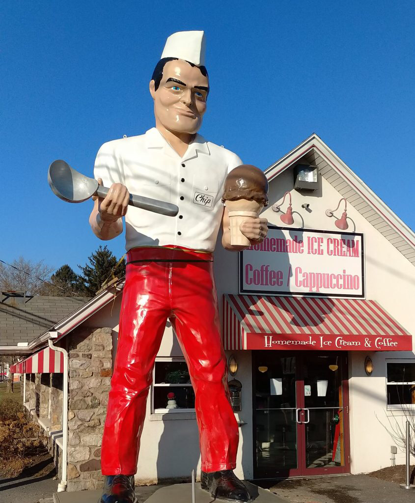
E PA/NJ/DE Winter 2025-26 Obs/Discussion
Birds~69 replied to LVblizzard's topic in Philadelphia Region
Healthy upright Chip… 8f
-
Set a new 'cool max' for the date at 20.6 degrees. Old mark was 28 degrees from 2010 and 1995. Low this morning was 6.5 degrees, no record.