All Activity
- Past hour
-

“Cory’s in NYC! Let’s HECS!” Feb. 22-24 Disco
moneypitmike replied to TheSnowman's topic in New England
.4 for me, .25 for my office. Missing by 200 miles is so much easier than missing by 75 -
15z improved.
-
We may well get pummeled with that if lucky. Even if not, euro was a great shift in our favor
-
Nice, though that includes 2 and possibly 3 different storms. Maybe some more high-ratio pow; average here is close to 10, highest winter (98-99) was 12.4 and to date we're at 14.3. Apt to retreat as normal temps climb.
-
As expected blizzard warnings expanding, clear as day that would need to be done
-

2/22-23 "There's no way..." Storm Part 2
DDweatherman replied to Maestrobjwa's topic in Mid Atlantic
The euro even gets us a taste of some wind it appears on 12z with a deeper bombing low at our lat…could be fun -
Probably a big storm with great snow and liquid output but one would see how each model even today would still have their biases still.
-
Upton increased amounts to 15-20 for NYC area.
-

2/22-23 "There's no way..." Storm Part 2
SomeguyfromTakomaPark replied to Maestrobjwa's topic in Mid Atlantic
You particularly were mentioning the good trends at 500 and were patient, now they’re showing up at the surface!! Nice job!! -

“Cory’s in NYC! Let’s HECS!” Feb. 22-24 Disco
CoastalWx replied to TheSnowman's topic in New England
I’d look more to see where the back bent WF is at 700 and 500 -

“Cory’s in NYC! Let’s HECS!” Feb. 22-24 Disco
40/70 Benchmark replied to TheSnowman's topic in New England
I porked us with like 11-12", while it was an all-timer 15 miles se...even west of us in ORH got well over a foot...subby city here. -
Not sure why EURO is so low on the amounts, don't think that will verify. In a few hours we can begin nowcasting against prior runs for location of low and especially paying attention to the shorter range models tonight.
-
Everytime i try to post a map it shows up as a tiny box
-
“Cory’s in NYC! Let’s HECS!” Feb. 22-24 Disco
40/70 Benchmark replied to TheSnowman's topic in New England
I don't see how there isn't insane fronto near that northern and western gradient... -

Central PA Winter 25/26 Discussion and Obs
Blizzard of 93 replied to MAG5035's topic in Upstate New York/Pennsylvania
I just brought my trash cans inside our fence. The combo of winds & plowed snow could have sent them into the river by Monday, lol! -
LOVING the IVT band over Loudoun
-

2/22-23 "There's no way..." Storm Part 2
BTRWx's Thanks Giving replied to Maestrobjwa's topic in Mid Atlantic
Bob Ryan shared a map that the NBM has D.C. over 9"! -
Ok, time to up those accumulations - the King is on board! Best Euro run yet.
-
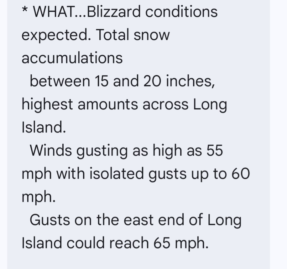
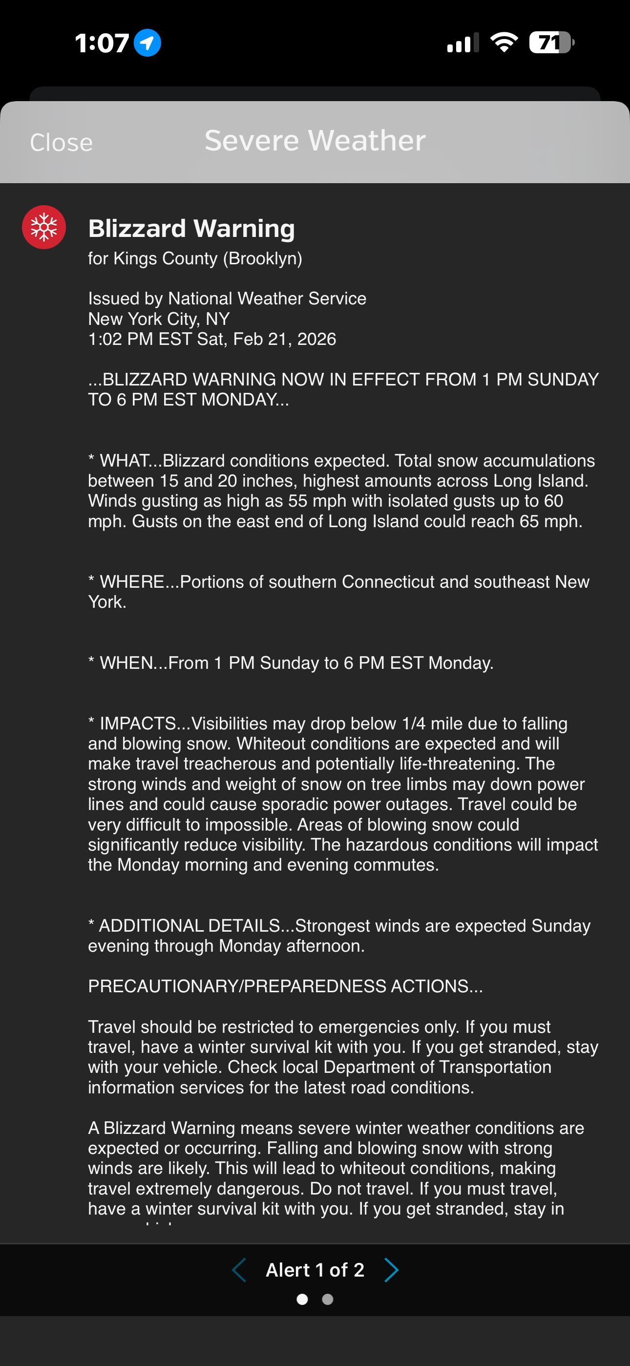
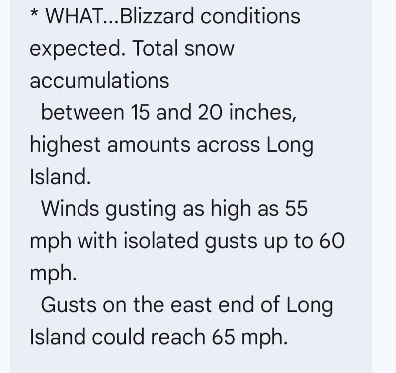
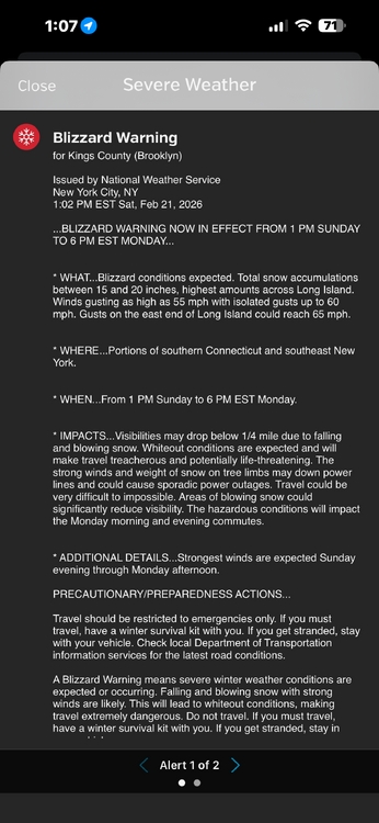
URGENT - WINTER WEATHER MESSAGE National Weather Service New York NY 102 PM EST Sat Feb 21 2026 CTZ009>012-NYZ071>075-078>081-176>179-220800- /O.EXT.KOKX.BZ.W.0001.260222T1800Z-260223T2300Z/ Southern Fairfield-Southern New Haven-Southern Middlesex-Southern New London-Southern Westchester-New York (Manhattan)-Bronx- Richmond (Staten Island)-Kings (Brooklyn)-Northwest Suffolk- Northeast Suffolk-Southwest Suffolk-Southeast Suffolk-Northern Queens-Northern Nassau-Southern Queens-Southern Nassau- 102 PM EST Sat Feb 21 2026 ...BLIZZARD WARNING NOW IN EFFECT FROM 1 PM SUNDAY TO 6 PM EST MONDAY... * WHAT...Blizzard conditions expected. Total snow accumulations between 15 and 20 inches, highest amounts across Long Island. Winds gusting as high as 55 mph with isolated gusts up to 60 mph. Gusts on the east end of Long Island could reach 65 mph. * WHERE...Portions of southern Connecticut and southeast New York. * WHEN...From 1 PM Sunday to 6 PM EST Monday. * IMPACTS...Visibilities may drop below 1/4 mile due to falling and blowing snow. Whiteout conditions are expected and will make travel treacherous and potentially life-threatening. The strong winds and weight of snow on tree limbs may down power lines and could cause sporadic power outages. Travel could be very difficult to impossible. Areas of blowing snow could significantly reduce visibility. The hazardous conditions will impact the Monday morning and evening commutes. * ADDITIONAL DETAILS...Strongest winds are expected Sunday evening through Monday afternoon.
-
I think 16 inches would be a fair 50-50 over under.
-
-
Its not so much southeast as the members are congealing around a more cohesive mean. You lost some of the crazier members, and there werent a ton of SE members to lose, so it results in a look thats slightly SE
-

Richmond Metro/Hampton Roads Area Discussion
wasnow215 replied to RIC Airport's topic in Mid Atlantic
After dark with rates could stick to some roads or at least slushy -
Can someone remind me what the deal is with January 2022?
-

2/22-23 "There's no way..." Storm Part 2
Imgoinhungry replied to Maestrobjwa's topic in Mid Atlantic
Just got home from my daughters bball game. On the euro, how much precipitation after 4 or 5pm on sunday? Dont think we will see much stickage until then? .