All Activity
- Past hour
-

December 2025 regional war/obs/disco thread
Sey-Mour Snow replied to Torch Tiger's topic in New England
Idk about several hundred miles lol we are talking about New England not Montreal -
with the GFS and CMC looking more amped and the ECMWF and AIFS largely holding serve, I think we're trending towards the first plowable snowfall of the year for the metro. let's give it a couple more days, but things are looking good
-
Whoa!
-

December 2025 regional war/obs/disco thread
SouthCoastMA replied to Torch Tiger's topic in New England
Yeah I'd take that Euro run. solid 2-4"+ -

December 2025 regional war/obs/disco thread
mahk_webstah replied to Torch Tiger's topic in New England
If this actually does develop into something plowable, we have to give Ray credit for his viewpoint, which has remained pretty steady -

Winter 2025-26 Short Range Discussion
KeenerWx replied to SchaumburgStormer's topic in Lakes/Ohio Valley
No love in that heart. -
This one is a little different than the previous waves we have tracked this year with the PV lobe, some phasing, etc. Small adjustments in the orientation and sharpness can change the on surface outcome (for better or worse). Lets dig that thing as far west as possible.
-
5 years $155M per sources
-
Had an hour period of non-accumulating snow globe action. Always nice to see daytime snow here west of the lakes.
-
The Os signed Alonso??!! That's a big boy grown up team signing in free agency.
-

December 2025 regional war/obs/disco thread
weatherwiz replied to Torch Tiger's topic in New England
Would be nice and I hope that happens but all of these "nice trends" are going to have to happen upwards of several hundred miles farther west. Not very likely to get that at this stage -

Snowstorm potential 12/14/2025
CPcantmeasuresnow replied to WeatherGeek2025's topic in New York City Metro
I think the banner of snowstorm potential is a little over the top. I'm rooting for it of course, but I wouldn't call a 2 to 4 inch possibility, and that's if everything works out, snowstorm potential. Maybe something like light to moderate event possibility would be a better banner. -
Sign me up for 0.3 of frozen
-
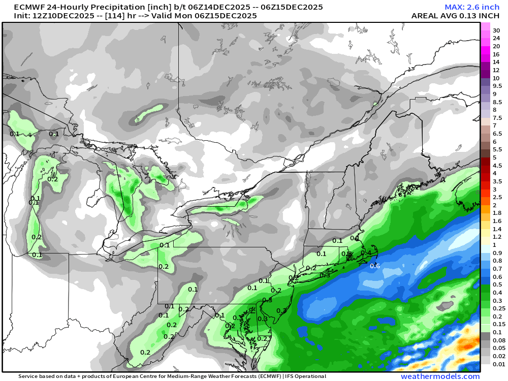
Euro QPF….youre prob bumping that a bit NW on these types of setups. You get good fronto on NW side of that thermal gradient.
-
Pretty much held qpf wise here not bad. .28” should produce 3-4”. Now will we get that here idk but here’s hoping.
-
Low end warning event for everyone north of DC.
-
Underperforming a bit here. Right around an inch so far. An inch yesterday too in unrelated upslope.
-

December 2025 Short/Medium Range Forecast Thread
Carvers Gap replied to John1122's topic in Tennessee Valley
The 12z Euro has actual temps in the mid to upper teens by Sunday afternoon with windchills below zero along the northern border of Tenn. -

December 2025 regional war/obs/disco thread
Kitz Craver replied to Torch Tiger's topic in New England
Nice trends I guess. Not sold on anything of significance happening however. -

Snowstorm potential 12/14/2025
WeatherGeek2025 replied to WeatherGeek2025's topic in New York City Metro
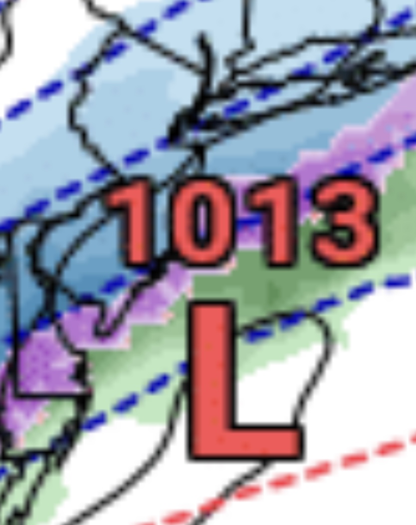
Euro
-
Going to assume 20-30:1 ratios based on my last snowfall
-
Not sure if it’s the coastal per se or just good dynamics (jet entrance region and frontogenesis). They’re all linked of course. Maybe. Seems like Sunday is the stronger wave. @SnowenOutTherehas the hot hand. I did the December 2nd rain thread
-

December 2025 regional war/obs/disco thread
WxWatcher007 replied to Torch Tiger's topic in New England
I’ve been unwavering in thinking this is a measurable event for most of SNE. -
December 2025 regional war/obs/disco thread
Kitz Craver replied to Torch Tiger's topic in New England
You forgot the word of the month, “trying” -
December 2025 regional war/obs/disco thread
SouthCoastMA replied to Torch Tiger's topic in New England
The current setup is actually ideal for my area so you know it will be wrong. Earlier digging would result in liquid here.