All Activity
- Past hour
-
I never heard of the authors/site, but 40/70 was pretty critical of them over in the New England forums winter thread.
-
 http://menon36.com/# Buy Tadalafil 20mg
 -
Yes I posted a Tweet in another thread but cannot find it. The Canadian has definitely seen an upgrade in its 500mb verification scores of late.
-

Septorcher 2026 Discussion - Endless Summer
Baroclinic Zone replied to Damage In Tolland's topic in New England
Topped out at 80F. Felt warm comparatively to what we just had. -
Today seems to be one of the bigger monsoon (southwesterly) rainstorms for Arizona, associated with the trough on the West Coast.
-

2026-2027 Fall/Winter Mountain Thread
Met1985 replied to BlueRidgeFolklore's topic in Southeastern States
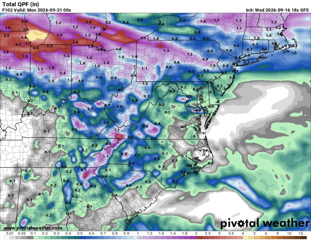
Better rain chances. Sent from my SM-G998U using Tapatalk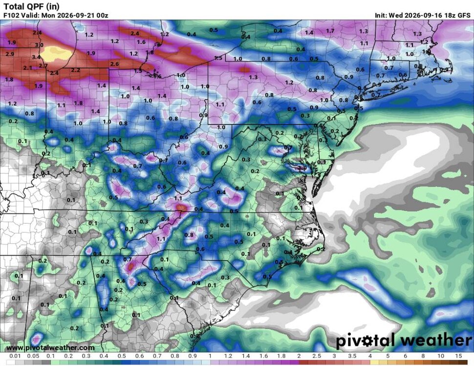
-

September 2026 Medium/Long Range
Stormchaserchuck1 replied to JenkinsJinkies's topic in Mid Atlantic
^Look at all that water. Good sign for the Winter probably if it gets cold enough. -

Septorcher 2026 Discussion - Endless Summer
WxWatcher007 replied to Damage In Tolland's topic in New England
The GFS is useless, but yeah, that’s basics my peak season forecast. I’m out on a limb with 3 H 1 MH but I think the windows will open. First flakes at SLK? We kicked things off on 10/31 last year and were off to the races not too long after. - Today
-
summer is over no more hot weather..
-
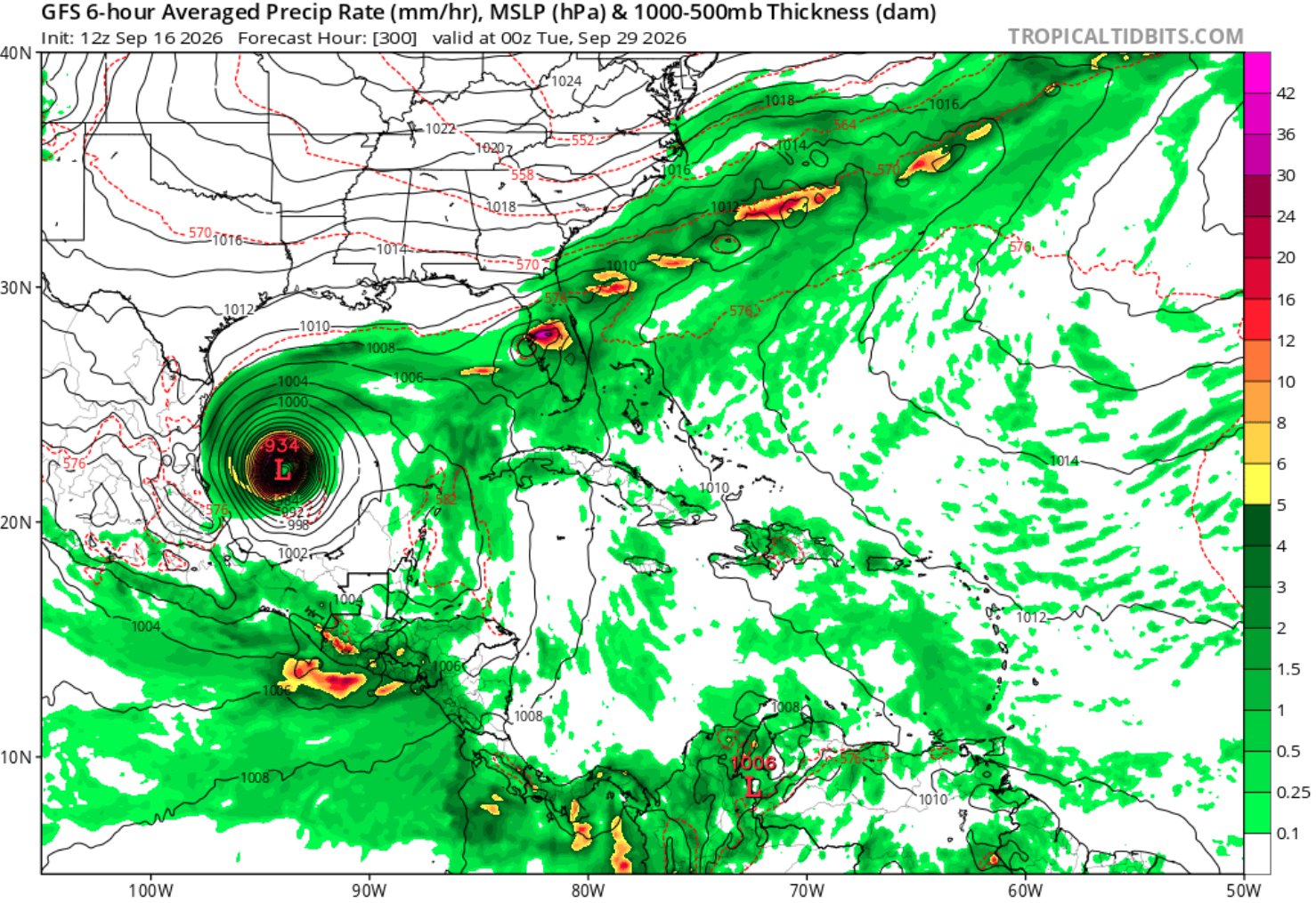
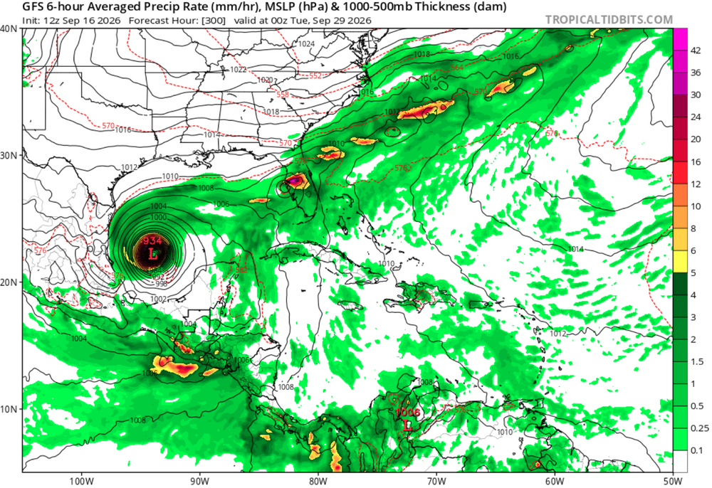
The 12z gfs also has a major hurricane spin around in the BoC for a week before heading north toward Texas...
-
Sildenafil 100mg price: Belvion - Buy Viagra online cheap
-
Generic Tadalafil 20mg price [url=https://menon36.shop/#]MenOn36[/url] Buy Cialis online
-
2026-2027 Fall/Winter Mountain Thread
Met1985 replied to BlueRidgeFolklore's topic in Southeastern States
Euro looks really nice in the extended range but we've seen this before. -
https://www.severe-weather.eu/long-range-2/new-polar-vortex-emerging-winter-2026-2027-disruption-forecast-stratospheric-warming-trend-united-states-canada-europe-fa/
-

Septorcher 2026 Discussion - Endless Summer
ineedsnow replied to Damage In Tolland's topic in New England
Its a start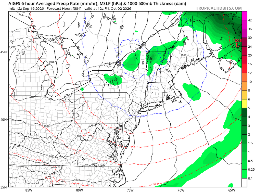
-
If the AO is persistently negative, it seems to correlate to at least some -NAO episodes, esp in a Nino. Just going on memory/intuition. They do seem to jibe more times than not. Ofc 2009-10 is the benchmark, but this Nino is not going to be that. Just need a 2 week period where everything aligns like Jan 2016.
-
I recently pulled the seasonal stats for Chicago during past strong and super El Niño episodes. Dating back to 1950, there have been seven seasons that have featured an El Niño of strong to super magnitude. To shed a full light on the situation, I pulled stats both met winter (DJF) and the full October–April snowfall season. The clearest signal is snowfall. Every one of the seven strong/super El Niño seasons featured below normal snowfall during both the DJF and October–April periods. In several of those seasons, snowfall was significantly below average. When it comes to precip, it's more of a mixed signal. Both the DJF and October–April periods feature a mix of very wet, near-average and dry seasons. Temps lean warmer, particularly during met winter. DJF temps ranged from slightly below normal to well above normal, with warmer outcomes more common. During the longer span October–April periods there is more variability, with most seasons within +/- 1° of average, while a couple were well above average. ...Chicago Strong/Super El Nino Seasons... October-April Average Temp: 38.4° October-April Average Snowfall: 38.4" October-April Average Precipitation: 18.12" Met Winter (DJF) Average Temperature: 28.2° Met Winter (DJF) Average Snowfall: 29.6" Met Winter (DJF) Average Precipitation: 6.07" ............................................................. 2015-16 Season (Super El Nino) Oct-April Avg Temp: 40.6° (+2.2°) Oct-April Snowfall: 31.2" (-7.2") Oct-April Precip: 19.80" (+1.68") DJF Avg Temp: 31.4° (+3.2°) DJF Snowfall: 16.3" (-13.3") DJF Precip: 6.94" (+0.87") 1997-98 Season (Super El Nino) Oct-April Avg Temp: 39.7° (+1.3°) Oct-April Snowfall: 10.4" (-28.0") Oct-April Precip: 17.93" (-0.19") DJF Avg Temp: 33.2° (+5.0°) DJF Snowfall: 7.1" (-22.5") DJF Precip: 5.87" (-0.20") 1991-92 Season (Super El Nino) Oct-April Avg Temp: 37.6° (-0.8°) Oct-April Snowfall: 28.4" (-10.0") Oct-April Precip: 19.80" (+1.68") DJF Avg Temp: 30.5° (+2.3°) DJF Snowfall: 14.5" (-15.1") DJF Precip: 3.97" (-2.10") 1982-83 Season (Record Super El Nino) Oct-April Avg Temp: 38.0° (-0.4°) Oct-April Snowfall: 26.6" (-11.8") Oct-April Precip: 31.36" (+13.24") DJF Avg Temp: 30.9° (+2.7°) DJF Snowfall: 16.0" (-13.6") DJF Precip: 11.28" (+5.21") 1972-73 Season (Strong El Nino) Oct-April Avg Temp: 37.9° (-0.5°) Oct-April Snowfall: 32.9" (-5.5") Oct-April Precip: 24.38" (+6.26") DJF Avg Temp: 28.0° (-0.2°) DJF Snowfall: 20.0" (-9.6") DJF Precip: 7.52" (+1.45") 1965-66 Season (Strong El Nino) Oct-April Avg Temp: 38.1° (-0.3°) Oct-April Snowfall: 24.7" (-13.7") Oct-April Precip: 17.19" (-0.93") DJF Avg Temp: 27.5° (-0.7°) DJF Snowfall: 20.9" (-8.7") DJF Precip: 7.32" (+1.25") 1957-58 Season (Strong El Nino) Oct-April Avg Temp: 37.2° (-1.2°) Oct-April Snowfall: 20.0" (-18.4") Oct-April Precip: 11.24" (-6.88") DJF Avg Temp: 26.9° (+1.3°) DJF Snowfall: 16.2" (-13.4") DJF Precip: 3.40" (-2.67")
-

2026-2027 Record-breaking El Nino
michsnowfreak replied to Stormchaserchuck1's topic in Weather Forecasting and Discussion
Any idea the strength of the 1925-26 Nino? -
Im noticing the usual early color popping here. Im going to Traverse City Oct 20-22. Hoping its perfect up there then. They usually change later on the lakeshore than inland, so their color peak is usually around ours as opposed to more inland places like Gaylord which peak at least 2 weeks earlier.
-
On the extended pattern: I had someone ask me if it wasn’t a bit early to be putting out fall decorations with it being this hot. My response: “If you’re waiting on fall weather to do fall things, it’ll be time to decorate for Christmas.” Next week is looking a little better at least. Not quite as stifling hot and maybe some rain to help.
-
Sunday looking like a washout but next week drier overall
-
Yeah...the threads that don't have COC vs torch in them **Spoiler Alert**
-
I vaguely remember seeing that somewhere too
-
I'm heading west to Yosemite tomorrow through Tuesday coming home to 8" of rain could be fun. GFS is probably right though
-
Basically. I actually saw some post recently saying GGEM now has highest verification scores!? But I think it’s gonna rain…