All Activity
- Past hour
-

Monday, August 31 - Thursday, September 3, 2026 Convective Episodes
WxWatcher007 replied to weatherwiz's topic in New England
Nearly 1.5” here (CT) today. -
 Its 0.0 month lead forecasts are so bad that it will probably hold that look up until Dec lol
 -
Ridiculous.
-
Central PA Summer 2026 Discussion/Obs Thread
paweather5 replied to Voyager's topic in Upstate New York/Pennsylvania
Another one just got hit and is working fire off of Lewisberry at school house Ln. -

2026-2027 Record-breaking El Nino
40/70 Benchmark replied to Stormchaserchuck1's topic in Weather Forecasting and Discussion
Often times when seasonal guidance misses, it never caves....it just misses. -
High of 95.5 and as sultry out there right now as it’s been in many weeks. Takes me back to 1980 start Sept
-
 buy drugs online and online pharmacy no prescription needed express scripts mail order pharmacy https://www.google.lk/url?q=https://quickph.com top-rated online pharmaciesand https://rightcoachforme.com/author/ykehxdipnu/ online drugs order [url=https://toolbarqueries.google.be/url?q=https://quickph.com]online pharmacies[/url] no prescription needed pharmacyand [url=https://kamayegaindia.com/user/urnosyfpjh/?um_action=edit]medstore online pharmacy[/url] no script pharmacy
 -
Even when it is using the cooler 1981-2010 instead of the warmer 1991-2020 for climo?
-
No way ill be down at the shore!
-
if my math is right, that's -10 runs in a normal ballpark.
-
3 runs through 15 inning
-
Didn't realize Coors field was such a pitchers park lol
-
This map isn't accurate, the AI model the CanSIPS was fed into has no basis to forecast snowfall as it's just an image model tool (all it knows is the images it was trained on). Here's an accurate version. https://x.com/wallcloud/status/2094933250602893475
-
looks like the Nats from earlier in the season are back at least for the past few games. Won't make the playoffs - but if the Lerners don't give Toboni and Butera the $$ and freedom to actually get an MLB bullpen over the offseason and maybe sign some other talent, then it's torches and pitchforks time.
-
.thumb.jpg.6a4895b2a43f87359e4e7d04a6fa0d14.jpg)
Central PA Summer 2026 Discussion/Obs Thread
Yardstickgozinya replied to Voyager's topic in Upstate New York/Pennsylvania
Several close ground strokes in my neighborhood home down the street is hit and on fire. -
DCA at 88/73 at 10pm. Could get an 80+ low lol.
-
I was surprised how hot I was out there even briefly walking, a blister. I suppose my body isn't used to it again as I haven't needed the AC for nearly 3 weeks! TWN hitting hard on the severe threat here in SON tomorrow, the most sig of the summer by far (of course, its now Sept). For the first I've seen they even put out a updraft helicity map from an unknown output: https://www.theweathernetwork.com/en/news/weather/forecasts/damaging-winds-severe-storms-to-hit-southern-ontario-midweek
-
warm evening for September, 80s at 10pm
-
Hi of 93 ...Already beating the hottest August day (91)
-

2026-2027 Record-breaking El Nino
michsnowfreak replied to Stormchaserchuck1's topic in Weather Forecasting and Discussion
People were saying canadian would change by September. Well. Its held steady. Not saying its right, but it has not caved to a mild winter. - Today
-

E PA/NJ/DE Summer 2026 Obs/Discussion
MGorse replied to PhiEaglesfan712's topic in Philadelphia Region
That is just one warning. I will add that several warnings have verified with good lead times. https://mesonet.agron.iastate.edu/cow/?syear=2026&smonth=9&sday=1&shour=12&eyear=2026&emonth=9&eday=2&ehour=12&wfo=PHI&hail=1.00&lsrbuffer=15&warnbuffer=0.01&wind=58&wtype[]=TO&wtype[]=SV<ype[]=T<ype[]=D<ype[]=H<ype[]=G -
August total rainfall 5.00" . Highest temp 91..... Lowest 58
-

Central PA Summer 2026 Discussion/Obs Thread
canderson replied to Voyager's topic in Upstate New York/Pennsylvania
Beautiful loud, rattling thunder. A nice rain. -
-
E PA/NJ/DE Summer 2026 Obs/Discussion
SouthernNJ replied to PhiEaglesfan712's topic in Philadelphia Region
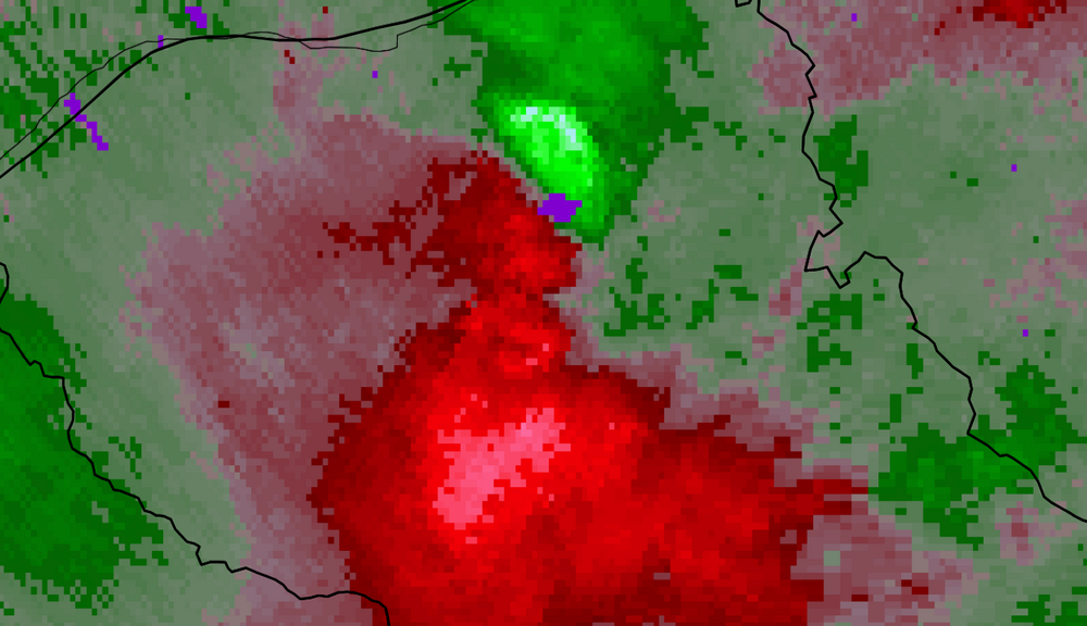
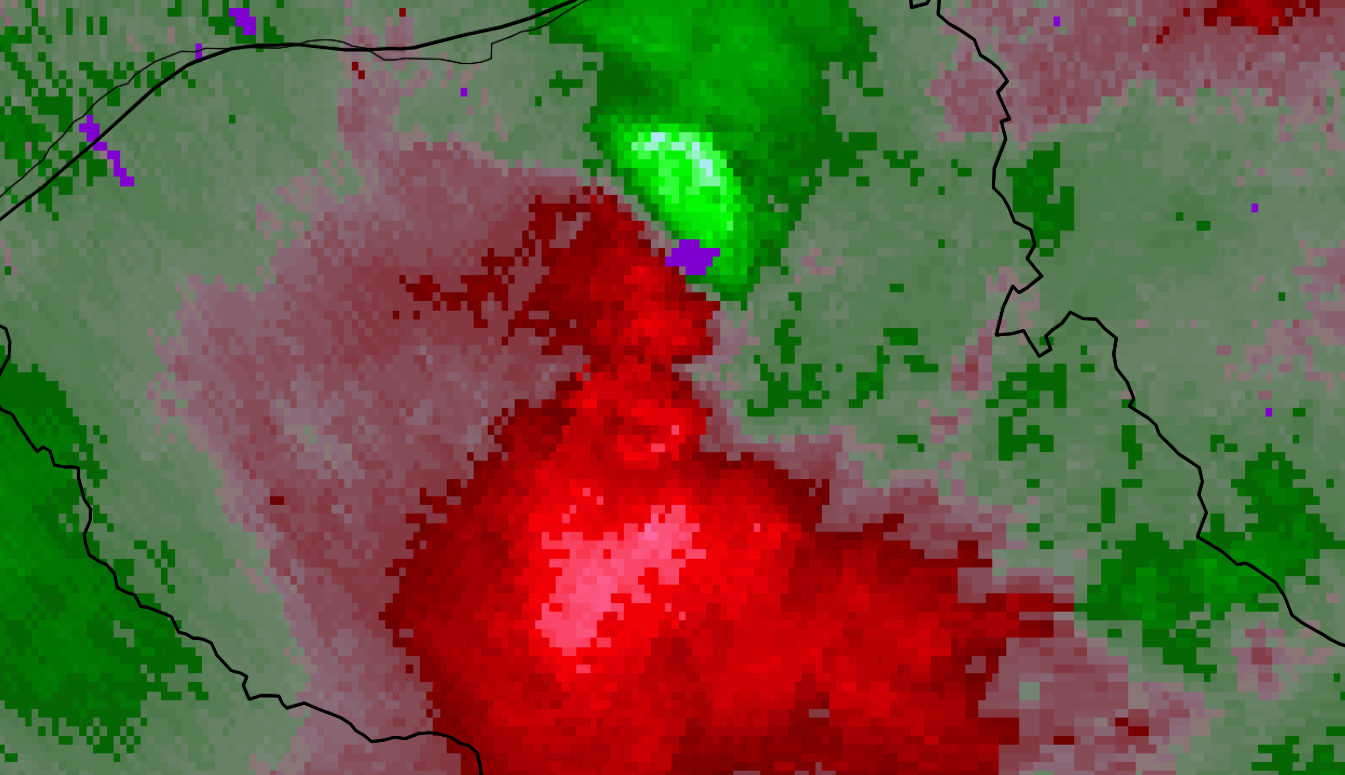
Reports indicate a substantial number of downed trees in Mantua and Harrison townships. The residents there did not have much indication of this approaching, as it occurred behind the main line of storms. A warning was only issued as the damaging winds were in progress. TPHL had a good view of the downbursts at 8:58 PM.