SouthernNJ
-
Posts
1,261 -
Joined
-
Last visited





-
E PA/NJ/DE Summer 2026 Obs/Discussion
SouthernNJ replied to PhiEaglesfan712's topic in Philadelphia Region
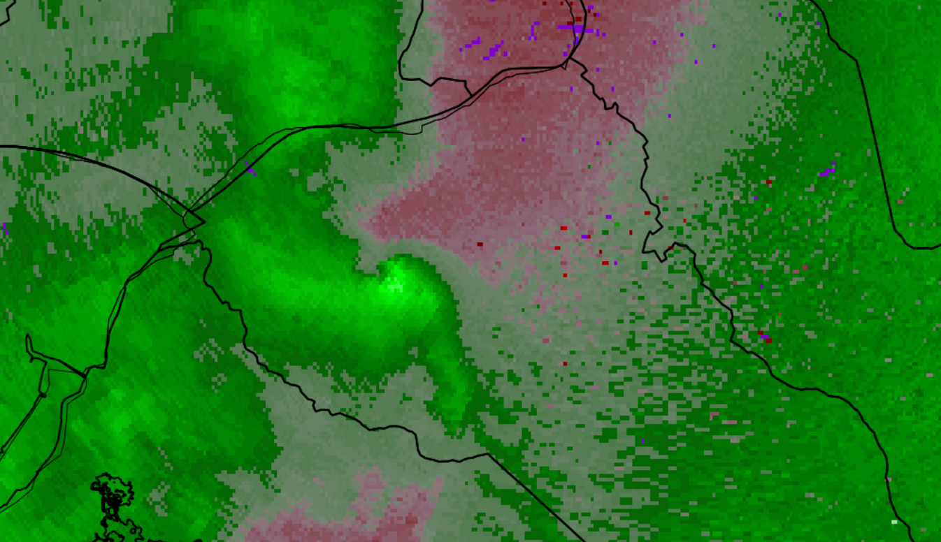
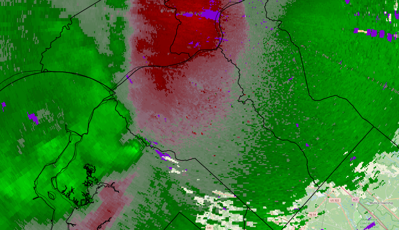
The best radar signatures for a tornado in our CWA would have been the QLCS moving through Barclay, Queen Anne's county in Maryland into Hartly of Kent county in Delaware. Then, the QLCS merged with a storm in front of it that produced a sudden, intense wind signature from Wyoming into Dover, which apparently became a tornado right over the city according to NWS reporting of a TDS. -
E PA/NJ/DE Summer 2026 Obs/Discussion
SouthernNJ replied to PhiEaglesfan712's topic in Philadelphia Region
Outflow has weakened the northern line segment, and strengthened the storms on the Eastern Shore into Central Delaware, however isolated strong winds are still possible east of Wilmington.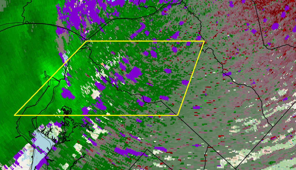
-
E PA/NJ/DE Summer 2026 Obs/Discussion
SouthernNJ replied to PhiEaglesfan712's topic in Philadelphia Region
An early line approaches from the west, some strong winds are possible due to the environment out ahead of it.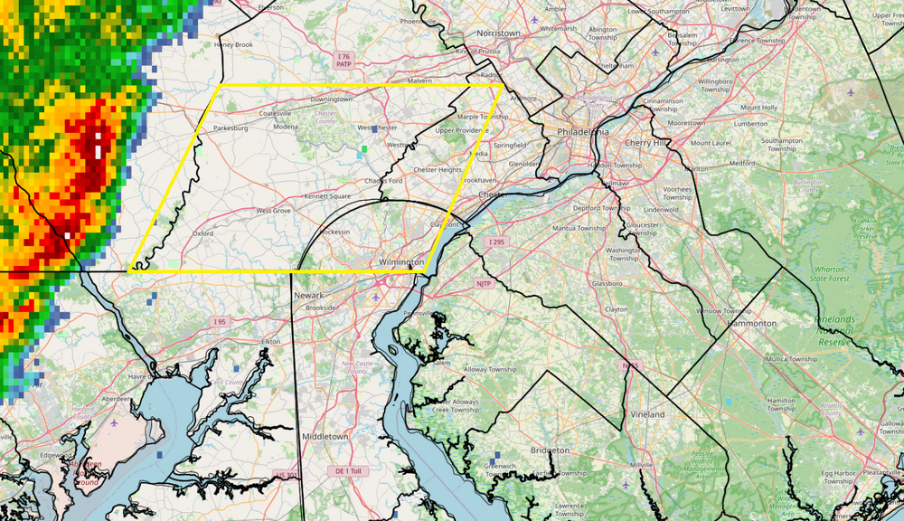
-
E PA/NJ/DE Summer 2026 Obs/Discussion
SouthernNJ replied to PhiEaglesfan712's topic in Philadelphia Region
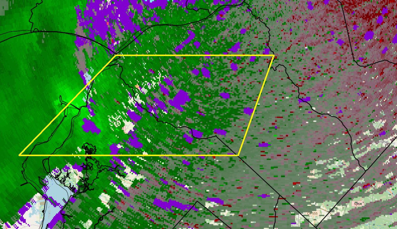
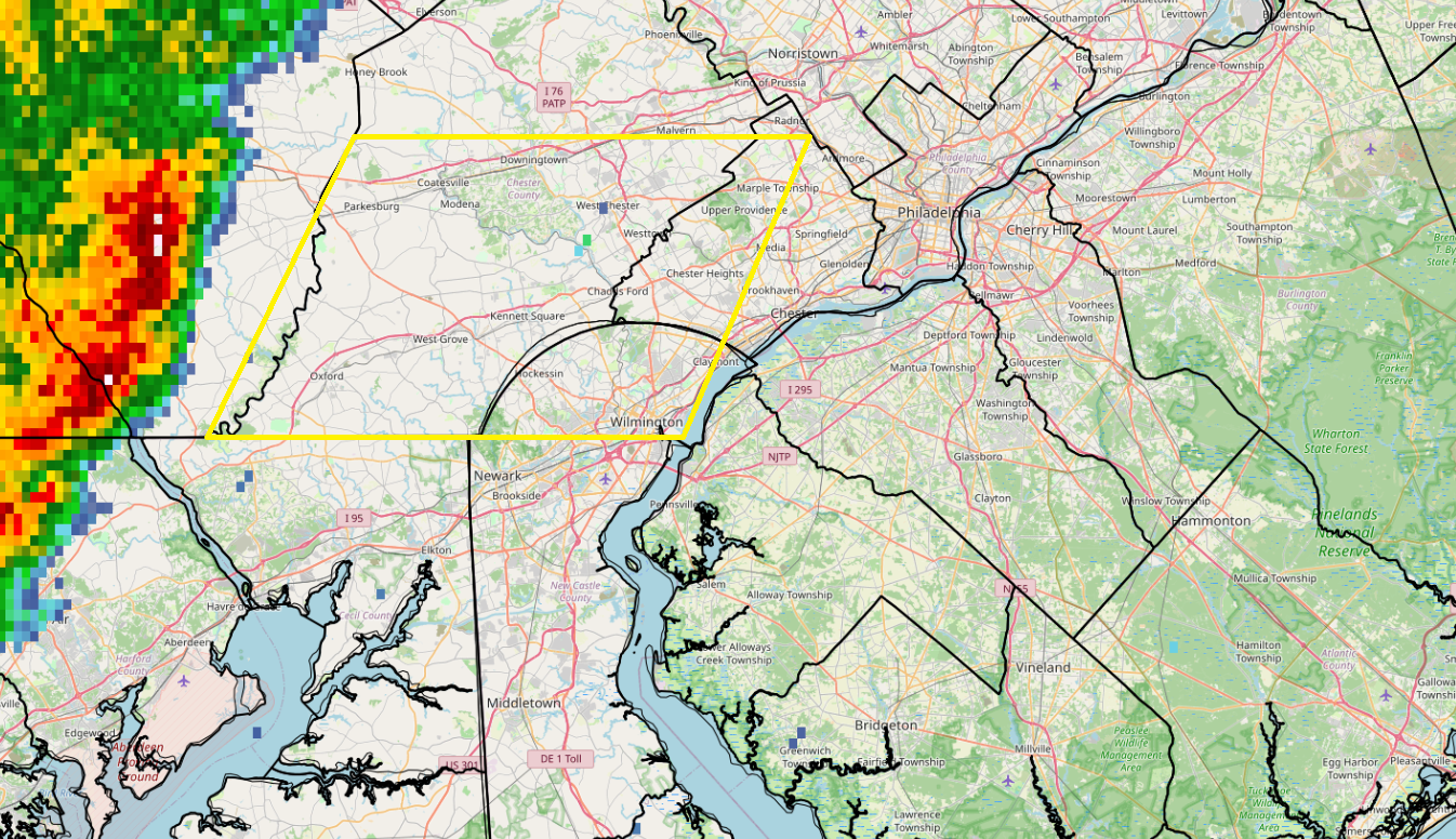
The line of thunderstorms is bowing forward moving into the area. Some circulations are appearing as well, including near Avondale/Kennett Square. This activity is moving northeast and will enter Delaware and Montgomery counties before reaching Philadelphia. TPHL 6:33 PM: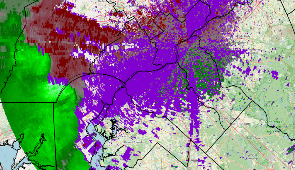
-
E PA/NJ/DE Summer 2026 Obs/Discussion
SouthernNJ replied to PhiEaglesfan712's topic in Philadelphia Region
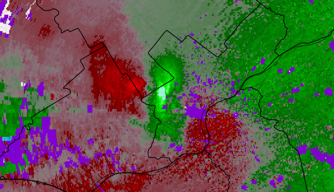
TPHL over Cheltenham/Fox Chase at 3:11 PM. Damaging winds possible.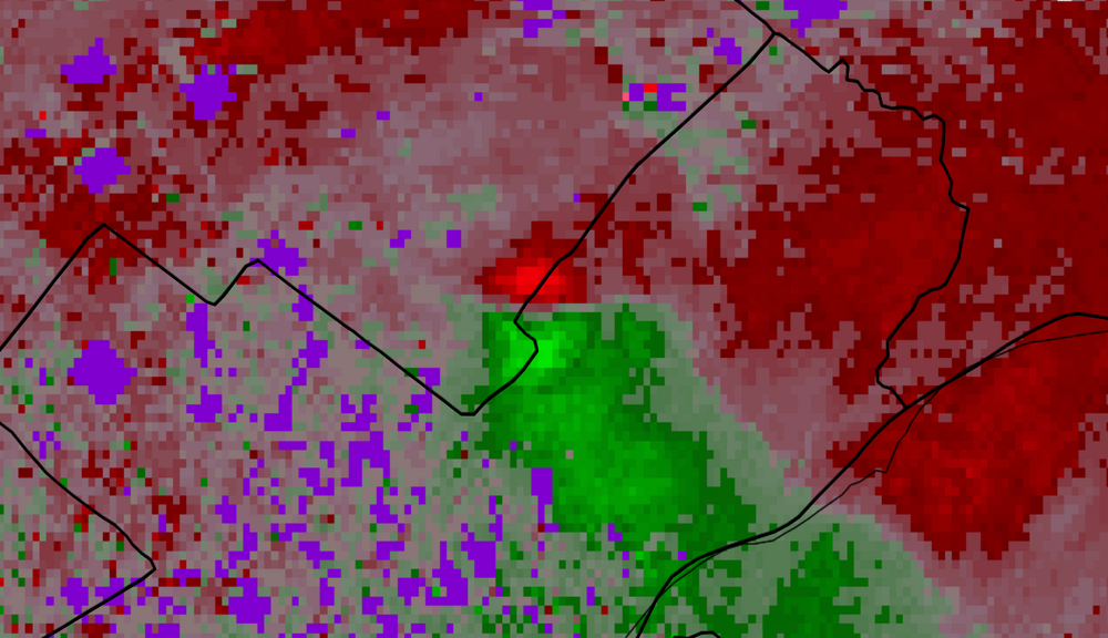
-
E PA/NJ/DE Summer 2026 Obs/Discussion
SouthernNJ replied to PhiEaglesfan712's topic in Philadelphia Region
Quarryville PA storm spinning aloft, will move toward Atglen in Chester county. -
E PA/NJ/DE Summer 2026 Obs/Discussion
SouthernNJ replied to PhiEaglesfan712's topic in Philadelphia Region
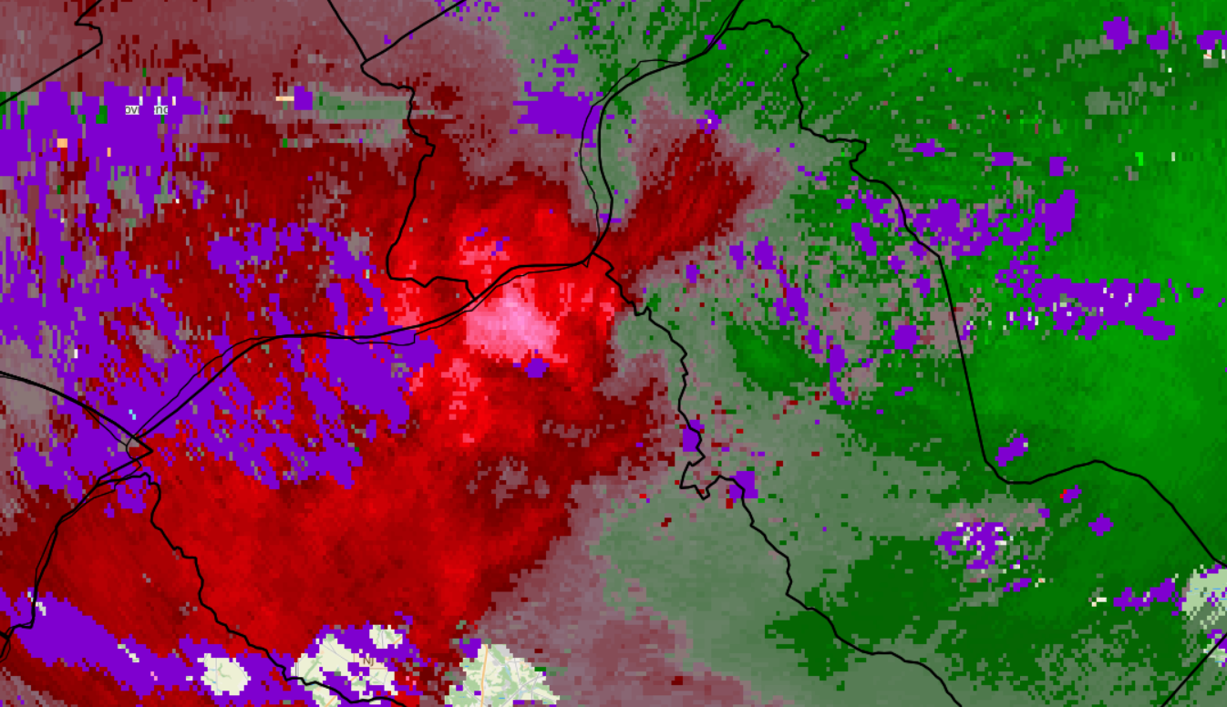
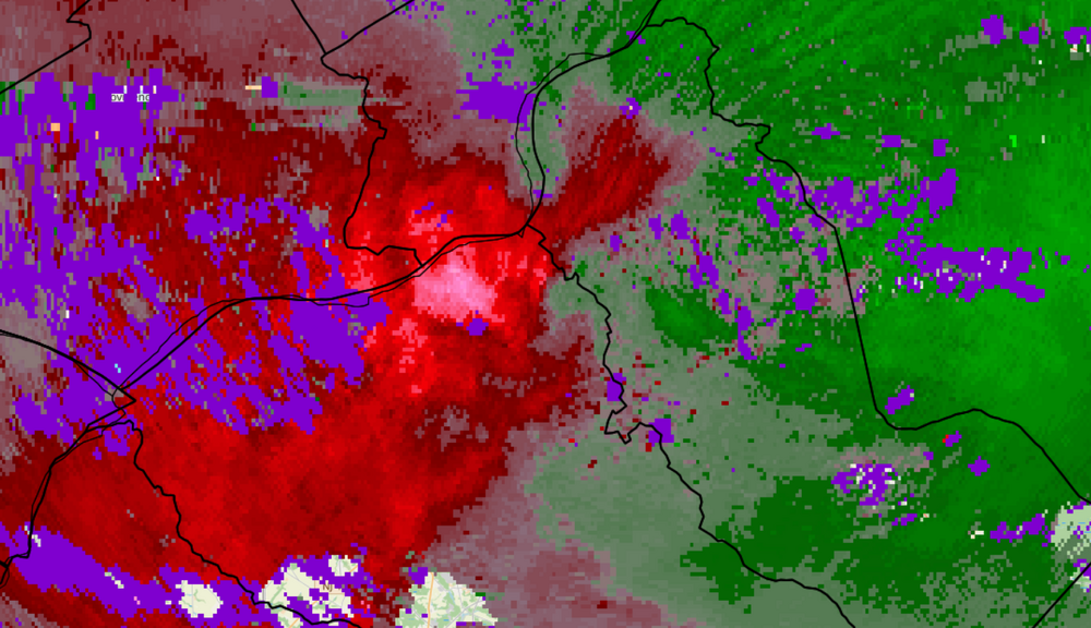
This was TPHL in West Philadelphia at 2:48 PM, then at 3:12 PM in National Park.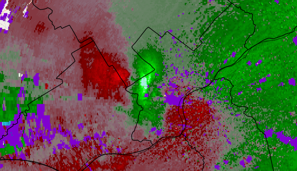
-
E PA/NJ/DE Summer 2026 Obs/Discussion
SouthernNJ replied to PhiEaglesfan712's topic in Philadelphia Region
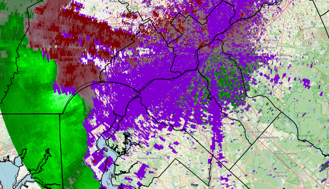
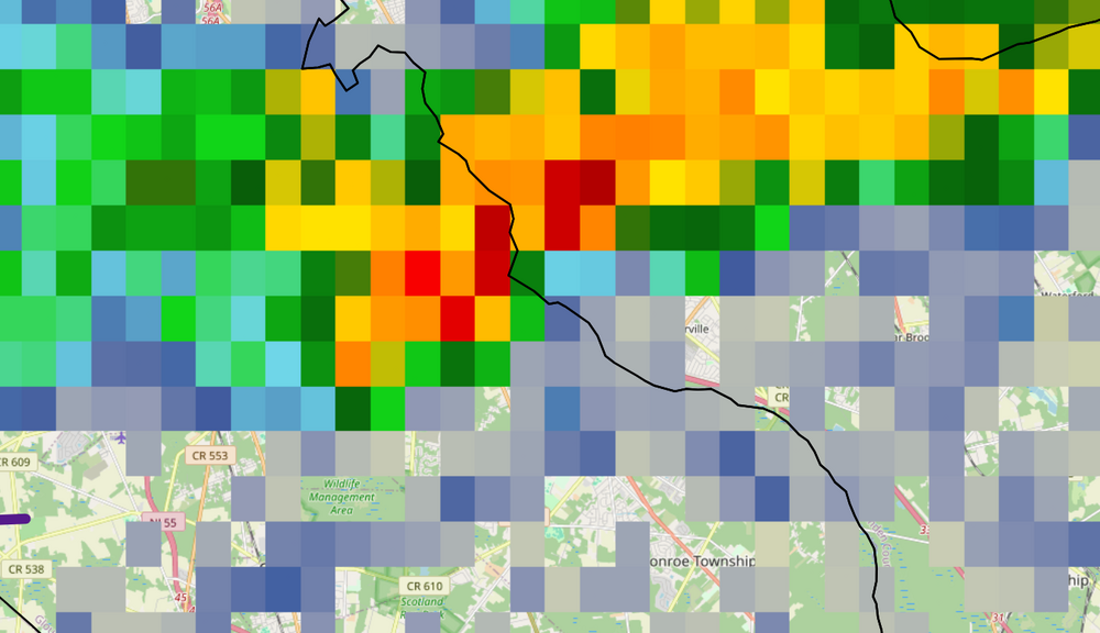
This is both TPHL and KDIX viewing the torrential thunderstorm at 4:36 PM near Cross Keys.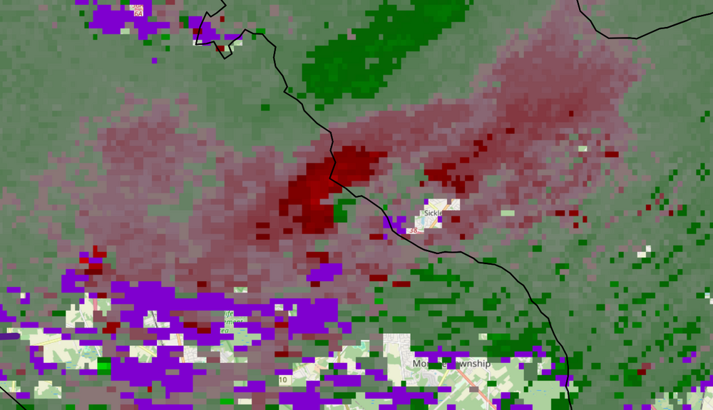
-
E PA/NJ/DE Summer 2026 Obs/Discussion
SouthernNJ replied to PhiEaglesfan712's topic in Philadelphia Region
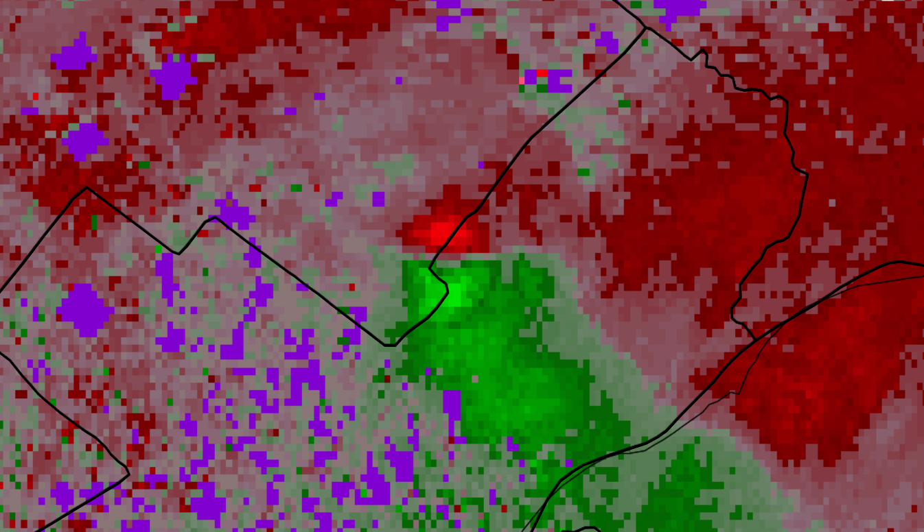
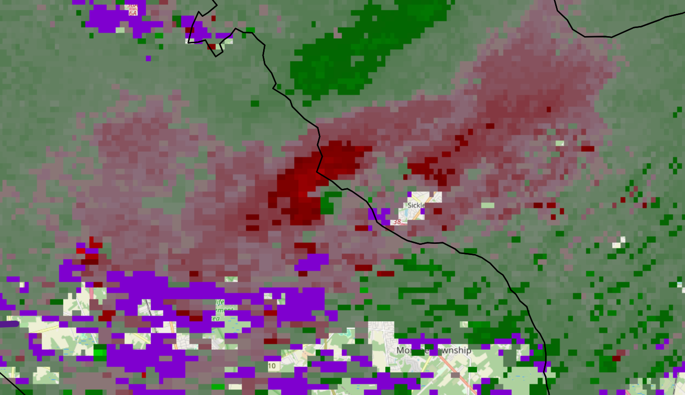
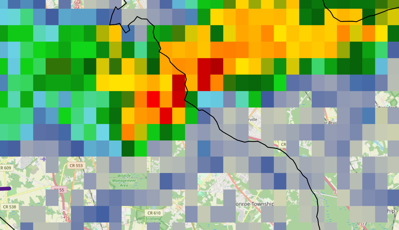
Winds decent here for the past several minutes, now pretty strong winds signature (and some spin) entering East Greenwich.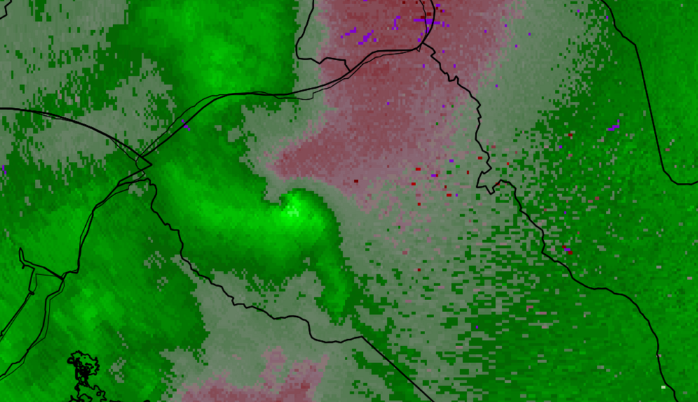
-
E PA/NJ/DE Summer 2026 Obs/Discussion
SouthernNJ replied to PhiEaglesfan712's topic in Philadelphia Region
Some isolated strong winds along the line from Marcus Hook to Woodstown. Frequent lightning occurring as well as this will move into South Philadelphia and Camden.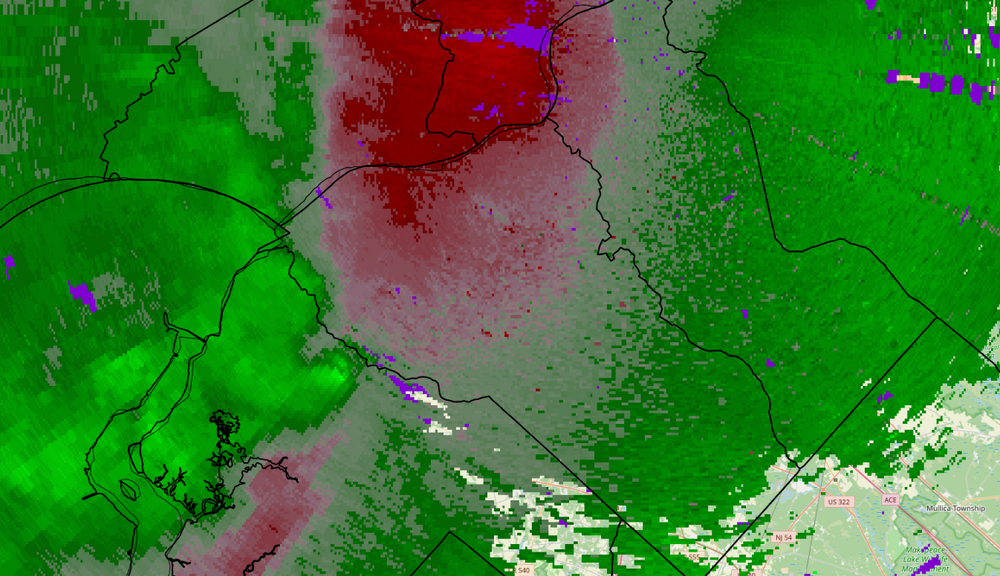
-
E PA/NJ/DE Summer 2026 Obs/Discussion
SouthernNJ replied to PhiEaglesfan712's topic in Philadelphia Region
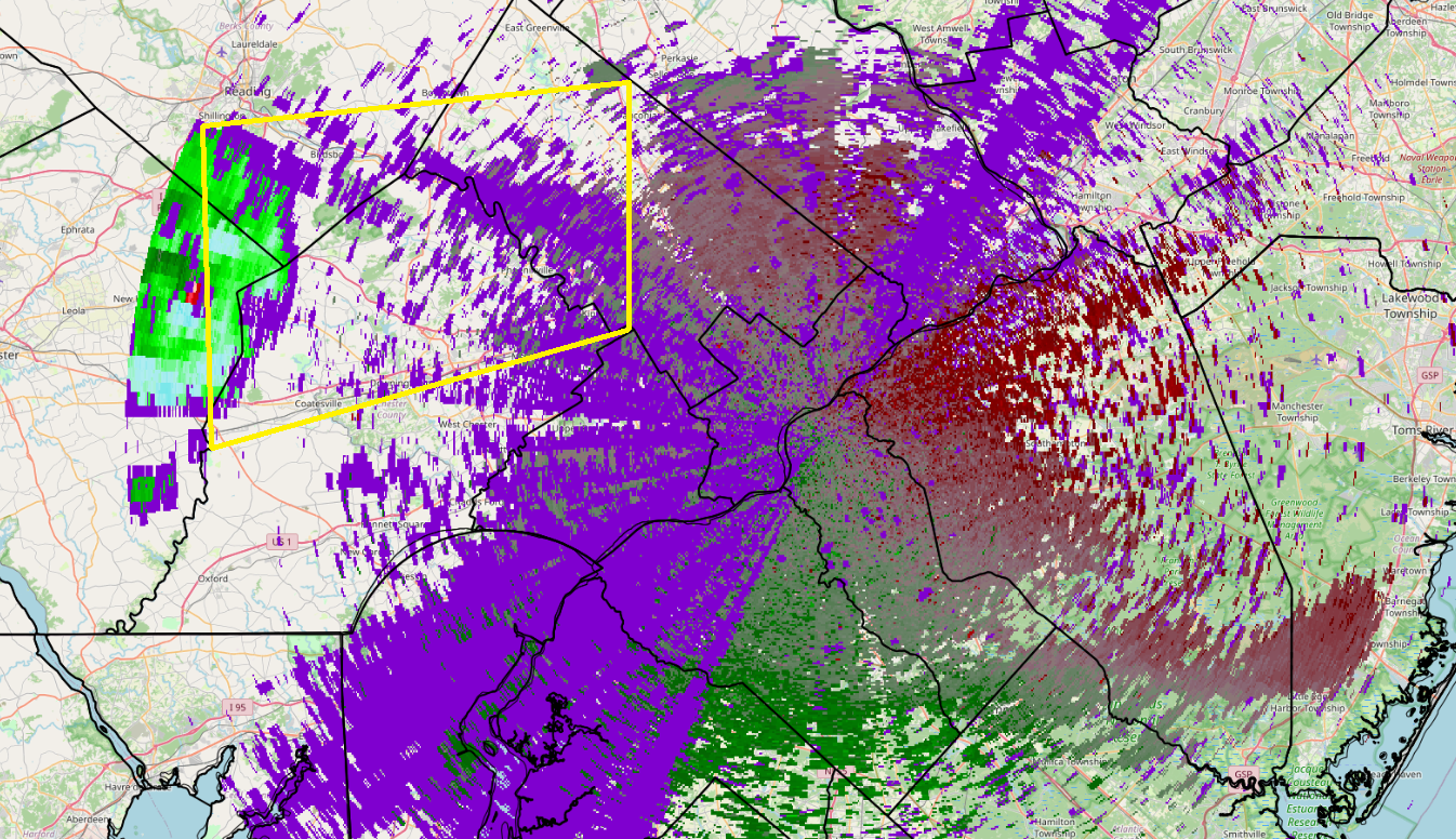
The number of sea, bay and outflow boundaries has made following storm movements and warnings quite challenging the past few days. Presently, it appears a line is finally beginning to move into the area from Lancaster county. -
E PA/NJ/DE Summer 2026 Obs/Discussion
SouthernNJ replied to PhiEaglesfan712's topic in Philadelphia Region
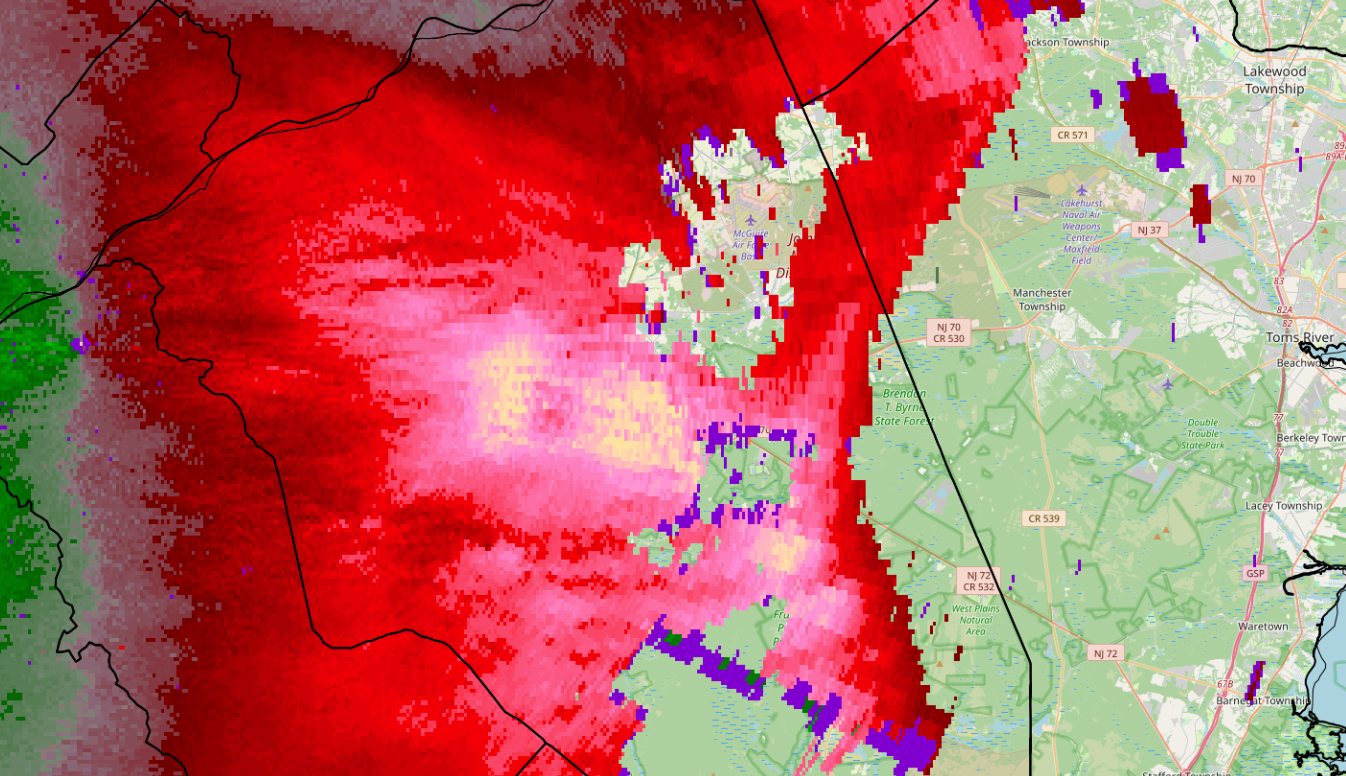
The strongest winds appeared to occur along the many outflow boundaries put out by the storms this evening. Unfortunately, these boundaries also caused weakening of convection and less rainfall for some. The highest number of damage reports were in the western zones where the storms arrived with some daylight remaining. Currently, the strongest winds are near Pemberton in Burlington county.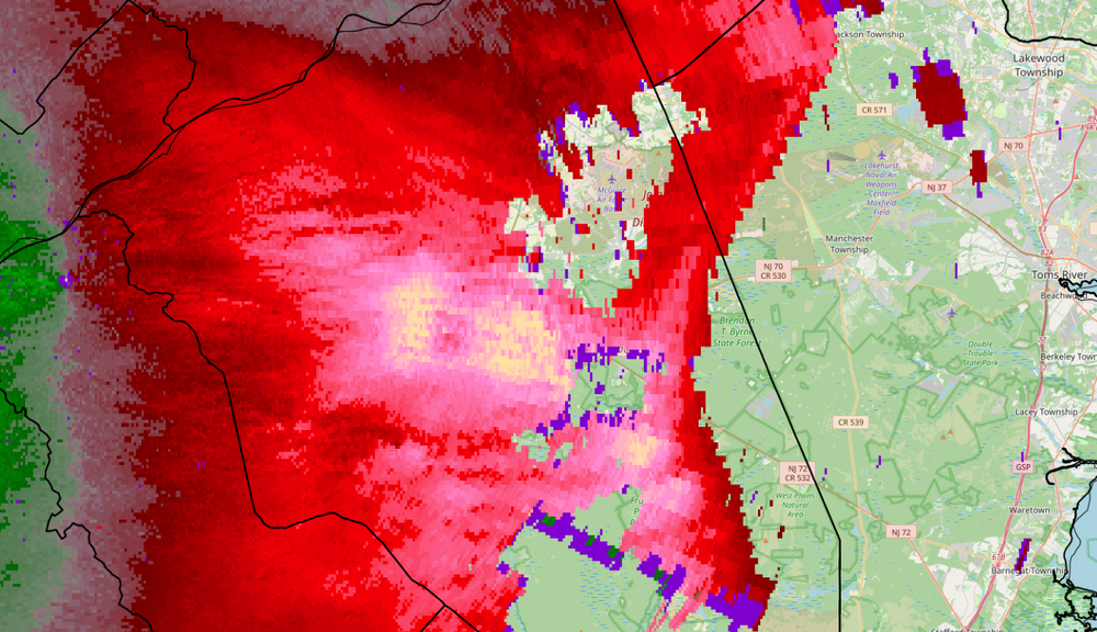
-
E PA/NJ/DE Summer 2026 Obs/Discussion
SouthernNJ replied to PhiEaglesfan712's topic in Philadelphia Region
An area of potentially damaging winds is moving in. Another area is moving along I-95 towards New Castle county.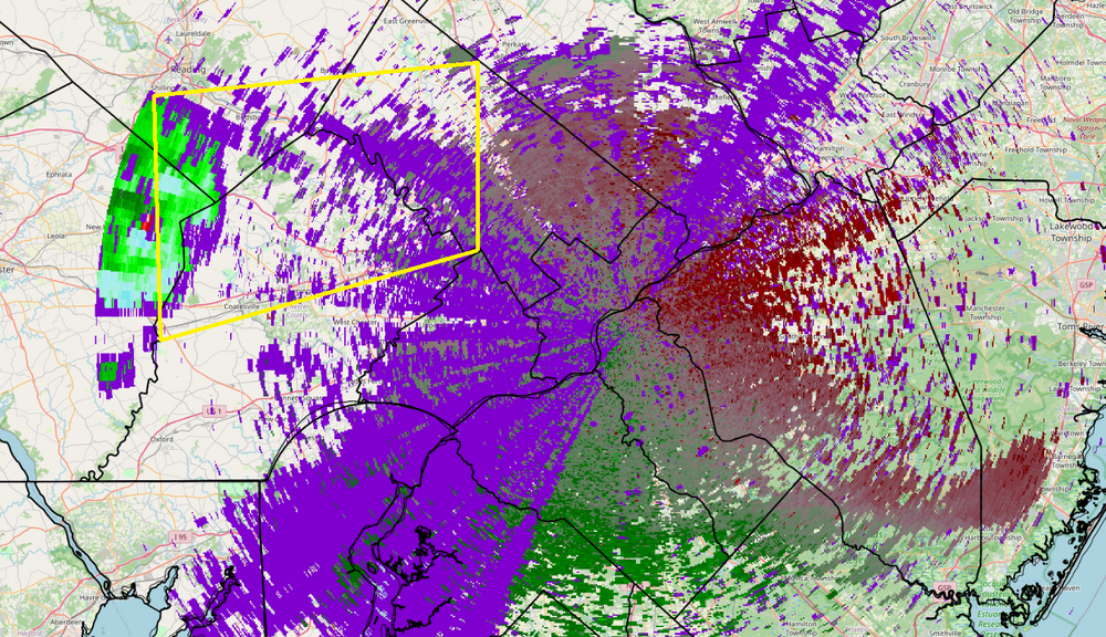
-
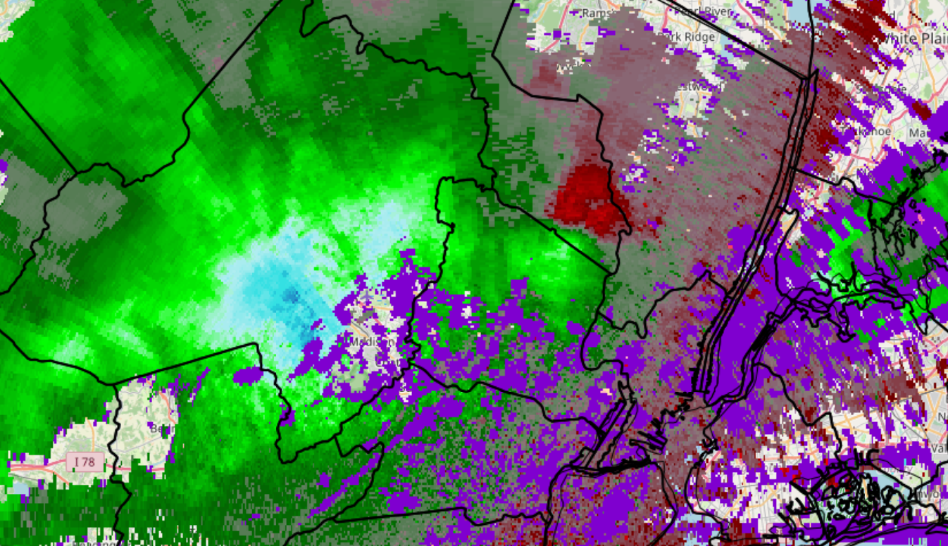
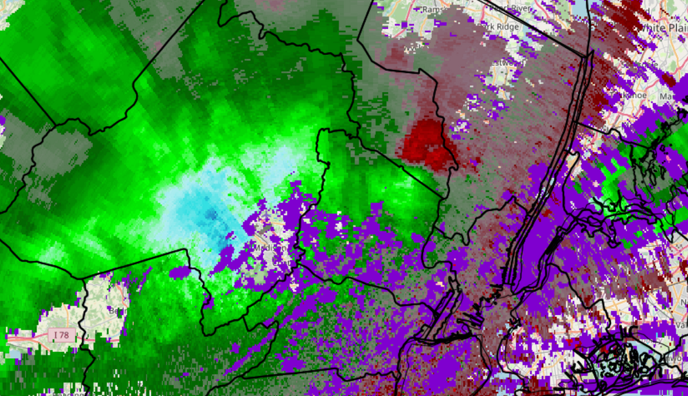
TEWR from 7:37 PM. Damaging winds were moving through Morristown and most of the county, on the leading edge of, or even in front of the line itself. A separate thunderstorm downburst was moving along the Essex/Passaic county line and into southern Bergen/northern Hudson counties. At the time of this radar image, warnings were still 10 to 16 minutes away from issuance for the 4 eastern counties.
-
2020 Mid-Atlantic Severe Weather - General Thread
SouthernNJ replied to Kmlwx's topic in Mid Atlantic
TDWR possible circulation maybe over Olney.