All Activity
- Past hour
-
Tip-I don’t feel your implication of dank socked in (ostensibly via a back door) is applicable. Even when overcast temps easily moved into the upper 60s. Now as the sun breaks out, we should end up a solid +10 on the daily max.
-
We will get some rain b/w now and next Tue/Wed but the big totals are looking less and less likely
-
12z GFS is kind of a bust in our area.
-
This was always a shaky evolution. We'll see what the final results are but the super hefty event totals (3-4"+) are looking very questionable especially along and east of I95.
-
i troll spartman, and then guidance flips. i see how it is...
-
sun just poked out should warm quick now
-
81 and a DP of 61 at noon. It’s uncomfortable, especially for May 2. Edit: just flipped on the AC. 77 in the house isn’t awful but the humidity makes it miserable.
-
Looks like Saturday afternoon into night is the coasts chance of decent rains .
-
Severe thunderstorm watch, West and Middle Tennessee
-
Someone needs to put a comma in the thread title so it reads, "Weekend Drought, Buster."
-
Gfs is a groin kick for the metro area
-
I may relocate inside...maybe the sun makes in appearance in the next hour but its not pleasant outside.
-
46.8F. Quit your bitchin
-
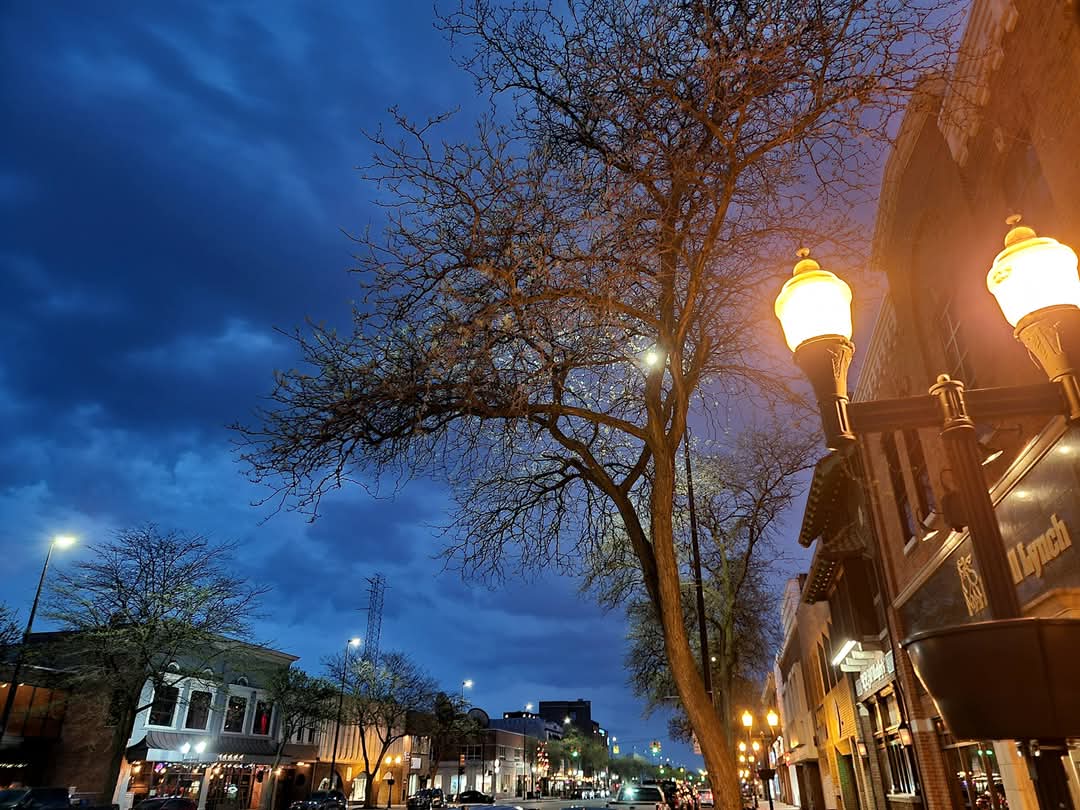
Another spot I love going is Market Basket in Athol.. hard to tell by this pic but you get pretty good views
- Today
-
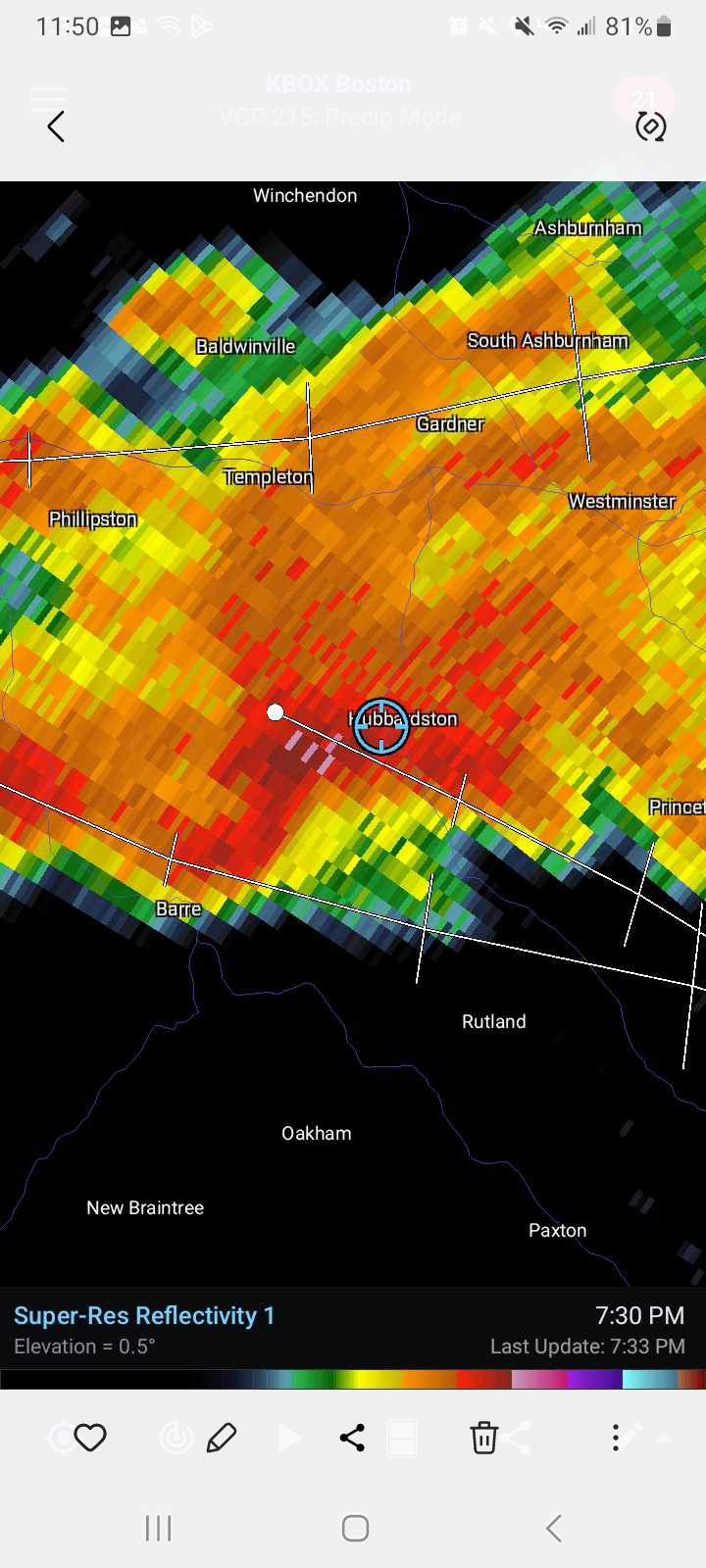
I wish I knew how to post a video of this on here.. tons of rotation with this storm in Hubbardston last year.. you can almost see a funnel in the main cloud pretty sure it was tornado warned to.. this is just after that but didn't have a pic of the velocity


-
we'll be hosed here until the last physical second the cold is allowed to hold out. I've noticed that in these fudge-packed labored warm lube jobs that that N. Middlesex and western Essex counties up here will slab cold even when PSM in NH is S at 14 F temperature jumps.
-
My winds are SW. I feel like we just need the sun. 65/60.
-
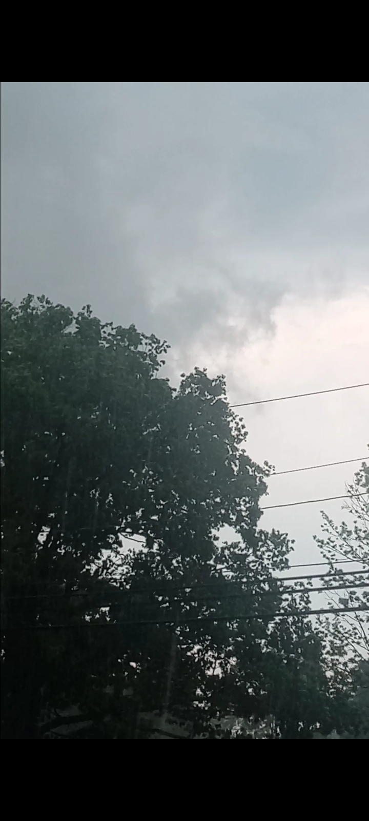
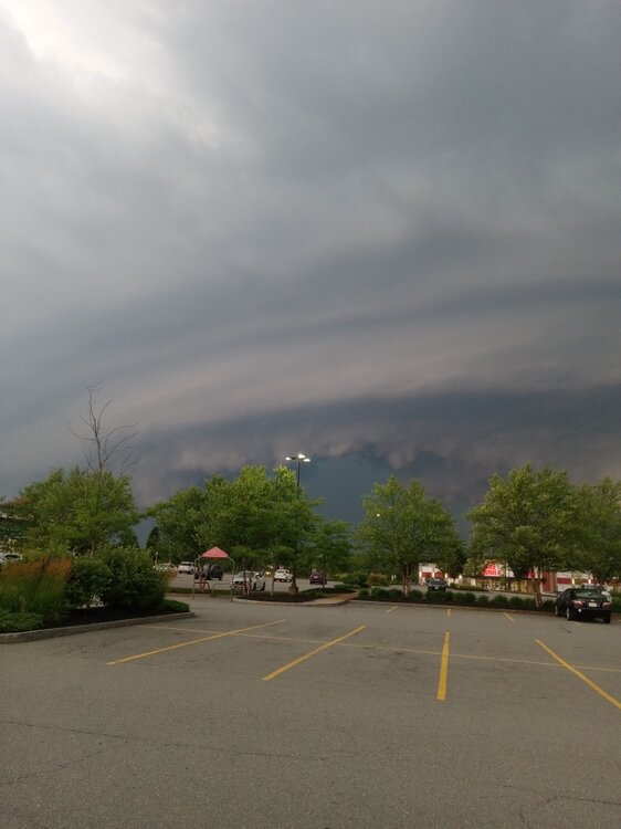
Took this cloud pic at dusk last night. They were more bark than bite, but I thought the pic was cool.

-
Temp ? I've been monitoring this site all morning ( provided by the Grand Rapids MI NWS ) and you can see/get a feel for where the warm frontal erosion axis is... Looks at glance like it's hung around NYC but judging by sat/vis loop ... you wonder if we'll get a processing leap when/if the skies improve.
-
mid 60's and pokes of sun, more humid
-
Not wedged here, just need junky mid level shit to get out of here.
-
Yes sir. We have rented out Greystone Public House - have friends flying in and driving in from all over the east coast all today (a few fly tmrw am so hope that is before the lines develop).
-
I agree 100%. From everything I read he is a great poster and a very smart guy, but absolutely lets his bias get in the way. As I posted a few posts up, our snowfall is just slightly below avg the past decade despite multiple warm winters, and our 20 year avg and 30 year avg are STILL slightly above longterm avg. The area also saw some 10-15" MORE snow in 2019-20 & 2022-23 than we did in '24-25, and those were winters 5-6° warmer than 2024-25 (but '24-25 saw more days with snow on the ground - THAT is the bigger connection to temps). Plus we aren't a feast or famine climate like yours. It's not always about temps. Climate, pattern, and storm tracks play a big role. A pattern conducive to noreasters will quickly shoot up snow totals on the east coast, regardless of winters final mean temp.
-
Yeah it’s doable, but it’s hard stuff. Terrain and chase infrastructure are horrible. It’s more risky to chase out here than the Midwest. More open spaces like NY can be good though if you’re in the right spot.
-