All Activity
- Past hour
-
GEFS looks pretty threatening for SE areas and cape.
-

Central PA Winter 25/26 Discussion and Obs
WmsptWx replied to MAG5035's topic in Upstate New York/Pennsylvania
And it's over. -
12z GFS Ens. definitely upticked on both Thursday's storm and Sunday's.
-

January 2026 Medium/Long Range Discussion
Scarlet Pimpernel replied to snowfan's topic in Mid Atlantic
-
Will be interesting to see the strength of number one and how that affects number two.
-
Agree. What are your thoughts on the 17th system?
-

Central PA Winter 25/26 Discussion and Obs
Voyager replied to MAG5035's topic in Upstate New York/Pennsylvania
Well, I guess we can't go more than 24 hours without salt covered roads...ugh. -
this has cape special written all over it. It’s a James storm for sure.
-
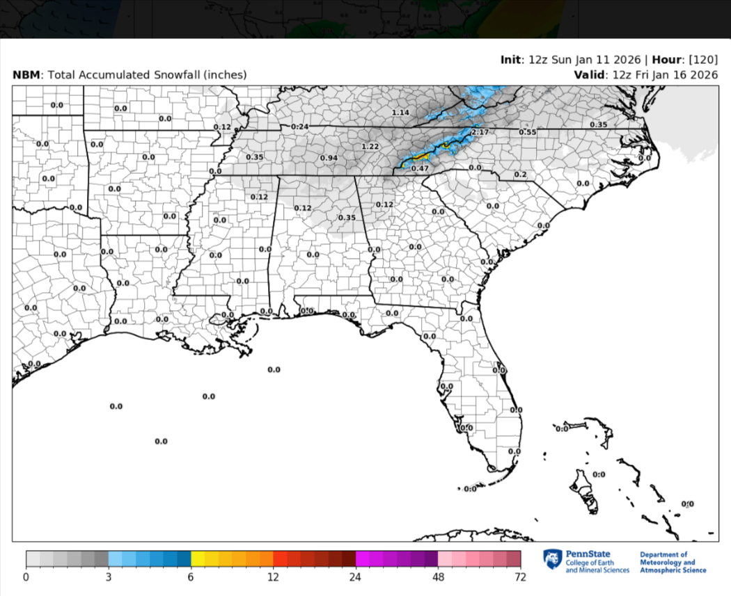
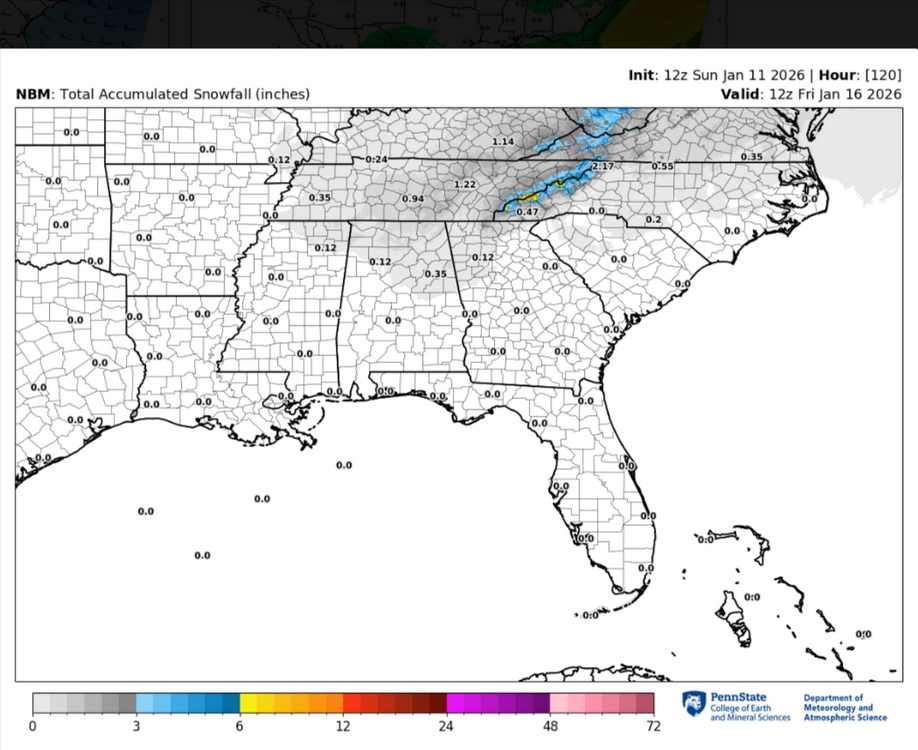
Here is the feature I am talking about. See this long arc of moisture feeding Into the Tenn and Ohio Valleys from the eastern Pacific. This is a southerly displaced Pineapple Express(loosely defined I freely admit). The Euro AIFS has had this from time to time. I just think this is not likely. HOWEVER, if the feed only tapped the Gulf...this is plausible and can't be ruled out. Scottie asked if the setup has precedent. I am actually going to change my answer. It does have precedent now that I can see this view, BUT really no other model(exception AIFS) has this. If there is any model that could score a weird coup, its is the GFS...but it just seems like an outlier at this point which has to be discounted (with system 2) until it gets some more support. It would be remarkable or the GFS to nail this....
-

January 2026 regional war/obs/disco thread
qg_omega replied to Baroclinic Zone's topic in New England
Pattern than completely collapses -
Haha. just came to post the same.
-
I said yesterday I thought the midweek system is likely somewhere between the bombs shown on the GFS and the relatively light Euro/GEM runs. I don’t see anything yet to sway me from that….
-
It's not great to have the key shortwave missing or in an unfavorable location on the ICON and GDPS... and also the short range NAM and RDPS. Even by 72 hours it's clearly missing... that's approaching short term modeling range.
-
True,thats a uptick even since the 12z,not much but something is better than nothing..lol
-
Back at uva for the rest of my tracking so I’ll get to do analysis on the big screen
-
Wind with the squall is nuts starting to accumulate
-
Dec 2017 ish
-

January 2026 regional war/obs/disco thread
mahk_webstah replied to Baroclinic Zone's topic in New England
For what -

January 2026 regional war/obs/disco thread
jbenedet replied to Baroclinic Zone's topic in New England
This is the 4th day of 40+… Been a long time… -
Central PA Winter 25/26 Discussion and Obs
WmsptWx replied to MAG5035's topic in Upstate New York/Pennsylvania
Ground caved. Took about two minutes. I've never seen it so so hard so quickly. -
Central PA Winter 25/26 Discussion and Obs
WmsptWx replied to MAG5035's topic in Upstate New York/Pennsylvania
DEATH SQUALL -
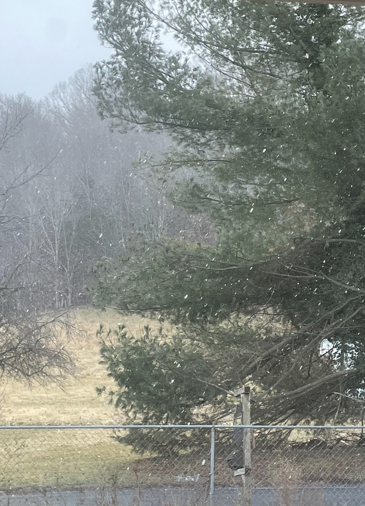
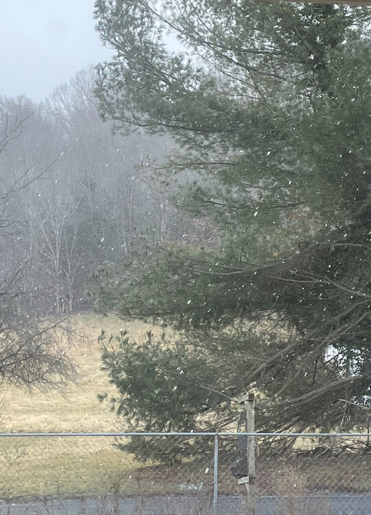
40° and windy with steady flurries here NW of Staunton in Augusta County.
-
It's snowing here right now
-
Nice snow squall coming through now
-
Lol yup. It's a massive cutter with rain to Hudson Bay now. Who knows what the next run will show.