All Activity
- Past hour
-

Hurricane Erin -> 85 MPH -> 982 MB
Boston Bulldog replied to BarryStantonGBP's topic in Tropical Headquarters
I don’t think the dual blob structure is going to preclude Erin’s RI. The southerly mass of thunderstorms should either dissipate or form into a curved band. Even if it doesn’t, we’ve seen powerful hurricanes with the dual structure such as Matthew. Very impressed with Erin’s gigantic ventilation right now, the anticyclonic outflow is sprawling across all quadrants -

Hurricane Erin -> 85 MPH -> 982 MB
Wannabehippie replied to BarryStantonGBP's topic in Tropical Headquarters
blob:https://www.tropicaltidbits.com/787e7361-d0d7-456f-9b78-58c40d09ba5a Two separate "blobs" but the main center of circulation is the one to the north and east of the other "blob". Bit of dry air entrained in between them. SAL in front of Erin, and SAL behind it as well. -

2025-2026 ENSO
michsnowfreak replied to 40/70 Benchmark's topic in Weather Forecasting and Discussion
Below normal temps to end August sometimes help kick off that earliest wave of Fall color (beyond the stressed trees already showing some color). I am SOO ready. -
I got yet another 1.44" of rain from this storm. This was expected to be a totally dry week. My August total is up to 4.32". Over the last six weeks my total is nearly 13 inches.
-
Hurricane Erin -> 85 MPH -> 982 MB
Boston Bulldog replied to BarryStantonGBP's topic in Tropical Headquarters
Erin getting “the look” now. Lots of dry air nearby to potentially slow this trend, but she’s looking ready to take off. Rotating CBs in the eyewall are a dead giveaway. I believe data says the eye is a bit bigger than the pinhole it looks to be on satellite, but IR is looking fierce now -

Hurricane Erin -> 85 MPH -> 982 MB
BarryStantonGBP replied to BarryStantonGBP's topic in Tropical Headquarters
-
Congratulations and best wishes.
- Today
-
I dunno, the best lift is well below the DGZ. Probably some shitty snow growth in that.
-
Yes Its a boy !
-

Occasional Thoughts on Climate Change
Typhoon Tip replied to donsutherland1's topic in Climate Change
It’s not impossible, but Id be more willing to bet sea-surface wind stressing patterns over time forced the distribution of thermal anomalies - I’d want to rule that out first. He’s making conjecture so I’m not really faulting him per se but if there’s going to be a formal science out of it, that’s gotta happen. That and any other plausible forces … Eliminate the possibilities to back into the theoretical premise as the remaining explanation. -
Hurricane Erin -> 85 MPH -> 982 MB
Wannabehippie replied to BarryStantonGBP's topic in Tropical Headquarters
On the latest satellite photos it looks like Erin now has a clear eye. Will have to wait for the aircraft recon to confirm. -
 This season only New Brunswick has more 89 Degree Days:New Brnswck: 9TTN: 5TEB: 5BLM: 3EWR: 1NYC: 8ACY 2ISP: 5JFK: 1LGA: 2PHL: 2
 -
Little curious with the second graph however. Where was a 95 today?
-
Torch!
-
Wildly unnecessary watch extension
-
 Maybe the Park guys have a little side bet going on the summer temperatures?
 -
Be grateful. It means you're going through a healthy ecosystem, rather than one destroyed by various insecticides. Drive from New York to New Haven or to Albany, you won't have that problem.
-
If I'm Rubenstein, Elias is gone at the end of the season. And the entire coaching staff is gone too. The young core pretty much all went backwards this year.
-
 What is the distribution of highs at Central Park during the summer season? I always feel like the station is trolling us with what feels like a large number 89s it records.
 -
It would be service to the community if someone would put some numbers on the table so we could assess the plausibility of geothermal ocean warming. Iirc, water has a much higher heat capacity than rock does, so even some cubic miles of lava are rounding errors relative to ocean heat content. The Kuroshio current carries about 100 cubic kilometers of water at about 3 kilometers per hour, so the daily flow is about 7500 cubic kilometers. Can a thousand seismic events free up enough heat to materially raise the temperature of 7500 cubic kilometers of water daily? While I don't think so, it would be helpful to have a well founded analysis to either verify or debunk this theory.
-

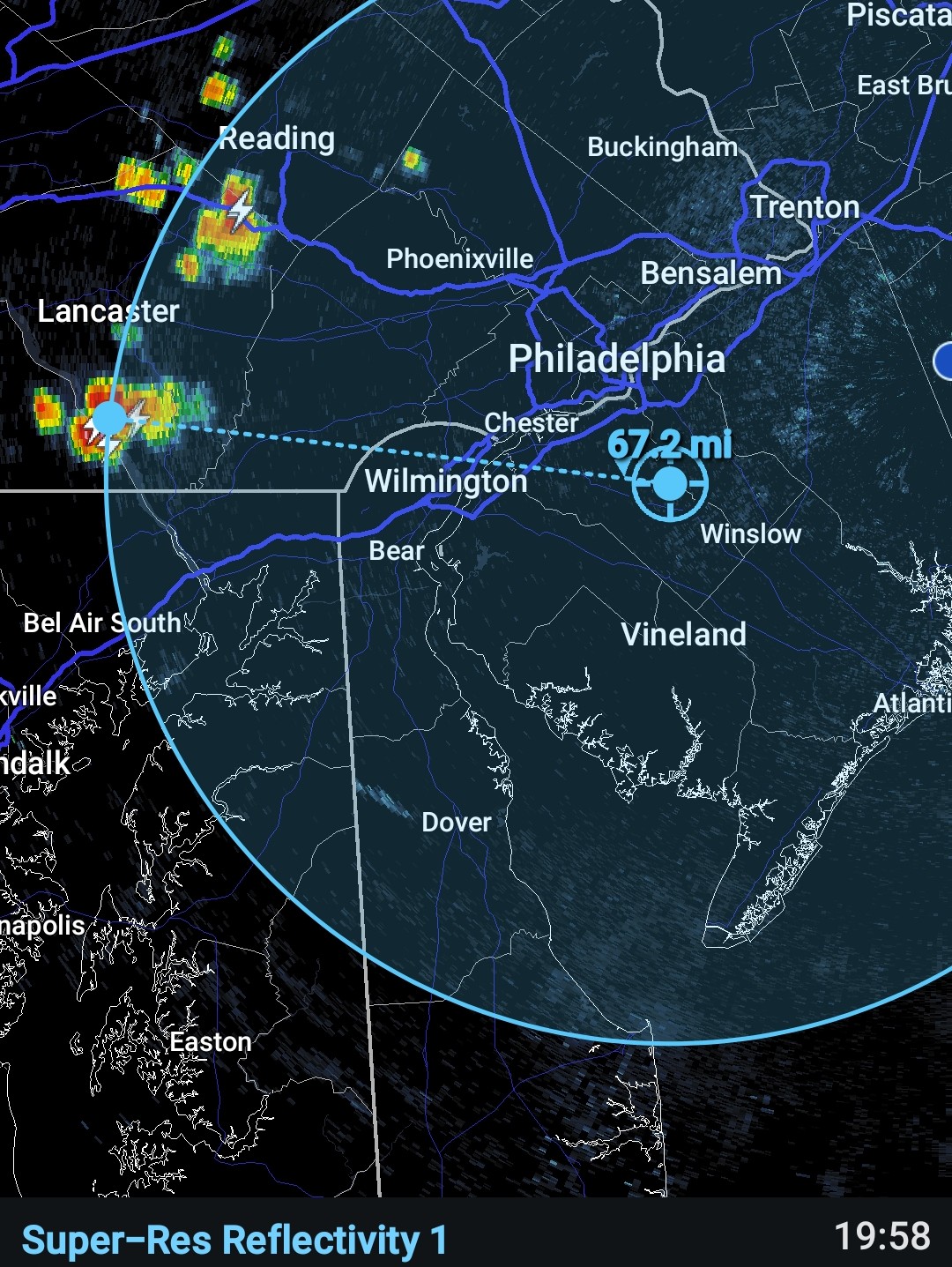
E PA/NJ/DE Summer 2025 Obs/Discussion
BBasile replied to Hurricane Agnes's topic in Philadelphia Region
No spectactular weather today, but there were a couple of 38kft towers over 60 miles away during sunset..thumb.jpg.ebb08d340a9440bd16e520117e89c0dd.jpg)

-
NYC with its 8th high of 89 for the season.
-
Had a surprise storm just a little while ago. Picked up .20" from it. Though we were going to start drying out today!
-
Hurricane Erin -> 85 MPH -> 982 MB
Wannabehippie replied to BarryStantonGBP's topic in Tropical Headquarters
In addition to the current NOAA flight in Erin, there is a AF low level flight headed in right now. It looks like the NOAA flight is on the third pass to the center of Erin. NHC has it at 982 with 85 mph winds. 8:00 PM AST Fri Aug 15 Location: 19.4°N 58.5°W Moving: WNW at 17 mph Min pressure: 982 mb Max sustained: 85 mph -
Highs: PHL: 94 TEB: 91 EWR: 90 New Brnswck: 89 NYC: 89 TTN: 88 * missing data ISP: 88 LGA: 88 JFK: 85 * no intra hour highs ACY: 84 BLM: 81