All Activity
- Past hour
-

January 2026 Medium/Long Range Discussion
NorthArlington101 replied to snowfan's topic in Mid Atlantic
I’m all in on Jan 23-25. But until then, it’s no bueno. Gonna see if it’s worth a drive to WV this weekend and catch some extra sleep this week. -
H5 cut off over pa not ideal.
-

January 2026 regional war/obs/disco thread
Sey-Mour Snow replied to Baroclinic Zone's topic in New England
Solid squall, got clipped by it and got a good coating on road. Puking now. Must be epic SW of me in Monroe. -
Are we at the "iT wAs AlWaYs EaRlY fEbRuArY" phase of this thread yet?
-
It's a dud. Nothing save from some light stuff
-
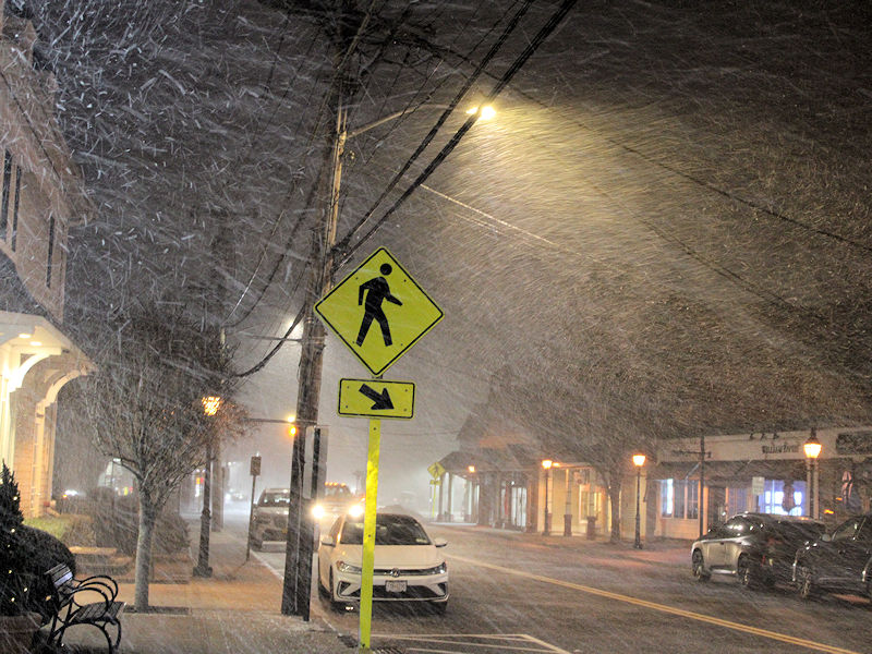
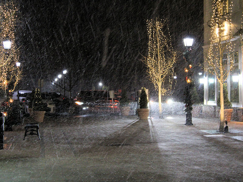
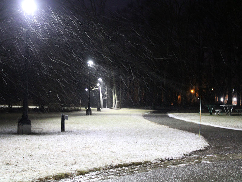
Three photos from Armonk during this evening's snow squall.
-
I'd love to have a simple path. But ngl...until I finally get a flush hit here, I'm always gonna be worried about a miss south. Been so long since we just got a flush, not-too-suppressed hit.
-
I like the ensemble trends. Actually not bad considering it's still 4 days out.
-

January 2026 regional war/obs/disco thread
TauntonBlizzard2013 replied to Baroclinic Zone's topic in New England
Possibly, but at the same time, you don’t want to thread the needle in the wrong direction. Thursday/Friday ends up blowing up, but too far east, dragging the BZ offshore for the following event -
January 2026 Medium/Long Range Discussion
NorthArlington101 replied to snowfan's topic in Mid Atlantic
Out to 105 it looks like “what storm” -
Cape storm pretty much the same on the 18z GEFS as well.
-
So far with the Euro's run it doesn't seem like an improvement.
-
Dry because it hasn't gotten near the coast.
-

January 2026 regional war/obs/disco thread
Damage In Tolland replied to Baroclinic Zone's topic in New England
Who cares. The snower is Thursday/ Friday -
Just looks like a reply of the Thursday storm. Cut off that comes from the north. Surface is pretty dry.
-
Yeah 18z looked good again for us. The adjustments are not done though but hopefully we see more continuity.
-
wow ... just going over all this stuff today... there is sooo much potential in all this I don't even know where to begin. my god The GEFs 18s first off all ..it's actually attempting to parse the 2nd wave/reduce it's interference, such that both events get a shot. There's an emerging -EPO that could be truly historic. 580 dm heights closed over the Alaskan sector is ...well. whatever. This is pretty exotic in the operational run. I mean it's in the long range so it's just eye candy but that's a what-the-fucker up there
-
I was told 5H didn't matter
-
Again, these are the Spiking pna without a 50/50 low…hmmm.
-
Yeah the GFS was showing the moisture from this morning coming in for a few days but was playing catchup as well. The Euro didn't have it until yesterdays 12z run. The euro has been too dry as well. But the euro at least at the H5 pattern basically nailed this cold front from 10 days out except the surface temps surprise surprise we about 20 to 30 degrees TOO WARM. honestly I only look at the gfs at short range anymore but all models have been struggling.
-
umm, I know TSSN+ posted the Ukie stunk for storm 1, but I don't think anyone posted anything on the Ukie's take on the Cape storm, did they?
(6).thumb.png.ad155653c8e848aac92e1bee798233a0.png)
.thumb.png.c8b06c209560103f6f4d5632f2909ba0.png)
-
Okay euro is running. Good luck to us
-
I agree to an extent but I would like to see the trough somewhat west. I personally would feel better about it
-
Go on
-

January 2026 regional war/obs/disco thread
Snowcrazed71 replied to Baroclinic Zone's topic in New England
For now......


(6).png.043d19aa88a2f58e084e4ab5f970d40f.png)
.png.935b48dd7e4540ddc80a123af001562d.png)


