All Activity
- Past hour
-
My favorite time was pre 1986, when DST was from the last Sunday in April to the last Sunday in October. The clocks moving ahead at the end of April coincided of course with blooming really taking off as well as generally warmer weather and was a sure sign summer and the end of school were around the corner. Likewise, the last Sunday in October (which lasted until 2006) ushered in the start of the holiday season, kicked off by trick-or-treating after dinner being in the dark. The ridiculous extended DST we're in now leads to some weird sunrise/sunset stuff, like having March sunrises almost as late as the latest natural sunrises in early January. I know I've said all this before. Not sure why this topic interests me so much.
-
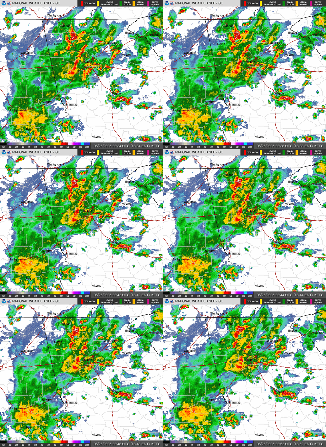
Going to be another busy night if this makes it way north. Sent from my SM-G998U using Tapatalk
-
83 today a real beaut after the stretch we just had
-
To help bring the world back into balance, I'm going to open the windows.
-
 We smoke.
 -
Ineedsnow thinking 3-6” there
-
Fine for now yes . But this is high sun angle time of year . Combined with 70’s/80’s and low dews.. it’ll set out quickly
-
80 today.
-
Gonna get a nice long break from mowing the lawn.
-

Occasional Thoughts on Climate Change
Silver Meteor replied to donsutherland1's topic in Climate Change
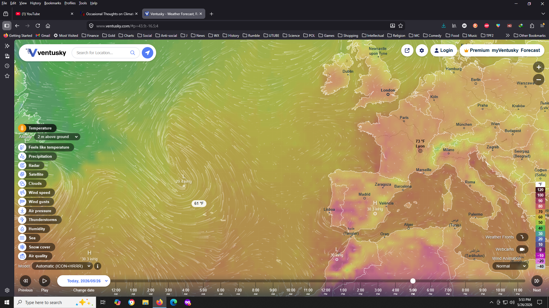
And an Azores Low?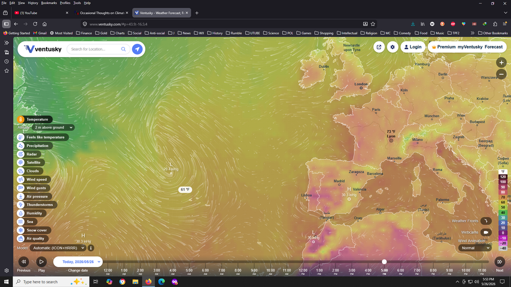
-
Guess this should lock in IL for the title for most tors this year then.
- Today
-
We are going to be thanking that we had the extremely wet March and April here because yikes. Between that and the ridge to the N causing fire weather up in Canada, wouldn't be surprised if we June 2023, again.
-
We had a big chonky one in our driveway yesterday evening. Our dog started going bonkers and I yelled for my wife to come down to look. Unfortunately (?) it went down the driveway into the woods. our dog hadn’t seen a bear before and she was shook.
-
Tomorrow will see the temperature rise into the lower 80s across the region. It will then turn somewhat cooler for Wednesday through the remainder of the week. The ENSO Region 1+2 anomaly was +2.1°C and the Region 3.4 anomaly was +1.0°C for the week centered around May 20. For the past six weeks, the ENSO Region 1+2 anomaly has averaged +1.72°C and the ENSO Region 3.4 anomaly has averaged +0.83°C. The ongoing El Niño will continue to strengthen through the summer. The SOI was -5.19 today. The preliminary Arctic Oscillation (AO) was +1.359 today. Based on sensitivity analysis applied to the latest guidance, there is an implied near 65% probability that New York City will have a warmer than normal May (1991-2020 normal). May will likely finish with a mean temperature near 63.6° (0.4° above normal). Supplemental Information: The projected mean would be 1.1° above the 1981-2010 normal monthly value.
-
that's Florida weather, super GWDLT and if I did I'd move
-
Almost nothing around Chapel Hill in this supposed wet period
-
How much snow though?
-
The last six months we’ve had our share of that.
-
Very nice…looks beautiful. Enjoy!
-
That probably won’t hold. But have had plenty of late..so I’m fine with that if it does.
-
 Similarities to 2023 and later on in June in 1997.
 -
Man what a Steiner in SNE thru day 10. Zero rain
-
1.69” is the total here.
-
Even with "Drizzlefest" I'm at about 2.2 total for May compared to normal of around 4 inches. Looks like May will be yet another WAY below normal month. Severe drought continues, maybe heading into extreme.
-
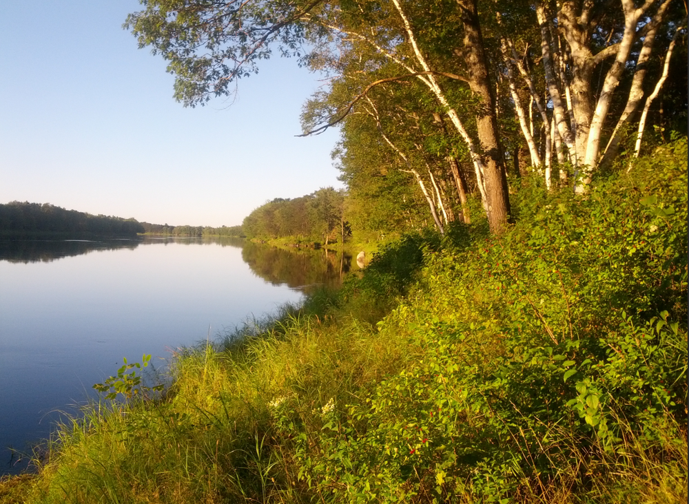
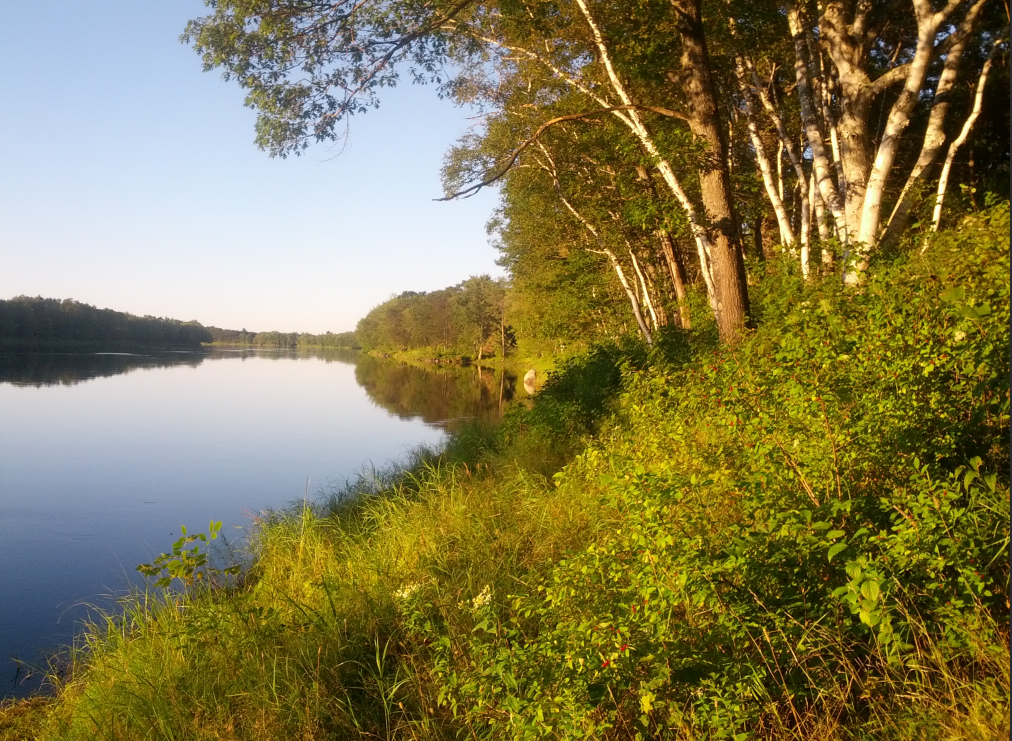
Third generation property on the Penobscot. Best thing that ever happened to Lincoln was when the boiler at the mill cracked 15 years ago. No more smell. Covid had a number or people gobbling up 2nd homes.