All Activity
- Past hour
-
The euro has been insistent on the “part 2” picking up the slack on its runs. Later hours allows the low to creep north and the n/s element keeps the snow guns on for quite a while.
-
Well got a general idea but will be nice to see when the pretty non 1967 maps come out shortly.
-

Central PA Winter 25/26 Discussion and Obs
canderson replied to MAG5035's topic in Upstate New York/Pennsylvania
Thank you -

Central PA Winter 25/26 Discussion and Obs
paweather replied to MAG5035's topic in Upstate New York/Pennsylvania
Long duration on the 12z EURO. Looks good. -
ECM is long duration adds up
-
Possible Record Breaking Cold + Snow 1/25 - 1/26
Jt17 replied to TriPol's topic in New York City Metro
lol this is literally wishcasting . -
Possible Record Breaking Cold + Snow 1/25 - 1/26
eduggs replied to TriPol's topic in New York City Metro
If we trend towards the GFS-family, this could be a non-event. The 12z ECM-AI was actually a step towards that solution aloft, despite what it printed out in terms of QPF. If we get a 6z ECMWF, 12z UK/ICON/CMC event, then this is definitely a NESIS/KU event with significant snow from Richmond to Boston. I'm far from comfortable characterizing reasonable QPF expectations at this point. First I want to get more confidence that the 12 GFS solution is unlikely. -
@NorthArlington101 you know what time it is
-

Possible Record Breaking Cold + Snow 1/25 - 1/26
WeatherGeek2025 replied to TriPol's topic in New York City Metro
my dream come true -
It helped a ton that it snowed for long duration and the phasing got DC/Balt into the goods there after h129. Wide precip field. Through 129 there wasn’t that great of totals Qpf wise.
-

Possible Record Breaking Cold + Snow 1/25 - 1/26
NEG NAO replied to TriPol's topic in New York City Metro
why ? -
Possible Record Breaking Cold + Snow 1/25 - 1/26
mob1 replied to TriPol's topic in New York City Metro
That's amazing -
Looks like a long duration event per these maps. Looks good to me but unsure how it compares to previous run
-
TPV looks east and the northern piece looks stronger. Both good for increasing the ceiling and northward extent of the precip.
-

Possible Record Breaking Cold + Snow 1/25 - 1/26
Nibor replied to TriPol's topic in New York City Metro
-
Winter 2025-26 Short Range Discussion
A-L-E-K replied to SchaumburgStormer's topic in Lakes/Ohio Valley
woodstock event -
Starting that slow creep to a Norfolk, Hampton Roads blizzard.
-
That's fucking awful those pics I mean. Geez. The things I do for you folks
-
Possible Record Breaking Cold + Snow 1/25 - 1/26
Prue11 replied to TriPol's topic in New York City Metro
I don’t buy it. -
Looks better than 0z
-
Qpf about the same actually
-
It keeps expanding the precip field with every run. Central VA still the place to be for the jack imo.
-

January 2026 regional war/obs/disco thread
The 4 Seasons replied to Baroclinic Zone's topic in New England
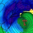
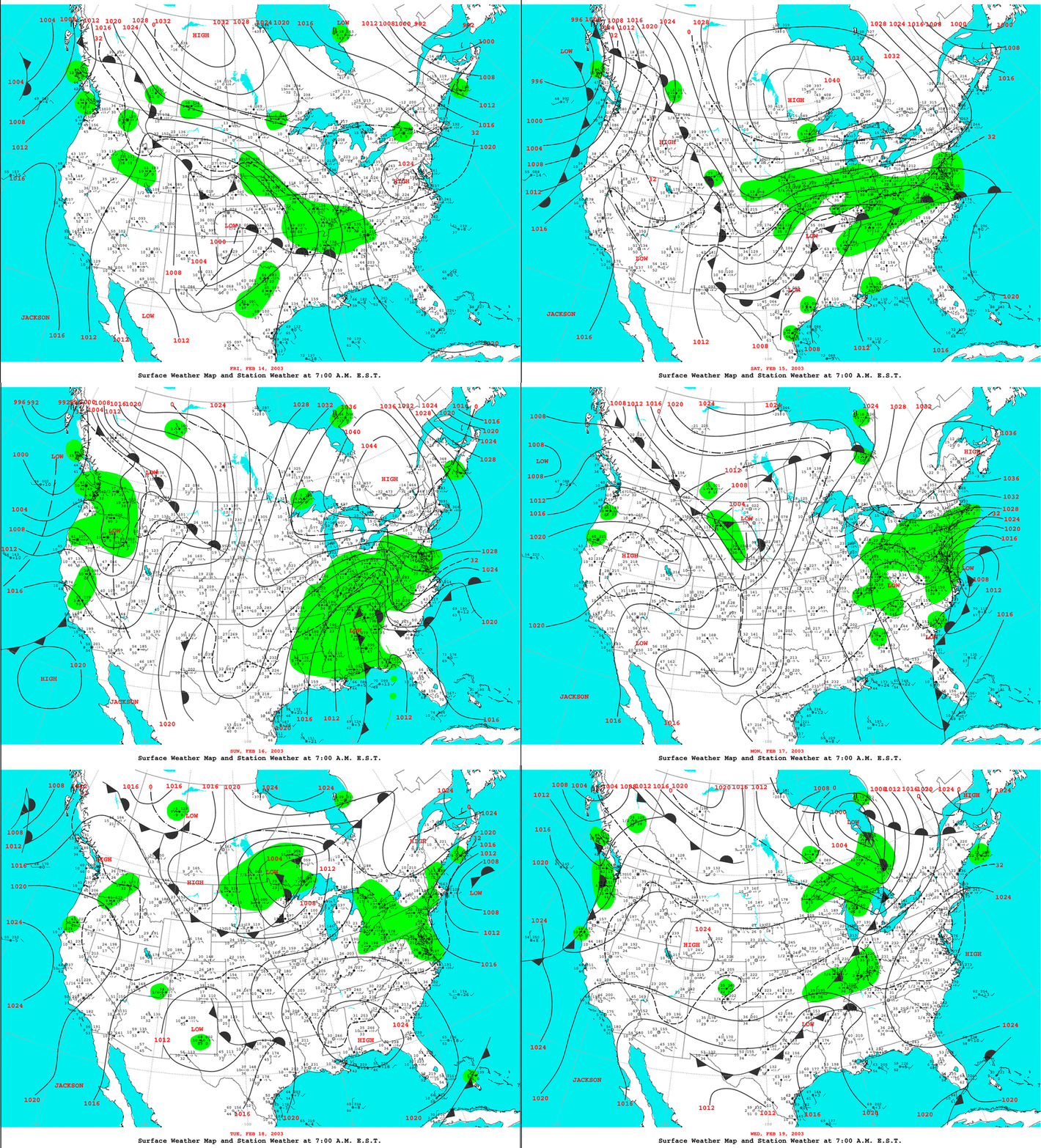
Yeah, i can see why comparisons are being made to PDII..another 1008mb low off the delmarva that produced 1-2 feet Not often you see this type of setups -
Possible Record Breaking Cold + Snow 1/25 - 1/26
Prue11 replied to TriPol's topic in New York City Metro
It’s seems like Theres a lot of wishcasting going on now. Someone hear something that’s negative about there area and they immediately dismiss it lol -
Euro looks more like UK/Canadian with thermals..ouch


