All Activity
- Past hour
-
Dew point is at 60. Holding at 75. Hard not to smile at this point.
-
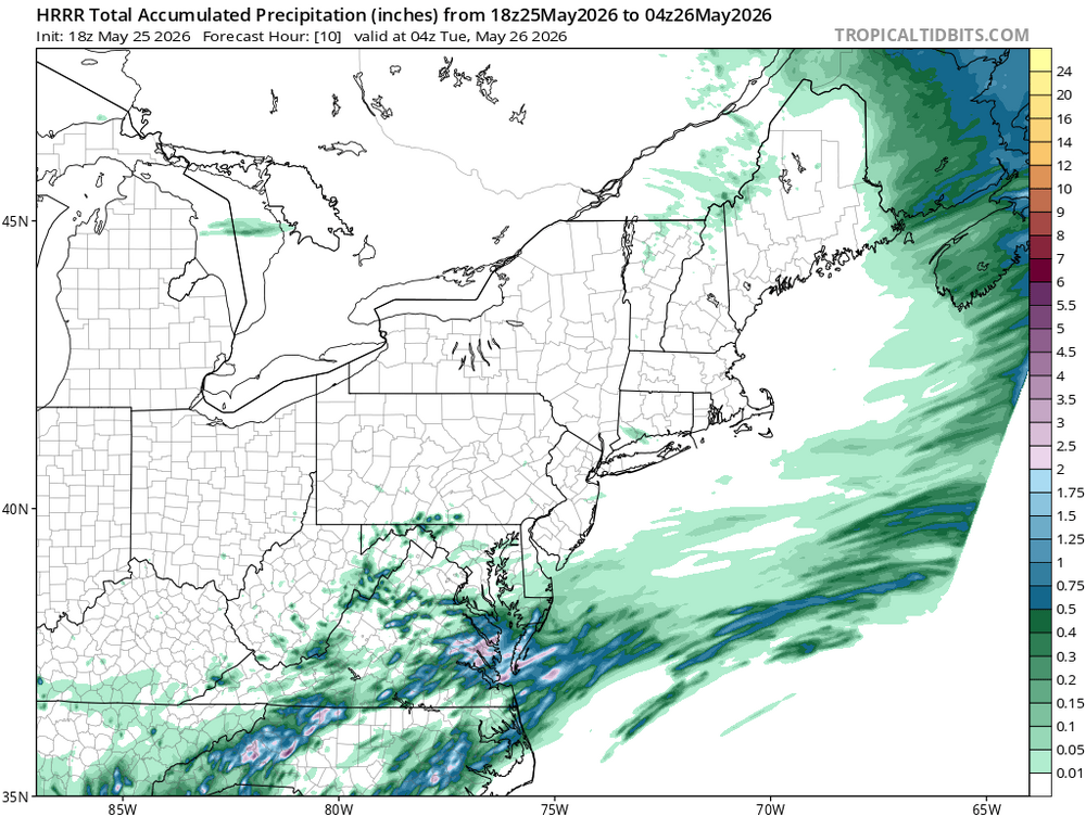
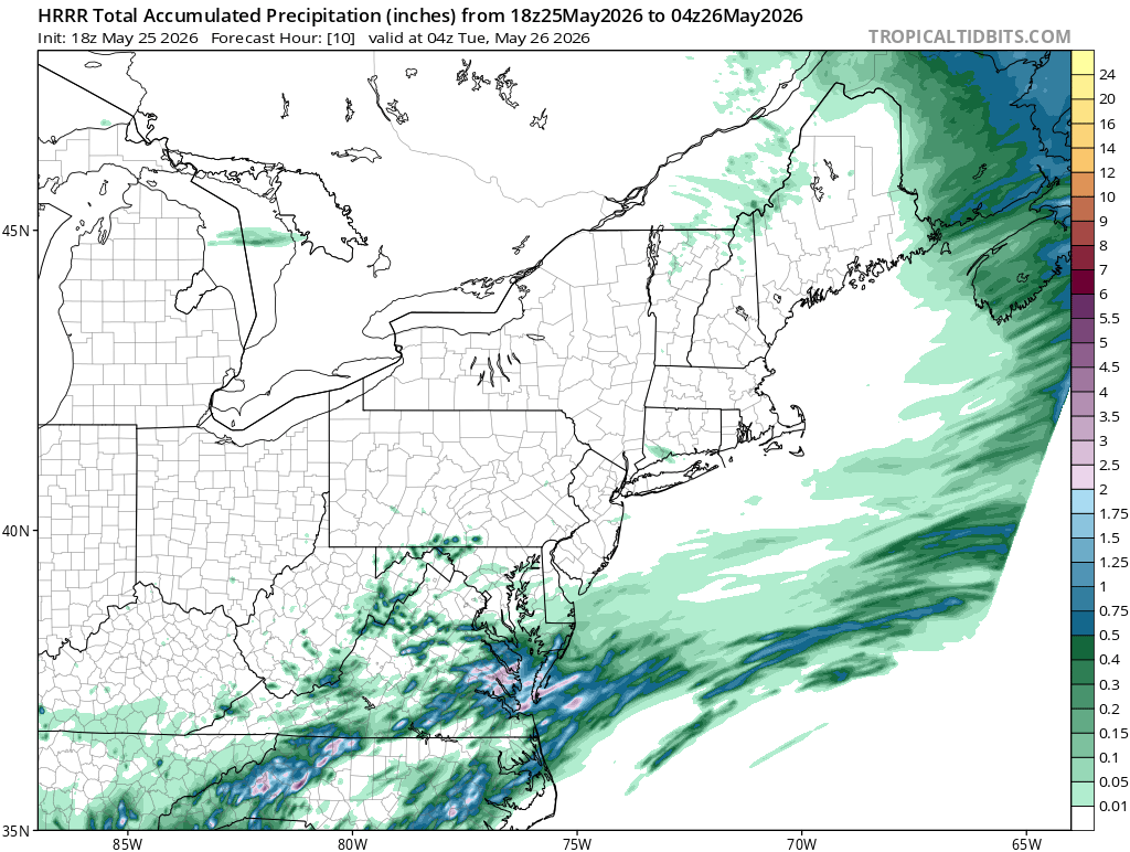
If the HRRR is to be believed the Triad is going to be the big loser today after rain slid to our SE earlier. We did get enough to get the ground wet anyway, but clearing up again for now
-
Still pretty crappy at jones beach, just had some drizzle. Drone show approaching and hardly anyone in the park. .
-
Enjoy
-
Yeah touch of humidity.
-
Heck of a recovery back to summer!
-
-
Still see this profound oscillation pattern thru June25
-
Humid as balls out here
-
Definitely something passing through Saturday. Now can it get out of here by aftn or does it pivot and linger into Sunday.
-
Visited my mom on her 86th. Got home, did some mulch/garden work, split some wood. Cut lawn next. Turned out nice. 1.25". 67f Sent from my SM-S921U using Tapatalk
-
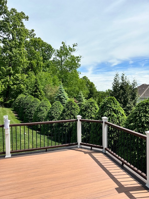
With 5-1/2 hours of serviceable daylight left in this 3 day weekend blue skies and sunshine have returned. Will fire up the grill later.
-
At least it’s warm. 70/61
-

2026-2027 Strong/Super El Nino
Stormchaserchuck1 replied to Stormchaserchuck1's topic in Weather Forecasting and Discussion
Why do you think the PNA and Southern Hemisphere High pressure is not responding so far? The same thing happened in 23-24. There's definitely an El Nino building in many aspects, but it's not propagating to the northern and southern latitudes as much as past examples, thus far, not a global dominating event. The +AAM should produce more of a northern latitude favorable H5 pattern, let's see what happens there in the next few weeks. -

2026-2027 Strong/Super El Nino
snowman19 replied to Stormchaserchuck1's topic in Weather Forecasting and Discussion
How do you explain the +AAM, -SOI, convective standing wave, WWBs/westerlies, raging STJ? Those are all blatant Nino atmospheric coupling responses -
2026-2027 Strong/Super El Nino
Stormchaserchuck1 replied to Stormchaserchuck1's topic in Weather Forecasting and Discussion
Just not really seeing the corresponding pressure patterns in the North and South Pacific so far, in the mid latitudes. 1997 and 1982: notice how -SLP stretched in the Hadley Cell from 180E to 360E -
It is coming. Hang on.
-
70/58
-
Sun popping out here, its a humid 73° now. Sweet
-
3.90" total at 2:30. Hope for 5.00" by Wednesday 8 pm.
-
The clearing line is like watching paint dry.
- Today
-

Central PA Spring 2026 Discussion/Obs Thread
Itstrainingtime replied to Voyager's topic in Upstate New York/Pennsylvania
Total rainfall since last Thursday - 2.48". -
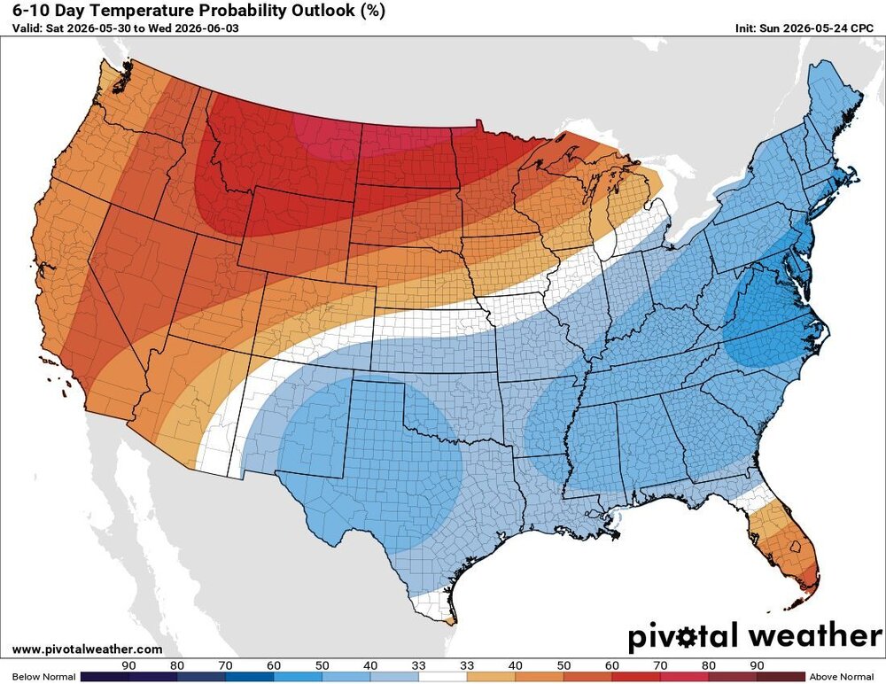
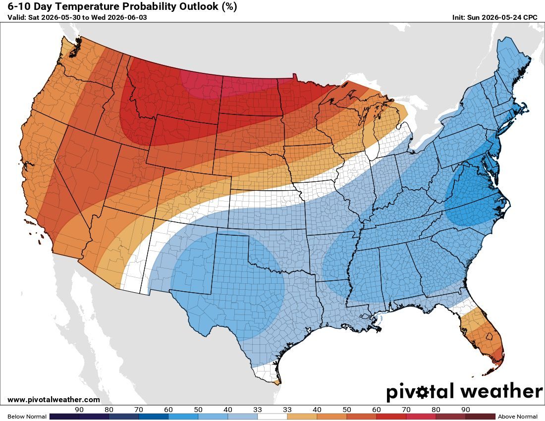
 GFS has us mostly drive for the 2 week period after Tuesday. And no big heat.
- 14 replies
-
- 1
-

-
- let the flood gates open
- oh thats where the moisture is
- (and 1 more)





.thumb.gif.f92b16c631a1d15d405ed77b33f0710d.gif)