All Activity
- Past hour
-
more rain that I don't need. Wish it would not rain for a week.
-
39 here this morning also.
-
39 this morning.
-

-

Central PA Spring 2025
Mount Joy Snowman replied to canderson's topic in Upstate New York/Pennsylvania
42 when I left the house. Beautiful clear sky morning. -
Nice plant soaker
-
This is a good news /bad news chart. The world is moving quickly to clean energy technology, but the US is lagging and policy support in the US is being removed. We will be left with an outmoded energy system.

- Today
-

E PA/NJ/DE Spring 2025 Obs/Discussion
RedSky replied to PhiEaglesfan712's topic in Philadelphia Region
45F Quakertown airport 41F -
 Kaleidoscope Therapy Centr joined the community
 -
1st Day 1 Outlook has the 10% Tornado area as far east as Knoxville.
-

May 17th-20th severe weather discussion
Chinook replied to Chinook's topic in Central/Western States
rotation was a maximum at Drake Airport, Greenland, Arkansas. (Note: University of Arkansas is in Fayetteville) -
This is a very concerning severe weather outlook for Tennessee, with a 45% wind risk. Years ago, the SPC considered any 45% values as -moderate-. But anyway, watch out for all severe hazards tomorrow.
-
Maybe we will get neither snow or heat in New England. Double-whammy!
-
71 today, 51 now. Miserable wind
-
May 17th-20th severe weather discussion
Chinook replied to Chinook's topic in Central/Western States
New possible tornado near Mena, Arkansas -
May 17th-20th severe weather discussion
Chinook replied to Chinook's topic in Central/Western States
along with that one near De Soto Missouri -
May 17th-20th severe weather discussion
Chinook replied to Chinook's topic in Central/Western States
This tornado warning is happening now, south of St. Louis, MO -
May 17th-20th severe weather discussion
Chinook replied to Chinook's topic in Central/Western States
tornado/severe warnings at 2308z (6:08 central time) -
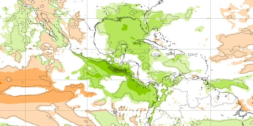
The Euro Weeklies are back to an elevated risk. A couple of weeks ago, it had a moderately elevated risk for the week 5/26-6/1. It later backed off of that. But now the week of 6/9-15 has a significantly elevated risk vs climo fwiw:


-
May 17th-20th severe weather discussion
Chinook replied to Chinook's topic in Central/Western States
south of St. Louis MO, by Caledonia and Potosi -
May 17th-20th severe weather discussion
Chinook replied to Chinook's topic in Central/Western States
Fort Smith, Arkansas, St Joseph, Missouri -
May 17th-20th severe weather discussion
Chinook replied to Chinook's topic in Central/Western States
Confirmed tornado near Fayetteville/Greenland Arkansas a while back -
South Shore rain jackpot incoming. Congrats!
-
0z Nammy gets southern VT and Northern Berks pretty good
-
if it happens at night it doesnt matter if its July
-
That’s why I’m joining the warministas club. It’s all heading that way.


.thumb.png.4150b06c63a21f61052e47a612bf1818.png)


