All Activity
- Past hour
-
c'mon you can't be feeling a chill at your age lol
-
Damn..are you able to zap it with antibiotics?
-

Hurricane Erin: 140 MPH - 935 mb - NW @ 12
Wannabehippie replied to BarryStantonGBP's topic in Tropical Headquarters
2:00 PM EDT Mon Aug 18 Location: 23.5°N 71.1°W Moving: WNW at 10 mph Min pressure: 937 mb Max sustained: 140 mph -
Feels like Christmas only less humid.
-
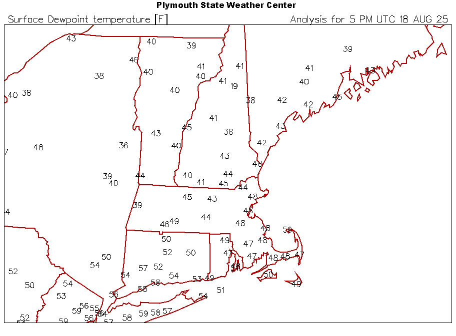
 Yeah. I'm at 0.46" month-to-date (actually back to 7/27). Among the driest in the state (at least for CoCoRaHS). https://maps.cocorahs.org/?maptype=precip&units=us&base=std&cp=BluYlwRed&datetype=mtd&displayna=0&dc=0.9&key=dynamic&overlays=state,county&bbox=-76.86859130859376,39.65645604812829,-72.25433349609376,41.44066745847661
-
Well Lyme Phil got me. Time for all of us to nuke everything in site until we grow a third arm. Fuck these things.
-
65/49 This is ideal weather when watching an early October Pats game.
-

Hurricane Erin: 140 MPH - 935 mb - NW @ 12
TPAwx replied to BarryStantonGBP's topic in Tropical Headquarters
Thanks for taking action. FYI for others. I had placed BGP on ignore but continued to see their posts. Had to manually toggle off visibility option in my settings to suppress posts and other activity. -
This thing is one bad turn away from having an few outer rainbands scrape portions of the eastern seaboard. At the very least, this will be a decent surf/tidal event. The wording is warranted, IMO.
-

NEW DISTURBANCE: Central Tropical Atlantic (0/50)
WxWatcher007 replied to BarryStantonGBP's topic in Tropical Headquarters
Odds up at 2pm Tropical Weather Outlook NWS National Hurricane Center Miami FL 200 PM EDT Mon Aug 18 2025 For the North Atlantic...Caribbean Sea and the Gulf of America: Active Systems: The National Hurricane Center is issuing advisories on Hurricane Erin, located near the Southeast Bahamas. Tropical Atlantic: A tropical wave located over the eastern tropical Atlantic is producing limited disorganized showers and thunderstorms. Environmental conditions appear conducive for gradual development of this system, and a tropical depression could form toward the end of the week. This system should move westward to west-northwestward at about 20 mph across the central tropical Atlantic and approach the vicinity of the Leeward Islands on Friday. * Formation chance through 48 hours...low...10 percent. * Formation chance through 7 days...medium...60 percent. $$ Forecaster Roberts -

Hurricane Erin: 140 MPH - 935 mb - NW @ 12
Scott747 replied to BarryStantonGBP's topic in Tropical Headquarters
Plenty of his posts have been either deleted or edited recently. For the most part he has taken the hint after some advice behind the scenes. If a poster is continuing to be annoying, either put them on ignore or report them. -
Hurricane Erin: 140 MPH - 935 mb - NW @ 12
WxWatcher007 replied to BarryStantonGBP's topic in Tropical Headquarters
Count me in this group. Erin did mount a bit of a comeback, but the structural changes and shear has taken a toll. Still a dangerous storm to be sure, but just entering a new phase of its life cycle as it turns north and expands dramatically. Here's the last 10 hours on IR. Perhaps of note (or not), both the 12z HAFS and Euro pull this significantly closer to the Outer Banks. There have been some modeling head fakes, hence my skepticism, but as we know Erin has been pulling more west at times. Flooding will be the major issue there, but it looks like a TS watch may be justified later today. Even though it won't be a direct hit, I hope Outer Banks folks are taking this seriously. -
 I see 12z Euro now gives us a significant amount of rain Wednesday. Keeping my fingers crossed because we really need it. Almost nothing here over the last month.
 -
So many people posting fake videos on Tik Tok about Erin hitting the coast
-
So many people posting fake videos on Tik Tok about Erin hitting the coast
-

Hurricane Erin: 140 MPH - 935 mb - NW @ 12
MonumentalNole replied to BarryStantonGBP's topic in Tropical Headquarters
Is it possible to restrict Barry's posting to the banter thread. Has contributed literally nothing this entire time and has been clogging up the thread with nonsense. -

2025 Short Range Severe Weather Discussion
A-L-E-K replied to Chicago Storm's topic in Lakes/Ohio Valley
-
Agree. Cold and windy in mid August is not what the people want. Maybe a nice day for a big hike, or for KDX to do some tree murder, but that's about it. Good thing the HHH returns for the weekend.
-
Evacuation Orders on the Outer Banks. Absolutely fascinating watching the evolution. Beating a dead horse for one last time. Yah, Yah, Yah I know... -------- I'm squarely at ground zero (only 10D to go) for the next
-

Hurricane Erin: 140 MPH - 935 mb - NW @ 12
Windspeed replied to BarryStantonGBP's topic in Tropical Headquarters
I concur. It looked like it was really going to take off again this morning, but concentric banding and increasing shear are keeping Erin's core in check. The windfield continues to expand. Slill a large and powerful major hurricane, but it should weaken, albeit slowly, from here on out. -

2025 Short Range Severe Weather Discussion
Chicago Storm replied to Chicago Storm's topic in Lakes/Ohio Valley
The SPC is too hung up on that struggling MCS across S WI and N IL. Main focus will be south near remnant outflow, which is partially washing out to the far west in IA. E IA into N IL will be more of the focal point for new development this afternoon. -
Solid garden variety storm
-

Hurricane Erin: 140 MPH - 935 mb - NW @ 12
NorthHillsWx replied to BarryStantonGBP's topic in Tropical Headquarters
I think we’re in the slow weakening phase now. With the core looking disrupted and wind expanding in all quadrants and the system now experiencing some northerly shear (which its northerly motion now put it directly in the line of fire with) I expect a slow rot of intensity. Likely remains a major through midweek but I believe we’ve already witnessed our secondary peak -
Not what I want to hear. Moving my daughter into ODU on Wednesday. Don’t need rain. Will be windy enough from Erin approaching
- Today
-
Lots of U30s