All Activity
- Past hour
-
luckily there is no wind with this sleetfest
-

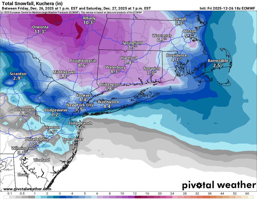
Wounded Duck Strikes Back: Dec 26 & 27th Winter Storm Obs
Hoth replied to WxWatcher007's topic in New England
Sure are. I’ve had a whole season with less snow than I’m forecast to receive tonight. -
-

Central PA Winter 25/26 Discussion and Obs
Jns2183 replied to MAG5035's topic in Upstate New York/Pennsylvania
I think she may be more like us when it ends with observations currently from that neck in the woods. Those people I feel horrible for. Having a 6"+ snowfall pulled from under there feet by the waa gods. Going to be a lot of sad little kids. Sent from my SM-S731U using Tapatalk -

26th-27th event, coming at us like a wounded duck.
bristolri_wx replied to Go Kart Mozart's topic in New England
-
(002).thumb.png.6e3d9d46bca5fe41aab7a74871dd8af8.png)
Boxing Night Snow/Sleet/Ice Dec 26-27 Storm Thread/Obs.
ChescoWx replied to Mikeymac5306's topic in Philadelphia Region
Driveway covered with sleet accumulation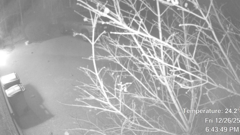
-

26th-27th event, coming at us like a wounded duck.
vortex95 replied to Go Kart Mozart's topic in New England
I worked w/ CoastalWx for over 10 years at WSI. Now work as contractor for NESDIS in College Park MD. Grew up and lived in N Woburn until coming here. I am contemplating moving back when I retire (not for a while still though). -

26th-27th event, coming at us like a wounded duck.
WinterWolf replied to Go Kart Mozart's topic in New England
Went from nothing 15 minutes ago..to heavy snow and everything covered. -

Wounded Duck Strikes Back: Dec 26 & 27th Winter Storm Obs
The 4 Seasons replied to WxWatcher007's topic in New England
Pound me town -

Wounded Duck Strikes Back: Dec 26 & 27th Winter Storm Obs
EastonSN+ replied to WxWatcher007's topic in New England
Long overdue? We got hit by 4 the other week. -
Long Island is probably still fine. Not sure about Queens Brooklyn Bronx or NYC though unless that line stops like the 12/3Km NAM showed
-
Euro does
-

26th-27th event, coming at us like a wounded duck.
CoastalWx replied to Go Kart Mozart's topic in New England
Hrrr still makes me nervous -
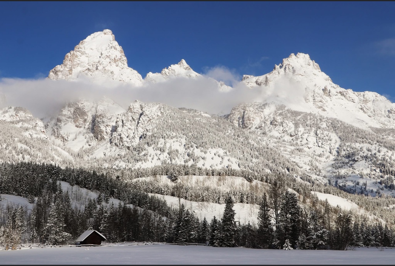
You’re good. To me winter is not just having snow. To me it’s cold & with snow thrown in every so often. Winter is the only time we really get cold & it’s nice to not be sweating. I feel December has been great up until this warm period. Below is a pic of the Grand Tetons today. I absolutely love the mountain west. I hope everyone enjoys the pic.

-
26th-27th event, coming at us like a wounded duck.
CoastalWx replied to Go Kart Mozart's topic in New England
he’s a good met. He realized he had his hands full when I came aboard. -
Mesoscale Discussion 2276 NWS Storm Prediction Center Norman OK 0541 PM CST Fri Dec 26 2025 Areas affected...Upstate NY to eastern Long Island...including parts of southern New England Concerning...Heavy snow Valid 262341Z - 270545Z SUMMARY...Heavy snow bands will spread/develop southeast across upstate NY toward southern New England over the next few hours. Snow rates of 1-1.5"/hr are expected. DISCUSSION...Low-amplitude short-wave trough is progressing southeast across western NY/PA early this evening. Latest water-vapor imagery depicts a notable midlevel vort max southwest of Syracuse, and this is reflected well in radar data. Multiple heavy snow bands have developed ahead of this vort max, strongly influenced by low-level warm advection, extending across upstate NY into the lower Hudson Valley. Boundary layer moistening supports this with dew points now rising into the mid teens (F) where snow rates are increasing. Over the next few hours snow rates are expected to increase downstream across western CT and Long Island, largely in response to this well-defined short wave digging toward the northern Middle Atlantic. Snow rates of 1-1.5"/hr can be expected prior to the short wave passage. ..Darrow.. 12/26/2025 ...Please see www.spc.noaa.gov for graphic product... ATTN...WFO...BOX...OKX...ALY...PHI...BGM...
-
A little burst to coat everything about an hour ago, just flurries since
-

26th-27th event, coming at us like a wounded duck.
40/70 Benchmark replied to Go Kart Mozart's topic in New England
No, not you...some of the emojis..... -
Just under 2” here, like 1.8”. Flake size increasing again.
-

Wounded Duck Strikes Back: Dec 26 & 27th Winter Storm Obs
WinterSnow replied to WxWatcher007's topic in New England
It was doing nothing despite the radar showing snow over us, and I was getting worried. I went outside and it was doing NOTHING. I looked outside within a minute after that and it was coming down heavy. Like an off and on switch. The accumulation is already starting. -

Boxing Night Snow/Sleet/Ice Dec 26-27 Storm Thread/Obs.
Birds~69 replied to Mikeymac5306's topic in Philadelphia Region
Nope. But I think I know what you're talking about. This event was historic and happened in the 90s. Heavy freezing rain with temps in the low 20s all night. The road accumulated inches of ice which lasted for several weeks.... took forever to melt. The roads formed several inch deep "groves" where if your tire became stuck in that groove you were screwed. Wherever that groove ended your car ended. (tree, curb?) You couldn't steer out of it. Completely nuts. Completely screwed my suspension. RedSky knows all about this event and probably can provide a date.. -
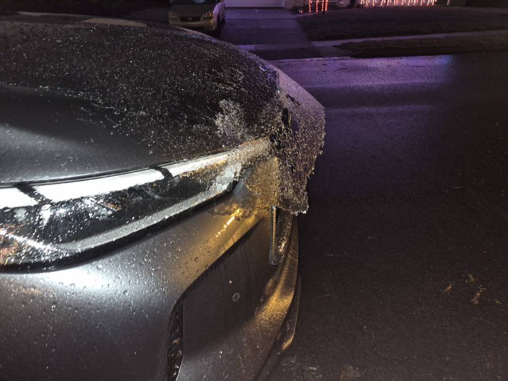
Central PA Winter 25/26 Discussion and Obs
Jns2183 replied to MAG5035's topic in Upstate New York/Pennsylvania
I have any awesome ice sculpture on the car. Roads are gone now. Complete ice encasement Sent from my SM-S731U using Tapatalk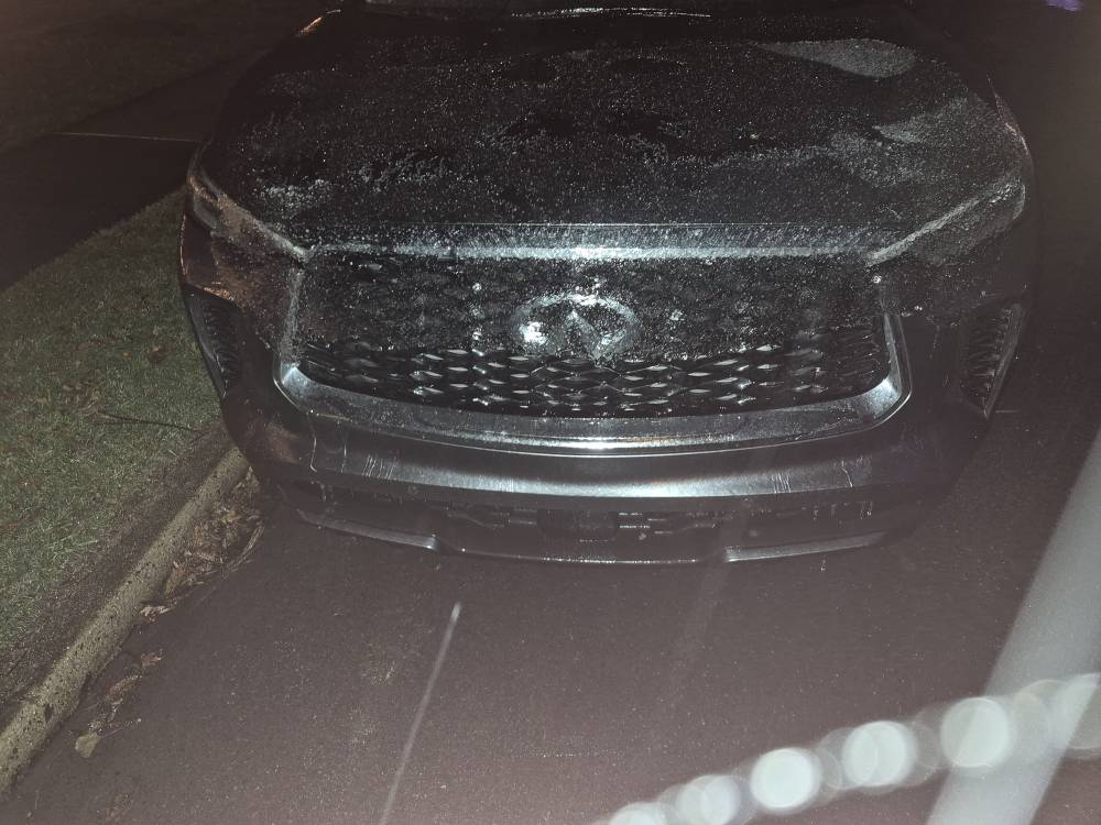
-

Wounded Duck Strikes Back: Dec 26 & 27th Winter Storm Obs
Spanks45 replied to WxWatcher007's topic in New England
Just about 2 inches already...just measured in multiple spots....heaviest snow of the night so far falling now...21.2⁰ -
26th-27th event, coming at us like a wounded duck.
40/70 Benchmark replied to Go Kart Mozart's topic in New England
Something tells me it's vice versa -

Central PA Winter 25/26 Discussion and Obs
CarlislePaWx replied to MAG5035's topic in Upstate New York/Pennsylvania
I know the feeling. Once again, my sister back in north-central NJ (near Morristown), hits the snow jackpot. Mt Holly has them picking up 5-9", the highest total anywhere in Mt. Holly's CWA. Meanwhile around here...the mixtures continue. Temp has risen a tad now up to 28.6 degrees with a dew point of 25 and a wet bulb of 27.3. That means there is still some room left to drop back again if I can get some heavy stuff going for a while. The latest update from CTP for the Carlisle area has the main part of this storm winding down in about 3 hours with very little additional the rest of the night.