All Activity
- Past hour
-
12z Euro torches for a few days even has 100's in parts of SNE
-
Some pretty significant flash flooding last night here in culpeper county. Driving around between 10-11pm. Had to turn around several times. Seems it will not take much today to cause issues!!!!
-
We’ve heard this before, yet here we are in mid June at 2pm, 60 degrees
-
And yet June average is over 6 degrees warmer than September.
-

E PA/NJ/DE Summer 2025 Obs/Discussion
RedSky replied to Hurricane Agnes's topic in Philadelphia Region
Rain and 59F Merry Christmas and Happy new Year -
Gorgeous amount of humidity
-
It's always surprising how few SDDs you accumulate, given the snowfall. My 75.6" produced 1,319 SDDs, 98% of your total, despite having only 37% of the snowfall. Days 1"+: 128, 127 cons. Days with 10"+: 57, 43 cons. Days with 20"+: only 3, deepest 22" on Feb. 16.
-
Slowed down a bit here, 0.57
-
close to nothing here and the dry air is moving S now....
-
Mod - heavy rain and 0.63 in the bucket.
-
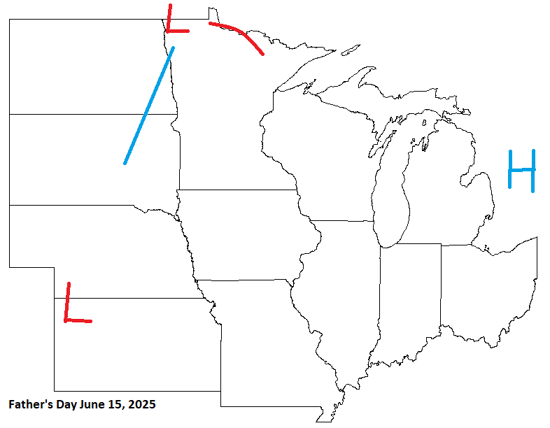
Ended up with 2.13” in a very short amount of time. 4” on the nose for the month in MLP. Now in Richmond for Fathers Day and hope we get some goods later on with a juicy airmass.
-
Is that rain that is currently in central PA going to reach here later today?
-
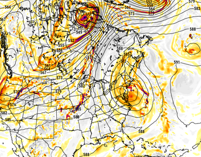
Keep in mind .. the ensemble mean will 90 some percent of the time or more be less than an operational version's amplitude - particularly out in time when individual members tray off into processing fantasies. I mean that's just an unavoidable circumstance of arithmetic, where the entire envelope thus contains both bignormous fantasies, but also, very nominal sad dreams hahaha. That is why an EPS mean like this at 200+ hours ... signifies there are not a lot of low members. Anyway, this chart straight up is dead nuts textbook big heat signaling.
-
No our news said the last dry weekend was actually April 17-18 The good news is this WILL be the last wet weekend, the rain party comes to a screeching end after this abysmal storm dies.
-
We have received 0.53" of rain (all on June 3rd) since May 22nd. This is the time of year when we average 1.25" per week. The lawns are beginning to brown.
-
Decent call here with shwrs/stms entering the sub. Didn't indicate a boundary along the OHRV, tho. Wet wx down that way, as well.
- Today
-
Was looking at the ensembles. Perhaps the output for the longer term is not the best way gauge the actual weather in terms of temps and dews. It also seems like the areas where we want the heat and humidity to be above normal when the flow we need to kick in doesn’t seem so. The southeast doesn’t seem to be having particularly above normal HHH weather which is usually present when we start to get it as well. I will fully admit I’m paying more attention this summer than usual, so my understanding of correlation of models to patterns may be lacking. I’m also not predicting a cold snap, after Thursday and Friday I just wasn’t seeing a lot more than 85/65 until late in the period.
-
Water temps are over 70 for most of September-whereas now they are 60-65
-
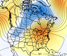
Following up on the 2024-2025 winter summary, I’ve put together the season’s storm list for our site. The number of storms was above average, but below the 64 storms we had in the 2018-2019 season.

-
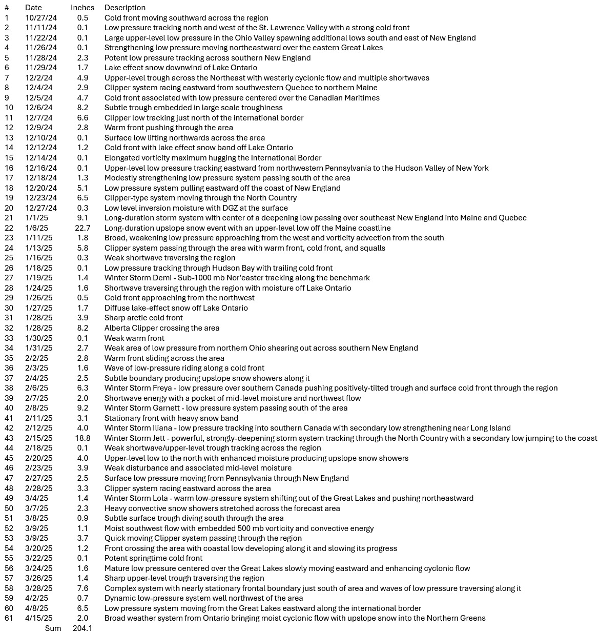
i mean look at the eps 00z mean .. . that's a big time signal for 200 hours boys -

-
Very little support from the GEFs ensemble system wrt the operational run doing that with that big closed summer ending menace. The 00z had it, the 06z diametrically reversed and had big number heat implied ... 12z vacillated all the way back to the 00z run... so big yo-yooing that doesn't conform to the ensembles/telecon is highly suspect as the GFS being the Good For Shit model
-
Gfs is so broken.
-
GFS at the same time... LOL
-
2nd place temp behind 49 (1947). Top 5 cool wx here in TH with temps in the lower 50's. 55 in Brainerd was record low max. Also looks like 2nd place temps in Eau Claire, and Wausau. Include St Cloud in there too.
-
Ended up with 1.43 total. It is incredibly humid for mid June


.thumb.JPG.418e8a9a2902ae687ec35ff4bc0e038e.JPG)