All Activity
- Past hour
-

July 2025 Discussion-OBS - seasonable summer variability
steve392 replied to wdrag's topic in New York City Metro
63 and gorgeous out -

July 2025 Discussion-OBS - seasonable summer variability
TWCCraig replied to wdrag's topic in New York City Metro
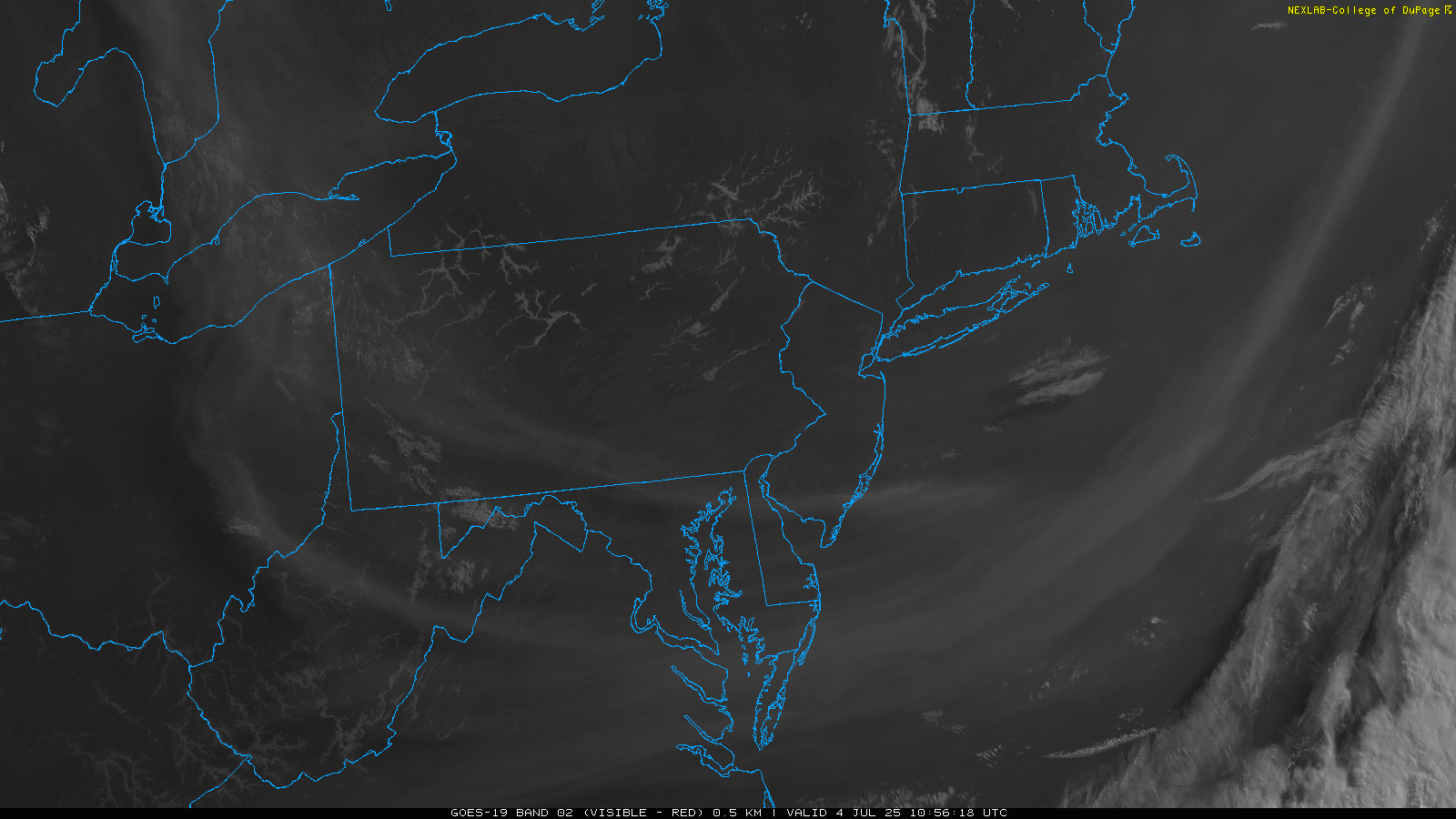
Low of 61.3 this morning. Some elevated wildfire smoke in the skies today unfortunately but the majority of it should stay away from the area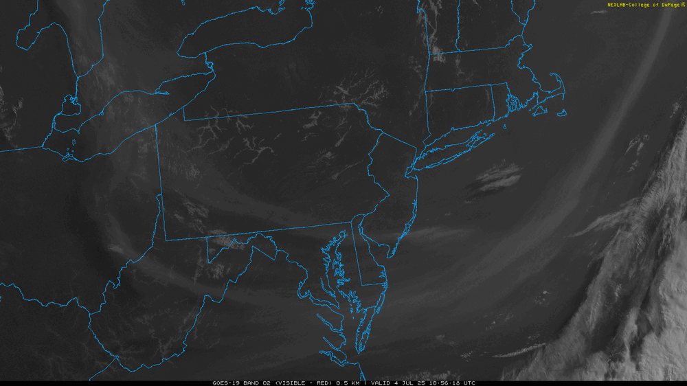
-
Yea. That would seemingly fit a descending solar max peak (but still elevated solar and geomag) and -QBO being unfavorable for predominant -AO/-NAO winter blocking. The low arctic sea ice also playing a role IMO
-

July 2025 Obs/Disco ... possible historic month for heat
kdxken replied to Typhoon Tip's topic in New England
Not hot. Back and forth. -
Crazy warm SSTs off the East Coast. Could see some homegrown tropical systems later this season. And with all that ridging some of them could be steered west.
-
This extreme subtropical SST warming leads to a semi-permanent -PDO +AMO pattern with amplified subtropical ridges.
-

July 2025 Obs/Disco ... possible historic month for heat
w1pf replied to Typhoon Tip's topic in New England
59/58 bright sun in Holyoke.. gonna be a sparkling day - Today
-
My confidence in a solidly negative PDO winter is growing by the day, -IOD and -PMM seem like good bets as well. As far as ENSO, I’m still favoring a cold-neutral (-ENSO), however I think a weak La Niña is possible, at least in the RONI sense, I can care less what the ONI does. I think the MEI may go into weak Nina territory too given the SOI behavior over the last few months up until the present. The orientation of the ENSO cold anomalies; possible Modoki? Remains to be seen. As far as the Atlantic….the +AMO is never ending
-

July 2025 Obs/Disco ... possible historic month for heat
dendrite replied to Typhoon Tip's topic in New England
Extended looks warm -

E PA/NJ/DE Summer 2025 Obs/Discussion
RedSky replied to Hurricane Agnes's topic in Philadelphia Region
GFS and ECM have 4-5" rain in the extended -

July 2025 Obs/Disco ... possible historic month for heat
ineedsnow replied to Typhoon Tip's topic in New England
cant wait to bump this one ya not even close.. -
Was a nice little thunderboomer with some pea sized hail i love pop up storms
-
After casually watching a window for TC genesis in the Gulf or off the SE coast the last week, the signal began to focus on disturbance spawned by a stalled frontal boundary off the SE coast. A weak area of low pressure has developed and Invest 92L has rising odds to become at least a moisture laden tropical depression as it meanders the next few days. Recon is scheduled to investigate later today. Tropical Weather Outlook NWS National Hurricane Center Miami FL 200 AM EDT Fri Jul 4 2025 For the North Atlantic...Caribbean Sea and the Gulf of America: Near the Southeastern United States (AL92): Satellite wind data indicate that a weak area of low pressure has formed about 100 miles east of Jacksonville, Florida, and is accompanied by disorganized showers and thunderstorms. Environmental conditions are forecast to be marginally conducive for further development, and a tropical or subtropical depression could form near the southeastern United States late today or over the weekend if the low remains offshore. Regardless of development, heavy rainfall is possible across portions of west-central and southwestern Florida through early Saturday, and across coastal sections of the Carolinas beginning later on Saturday. An Air Force Reserve Hurricane Hunter aircraft is scheduled to investigate the system later today. * Formation chance through 48 hours...medium...50 percent. * Formation chance through 7 days...medium...60 percent. $$ Forecaster Blake
-
89'd here today
-

July 2025 Obs/Disco ... possible historic month for heat
bristolri_wx replied to Typhoon Tip's topic in New England
Worst t-storm in years here in Bristol. Ruined my BBQ, messed up the fireworks. Power outages all over the area, lots of trees down. No hail. Thankful I did not put up my tents and just moved the party inside, and didn’t lose any chairs or tables. my neighbor’s were not as lucky. I like a good storm but the timing was quite shitty this time around lol… Happy 4th! -

July 2025 Discussion-OBS - seasonable summer variability
SACRUS replied to wdrag's topic in New York City Metro
rainfall: New Brunswck: 0.97 TTN: 0.26 -
Highs: EWR: 94 TEB: 92 ACY: 92 PHL: 92 LGA: 92 ISP: 90 New BrnswcK: 90 JFK: 90 TTN: 89 BLM: 89* NYC: 88
-

July 2025 Discussion-OBS - seasonable summer variability
SI Mailman replied to wdrag's topic in New York City Metro
Was in North Edison earlier this evening, downed trees and power lines everywhere from the storm -

July 2025 Obs/Disco ... possible historic month for heat
Snowedin replied to Typhoon Tip's topic in New England
Went down to humarock in scituate earlier for a friends party and my god that lightning was incredible. We had a few close strikes right by the beach and people were still lighting off fireworks lol. Ya gotta respect the dedication, despite the insanity! -
July 2025 Discussion-OBS - seasonable summer variability
SACRUS replied to wdrag's topic in New York City Metro
Highs: EWR: 94 TEB: 92 ACY: 92 PHL: 92 LGA: 92 ISP: 90 New BrnswcK: 90 JFK: 89 TTN: 89 BLM: 89* NYC: 88 -

July 2025 Obs/Disco ... possible historic month for heat
RUNNAWAYICEBERG replied to Typhoon Tip's topic in New England
10pm is way past your bed time. Come back fresh tomorrow… -
The family and I spent the day enjoying the 70 degree water at Holland State Park today. Normally don't see that until later in July.
-

July 2025 Discussion-OBS - seasonable summer variability
Wannabehippie replied to wdrag's topic in New York City Metro
What the heck happened to the entire first floor of that second picture. -
July 2025 Discussion-OBS - seasonable summer variability
Wannabehippie replied to wdrag's topic in New York City Metro
I bet the roots of that tree were cut on the sidewalk side, because it was lifting the sidewalk up, then the sidewalk repaired. I am saying this because we do not see the sidewalk lifted up by the tree falling. When I was a kid we had the problem where the town cut the roots on the curb side. Hurricane Belle blew thru, and the tree fell away from the street as a result of the weakened root structure. -
.47 here.