All Activity
- Past hour
-
yes I see it that way too-with maybe the morning stuff being the main event and isolated/scattered late day stuff
-
Just heard my first rumble of thunder. A beautiful 49 degrees here.
-
He’s limp here….
-
He’s lump
-
Quite frankly, those things should have been thrown by the wayside after 2005. That decade from 1995-2005, especially the last 3 years (03-05), is a hyperactive stretch that we are unlikely to see again.
-

Winter 2026-2027 Speculation
Prismshine Productions replied to 40/70 Benchmark's topic in New England
Yep Sent from my SM-S176V using Tapatalk -
Snowing in caribou https://www.skylinewebcams.com/en/webcam/united-states/maine/caribou/municipal-airport.html
-

October 2026 General Discussion
OrdIowPitMsp replied to SchaumburgStormer's topic in Lakes/Ohio Valley
57 today. Overcast but the drizzle held off until this evening. -

October 2026 General Discussion
nwohweather replied to SchaumburgStormer's topic in Lakes/Ohio Valley
Up to 86° here today! What a wild week on deck, lows in the mid 30s by Friday night -
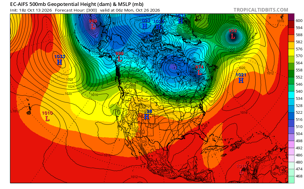
The models are hinting at a block-fest (as depicted on this map) coming our way. Is this typical for a super El Nino fall? Aren't big Ninos usually drag-strip zonal?
-
Ok so the last 5 day away cool shit prediction was 5-7F too cool. This Saturday has been ranging 53-55 for Saturday high predictions so let’s see how this cool shot prediction goes
-
Tell @ineedsnow that!
-
Forget 38 cane, Nov 1950! That would be *way* worse net-net b/c of the areal coverage of the big winds. And we'd less even less prepared b/c ppl do not react as much to storms w/o a name on it or if it is not snow.
-
-
Those posters here that frequented the Blue.. they’re coming for you https://x.com/journalinquirer/status/2109934209020113115?s=46
-
https://falls.uslakes.info/Level/ https://kerr.uslakes.info/Level/ Really bad situation around here shaping up if something doesn’t change
- Yesterday
-
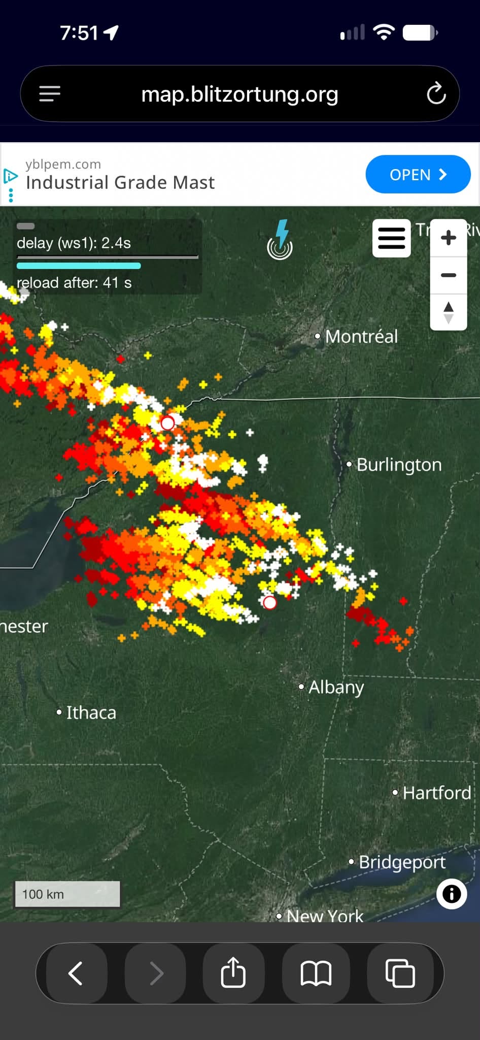
Not bad for Oct. @weatherwiz
-

October 2026 General Discussion
Chicago Storm replied to SchaumburgStormer's topic in Lakes/Ohio Valley
ORD had a high temp of 88° yesterday, which broke the record high max temp for the date of 84° (2008/1960/1956). -
Chicago Weather Records Tracking
Chicago Storm replied to Chicago Storm's topic in Lakes/Ohio Valley
Chicago/O'Hare had a high temperature of 88° on October 12th, which broke the record high maximum temperature for the date of 84° (2008/1960/1956). -
70 today
-

2026 C and E Pacific tropical activity
NorthHillsWx replied to GaWx's topic in Tropical Headquarters
Simon had become quite the microcane. Pretty eye this evening -
The most reputable source for QPF following an event is the stage 4 bias corrected dataset that takes in observations, as well as a wide array of gauge data sources to go along with bias corrected radar estimates. Here's a graphic with the final estimates from the event. This makes a lot more sense for your area.
-
 legit mexican pharmacy: Mex Get Rx - pharmacia mexico
 -
It seems like they bumped up Friday's foretasted temps higher to the mid 70s now...might be the last shot in the city for a while or the rest of the year. Does anyone have a handle on Friday's storms yet? So far it's looking like showers in the morning, a dry midday, and a possible line of storms in the late afternoon/evening but I'm not sure if I'm interpreting the models correctly.
-
https://indigetrx.shop/# buy drugs from india