All Activity
- Past hour
-
there are so many issues with it that go far beyond temperature, like higher rates of asthma and cancer (and light pollution causes cancer too.) not to mention that high rates of processed food consumption lead to obesity, diabetes, heart disease, etc. So urban farming has multiple benefits.
-
Going on 1130 and already have to change shirts at work. Going to be a fun few days. Can feel the air getting thicker as the morning goes on.
-
Models still kind of all over the place with tomorrow's storms. Not expecting much here and I'd trade a middling outcome for the heat, but the HRRR slamming storms into the area late morning/early afternoon would probably be interesting.
-
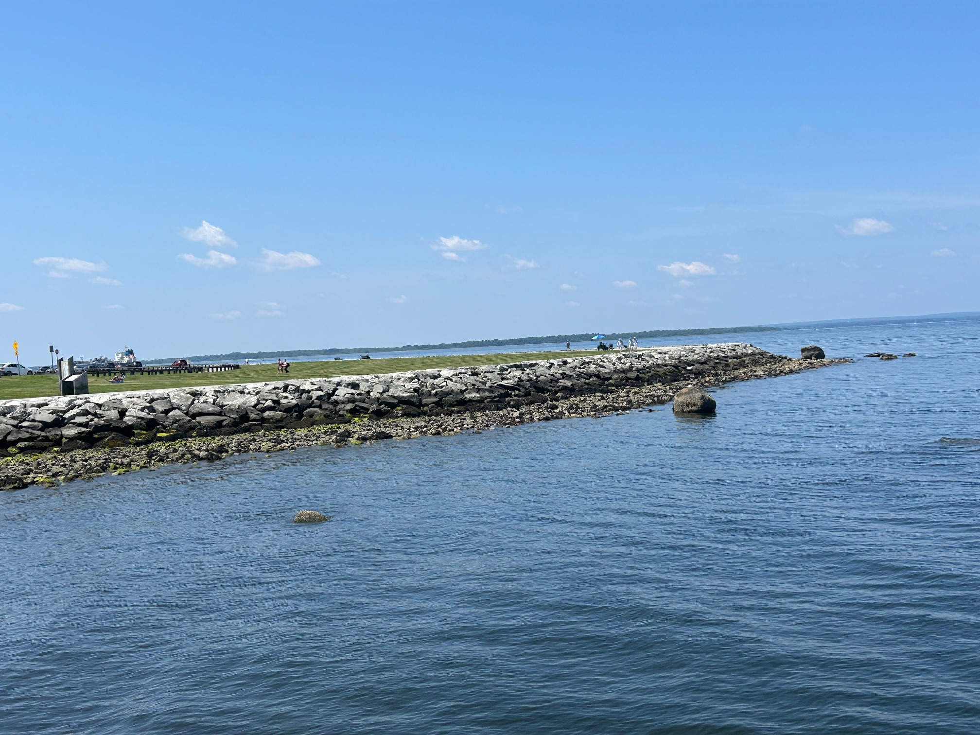
Sunny 77/63 from Colt State Park in Bristol. Enjoy it!
-
MCC cancel? 7-10 split?
-
I’m definitely curious as to what Tuesday’s high will be at ORH. If I’m not mistaken, 96 is the highest temp at the airport since that 99 degree high in 1953? .
-
Mine is 91 for the high, and I’m at 88 at 11 am
-
Back home now. This air mass is a true slap in the face. A big wet slap in the face lol.
-

2025 Short Range Severe Weather Discussion
OrdIowPitMsp replied to Chicago Storm's topic in Lakes/Ohio Valley
Bemidji Minnesota gusted to 106mph last night. Have to imagine there is extensive tree damage up there. -
 Think valid concern especially in the large inner cities and especially with the elderly with minimal resources and support systems to get them to safety. Overnight lows and associated HI readings will be brutal if not prepared. Would not be surprised to see HI readings of 110 or even a bit higher at some point during this hot period. Think most max temperatures top out in the 97 - 102 range but with dews in the m/u 60's to near 70 it will be beastly hot if no a/c, again especially in the inner cities. Believe all warnings justified and hopefully cities will open cooling centers starting tomorrow. Tuesday for sure looks like the worst of it area wide.
 -
Could easily be wrong but the 6z ICON, UKMET AND Euro AI all have a ocean wind component for Monday now. The UKMET especially changed because it was an inferno beforehand.
-
As of 10am Isp 82 Frg 80 Fox 81 Jfk 82 Ewr 82 Teb 81 Smq 81 Lga 79 (ne wind) Jones fricken Beach 81 Mtp 79 NYC 78....
-

June 2025 discussion-obs: Summerlike
HunterdonWxguy86 replied to wdrag's topic in New York City Metro
In my opinion I would toss this. There is really nothing that supports a strong sea breeze. You can make the case along just the immediate coast. Like I said just my take -
MANDA changed their profile photo
-
HunterdonWxguy86 joined the community
-
71.3/64.4 at 10:30 am, fog has just burnt off with a hazy sunshine. Was 59.9 at 7 am.
-
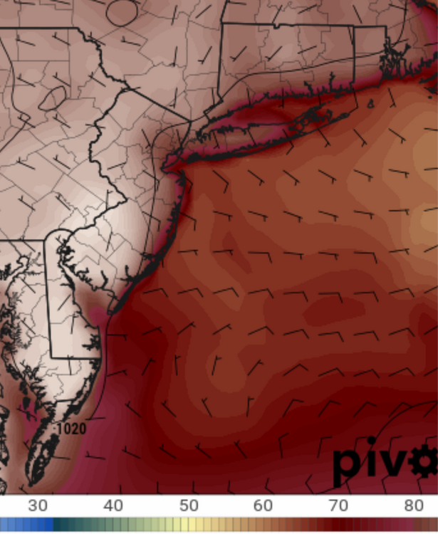
Monday 2PM on 12z NAM:
-
What is happening on the 12z NAM it has east winds and 80s for NYC Monday afternoon hahaha
- Today
-
Likely 1988. First 2 weeks of August were hot and super dewy - TD reached 77 at PWM. I think that's still their highest. GYX now has our town hitting 98 on Tuesday; can't recall ever seeing that hot a forecast here. Since moving to Maine in 1973, I've seen only one day hotter than 95 - August 2, 1975 when BGR hit 102 - and haven't had anything above 93 since moving from Fort Kent in 1985. Of course, both our Gardiner home and current place are in the trees and thus transpirationally cooled.
-
83 / 60 another gorgeous sunny day, especially for weekend.
-
Cedar Rapids, Iowa (78F) will also be a new monthly record high minimum if it holds.
-
The same people that are super pro environment also want to fill every last gap of real estate with housing haha. NYC's UHI has been very pronounced for at least 100 years though, NYC had 8 million people 100 years ago.
-
We DEW it well! https://x.com/bennollweather/status/1936408762463723940?s=46&t=dhcbvkjmRcyBVQtDxJ3lRg
-

2025-2026 ENSO
PhiEaglesfan712 replied to 40/70 Benchmark's topic in Weather Forecasting and Discussion
I don't think the PDO is similar to last year. We still have a -PDO, but I think we're heading towards neutral PDO as we get towards the winter. Progress isn't linear. Just look at 2013, which drifted back a bit into the negative during the summer: 2013 -1.10 -1.42 -1.48 -0.72 -0.40 -1.19 -1.34 -1.56 -1.00 -1.65 2025 -1.28 -1.40 -1.12 -1.16 -1.71 -
March and April were very dry. May and June have been wet. March dropped 1.38" which was 39% of normal. April gave 1.66" which was 49% of normal. May gave 5.42 which was 151 % of normal. To date, June has dropped 5.34" which is 211% of normal thru. June 21. The Valley is very green compared to a year ago.
-
Thunderstorms stayed south of the airport. I don’t think we dropped below 81. Feels like New Orleans out here.
-
and yet in the "suburbs", they continue to fill in the spaces between the spaces...