All Activity
- Past hour
-
Central PA Fall Discussions and Obs
DDweatherman replied to ChescoWx's topic in Upstate New York/Pennsylvania
Snow this morning underway to get us in the mood -

First Winter Storm to kickoff 2025-26 Winter season
HoarfrostHubb replied to Baroclinic Zone's topic in New England
That BOX map is only thru 7PM Tuesday. Still several more hours of precip but yeah. It’s awful -
Nov 28-30th Post Turkey Day Winter Storm
totsata replied to Chicago Storm's topic in Lakes/Ohio Valley
-

First Winter Storm to kickoff 2025-26 Winter season
Ginx snewx replied to Baroclinic Zone's topic in New England
Yes GFS is definitely converging. From up over RI to this. Soundings are saturated here below 0 c with a bump to 33/34 at the surface. Thumpity my name is Humpity -
Nice burst of snow has laid down a dusting here. 34°. Winds S13 G23.
-
Better for all
-

First Winter Storm to kickoff 2025-26 Winter season
CoastalWx replied to Baroclinic Zone's topic in New England
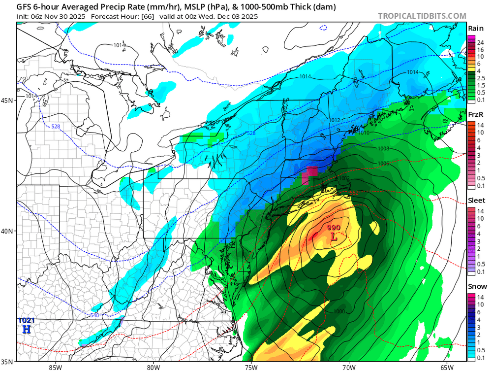
Can we get Nam dynamics with gfs/euro position? -
6z brings it back similar to Tuesday but a few degrees colder.
-

First Winter Storm to kickoff 2025-26 Winter season
CoastalWx replied to Baroclinic Zone's topic in New England
I don’t understand how it goes out like that without someone seeing it? -
Flurries in McLean!!! First flakes of the season!
-
BWI: 18.9” DCA: 15.7” IAD: 22.1” RIC: 12.5” SBY (TB): 11.5”
-
-
Light snow.
-

December 2025 regional war/obs/disco thread
Baroclinic Zone replied to Torch Tiger's topic in New England
-

First Winter Storm to kickoff 2025-26 Winter season
dendrite replied to Baroclinic Zone's topic in New England
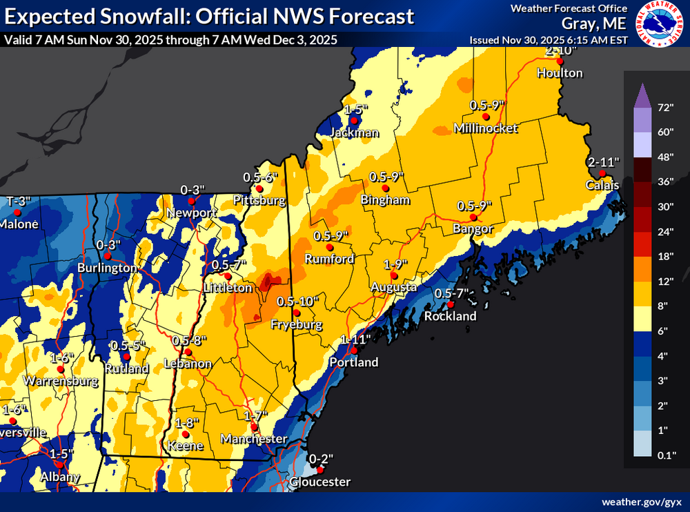
1-11” for PWM Good luck with your prep. -

First Winter Storm to kickoff 2025-26 Winter season
CoastalWx replied to Baroclinic Zone's topic in New England
6z AI close to 00z. -
E PA/NJ/DE Winter 2025-26 Obs/Discussion
Duca892 replied to LVblizzard's topic in Philadelphia Region
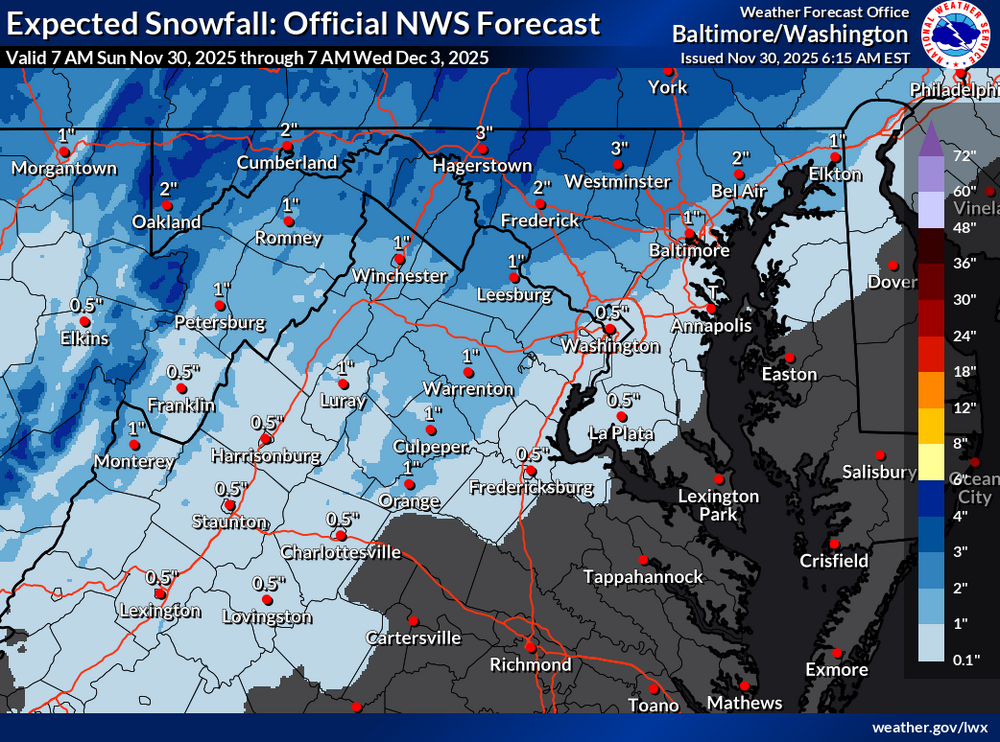
Could be looking at a nice 2-4in for many here in the mid Lehigh Valley area and a lovely excuse to work from home on Tuesday -

First Winter Storm to kickoff 2025-26 Winter season
CoastalWx replied to Baroclinic Zone's topic in New England
Those maps are ridiculous. -

First Winter Storm to kickoff 2025-26 Winter season
CoastalWx replied to Baroclinic Zone's topic in New England
6z euro still fighting the dual low but very similar to 00z. Getting stability there. -

E PA/NJ/DE Winter 2025-26 Obs/Discussion
penndotguy replied to LVblizzard's topic in Philadelphia Region
So we are looking at a potential true Miller A type of storm for Tuesday with the L coming out of the gulf states and a cold air source to the North. When was the last time we saw type of setup? It’s been a while. -
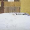
Car topper with sleet currently falling
-
Central PA Fall Discussions and Obs
pawatch replied to ChescoWx's topic in Upstate New York/Pennsylvania
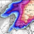
Hope everyone is right. Getting my blower out and fueled up today. Hope it not a jinx…but need to make sure it’s running. Mag nice write up! Blizz Thanks! -
First Winter Storm to kickoff 2025-26 Winter season
mahk_webstah replied to Baroclinic Zone's topic in New England
Obviously GYX was aggressive for a reason. I wasn’t paying close enough attention. Looks like we have a decent 1st storm with cold to keep it and squalls in Thursday to freshen it and then more at the weekend. -

First Winter Storm to kickoff 2025-26 Winter season
dendrite replied to Baroclinic Zone's topic in New England
-

First Winter Storm to kickoff 2025-26 Winter season
Baroclinic Zone replied to Baroclinic Zone's topic in New England
And you’re welcome everyone. Juju.

