All Activity
- Past hour
-
Tomorrow and Tuesday will be cooler days. Rain is likely on tomorrow into tomorrow night. Some locations could experience a thunderstorm. The potential exists for a general 0.50"-1.50" rainfall. No excessive heat appears likely through at least June 25th. A warming trend could commence during or after the next weekend. Some of the guidance suggests that hot weather could return to conclude June. The ENSO Region 1+2 anomaly was +2.6°C and the Region 3.4 anomaly was +1.3°C for the week centered around June 3. For the past six weeks, the ENSO Region 1+2 anomaly has averaged +1.95°C and the ENSO Region 3.4 anomaly has averaged +0.98°C. The ongoing El Niño will continue to strengthen through the summer. The SOI was -5.98 yesterday. The preliminary Arctic Oscillation (AO) was +0.096 today. Based on sensitivity analysis applied to the latest guidance, there is an implied near 87% probability that New York City will have a warmer than normal June (1991-2020 normal). June will likely finish with a mean temperature near 73.9 (1.9° above normal). Supplemental Information: The projected mean would be 2.5° above the 1981-2010 normal monthly value.
-
Nam is 1 to 3" all in less than 6 hours
-
Wow!! Finally cashing in. That's great!
-
I had ~0.05” yesterday evening, which brought me up to ~4.4” MTD.
-
.thumb.jpg.6a4895b2a43f87359e4e7d04a6fa0d14.jpg)
Central PA Summer 2026 Discussion/Obs Thread
Yardstickgozinya replied to Voyager's topic in Upstate New York/Pennsylvania
Yes, apparently, if the sun can break through, that'll be key in that possible evolution. -
61 degrees midday with steady rain on first day of astro. summer is something I do like, but I must admit it also feels wrong. Checking Chicago-area climo for June 21-22, this kind of first day of summer happens maybe once a decade. The last four years have all had heat right around the solstice. The last year with a notably cool and rainy spell around the solstice was 2018.
-

Central PA Summer 2026 Discussion/Obs Thread
canderson replied to Voyager's topic in Upstate New York/Pennsylvania
Oh sorry I meant the axis loos like it might miss a decent part of our region with the bulk of precip with the SW to NE axis. The WC games in Philly and NJ tomorrow will be interesting -
Looks like heaviest rains Monday and Tuesday Rt 2 north?…As long as I see .50” or more down here I will be happy
-
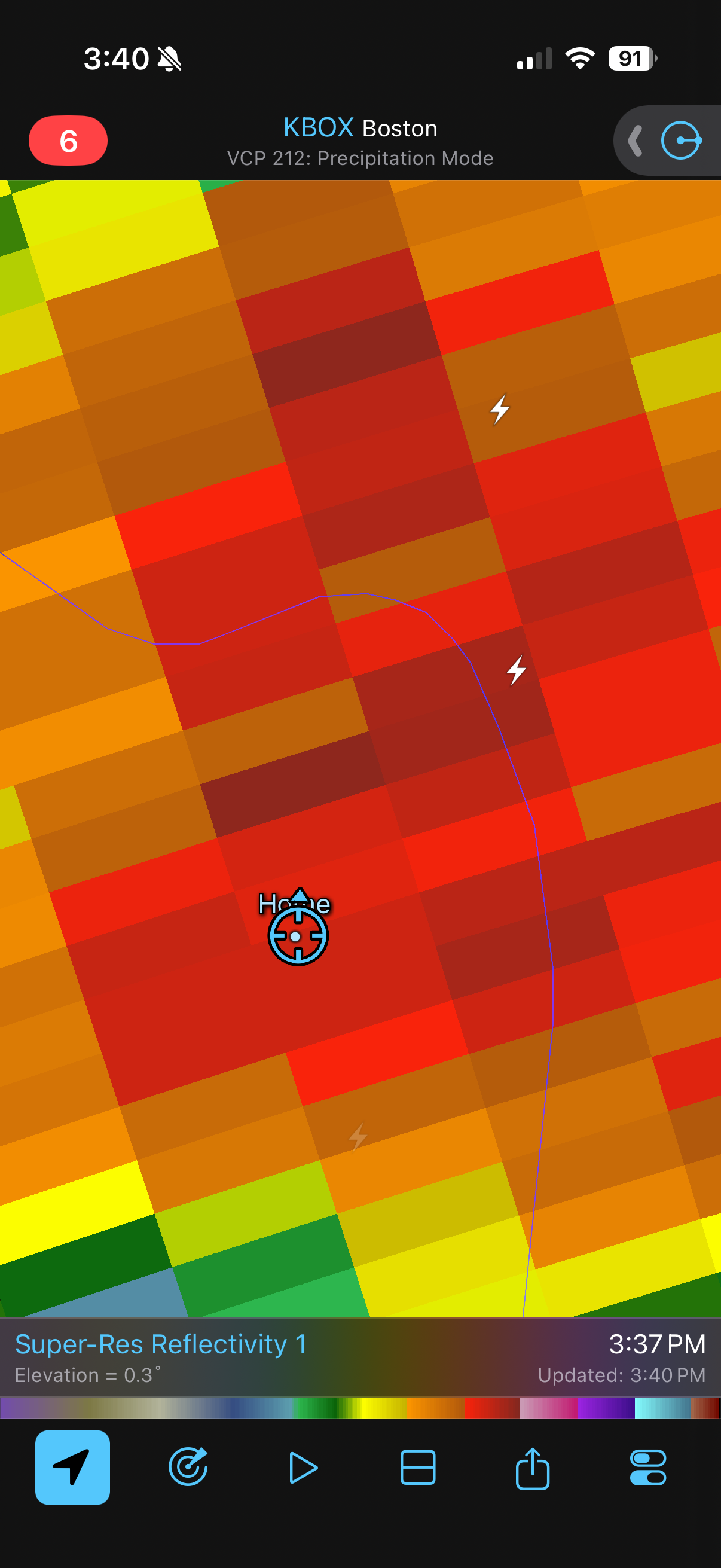
Have had 3 absolutely house shakers. Huge positive discharges .

-
Downpour and a little wind. One thunder
-
This is now the 3rd time in the past month or so that the GFS has shown 100+F temps. The Euro isn't biting with a strong high out west, which it's been showing for several runs now. I think we need another GFS rewrite. It's such a warmista.
-

Junorch obs and discussion 2026
TauntonBlizzard2013 replied to Damage In Tolland's topic in New England
I agree. And even going back further than that it hasn’t been good. Lawns are already cooked here. -
Third absolute downpour of the last 2 hours.
-
Well played, Tip .
-
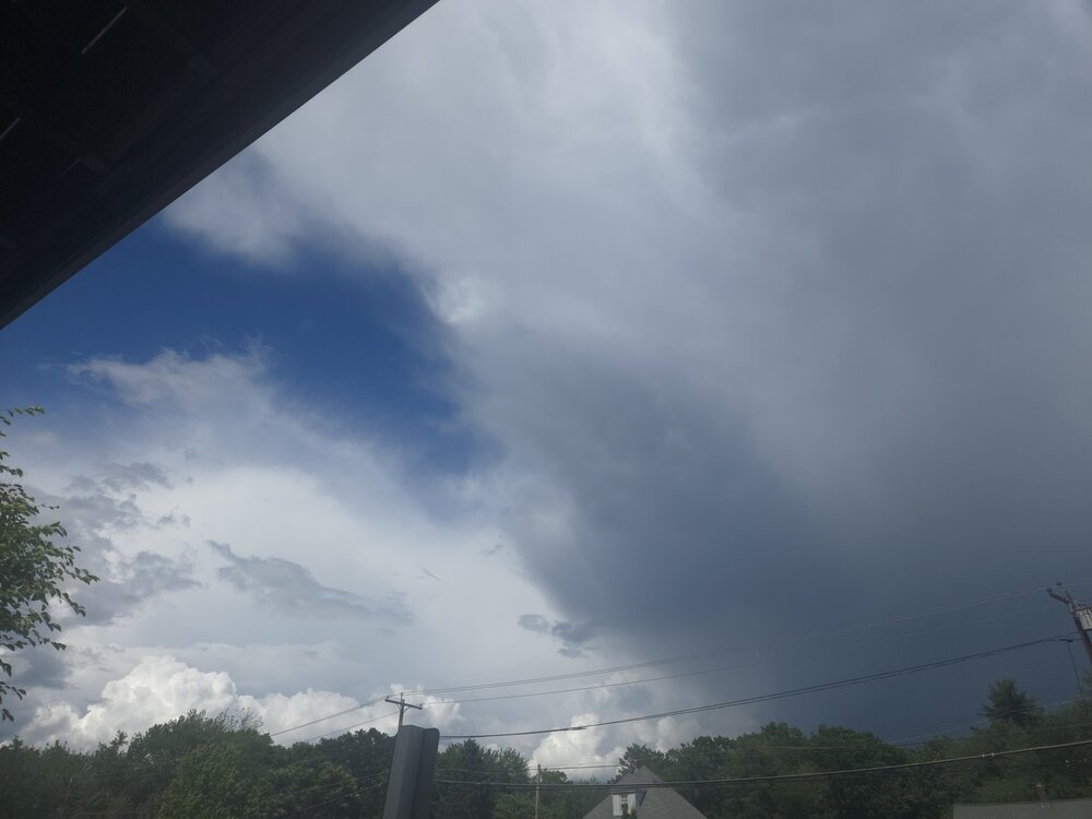
What a rainy afternoon. Another one tomorrow.
-
Nice high efficiency soaker. Just blew by the 1 inch mark and it's pouring very nicely.
-
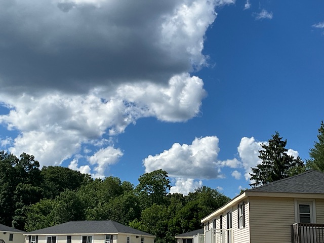
Another stellar summer day. Low 80s and low humidity. We take all day.
- Today
-
-
Ineedsnow, is that you?
-
Will it be relentless?
-

Central PA Summer 2026 Discussion/Obs Thread
Itstrainingtime replied to Voyager's topic in Upstate New York/Pennsylvania
SPC has upgraded much of the LSV south and east of 81 to a SLGT tomorrow. And this one looks like it has legs in regards to potential spinners. -
It's probably going to be the typical northern track of the bulk of the precip, while we wait to see what develops to the south of the main area. And if it's too cloudy tomorrow, will that stunt development? Probably.
-
Signals getting stronger for a significant heat dome D8-11
-
Euro and gfs are pretty wet up here. Love it. Let’s get drenched.
-
12Z euro shaft zone just south of the city


.thumb.gif.f92b16c631a1d15d405ed77b33f0710d.gif)


