daxx
-
Posts
1,401 -
Joined
-
Last visited
Content Type
Profiles
Blogs
Forums
American Weather
Media Demo
Store
Gallery
Posts posted by daxx
-
-
-
1 minute ago, bubbler86 said:
29/26 with light frz rain here right now...more than a drizzle but not hard by any means. Of note is that it was 31 at one point an hour or two ago.
What I meant to say is under some of the darker blips on the radar I have light sleet falling. Nothing heavy falling.
-
Mag is right,went from drizzle to light sleet. I can see heavier echoes on radar.
-
3 minutes ago, Itstrainingtime said:
Been reading a lot of opinions from respected mets to watch for the first full week of March.
I like March snow (okay, any snow) because of shorter wave lengths and more dynamics at play in the atmosphere. If something can blow up in early March it might be special.
I shoveled my driveway an hour ago and the pavement is 100% wet. 2/20 solar radiation for the loss.

We just gotta make it through this spring like weekend. After this blip I think we will be tracking threats again. Heck we might be tracking threats before it even turns cold again. I think that you are right that something special could be coming. It would be a great way to close winter.
-
End of euro run so close to something big.
-
 1
1
-
-
Bubbler hour 168 to 174 has some light snow. Definitely not like yesterday’s 12z run.
-
Just now, bubbler86 said:
Do you have the capability to peek at the Euro for 7 days from now?
Only out to hour 129
-
-
Just now, Itstrainingtime said:
It's really picking up here as well. Vis is way down...close to heavy snow now.
Yea give me two hours of this and I'll be satisfied.
-
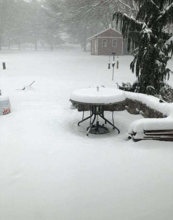
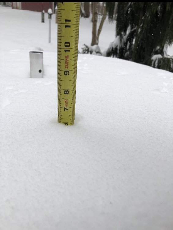
Pounding snow now. Time for Jeb walk!
-
 1
1
-
-
Just now, bubbler86 said:
Yea, it is pouring snow here right now. Saw @Cashtown_Coop just posted a lightning strike in Wesatern MD. That gives @MAG5035 a verification for his "call" of thundersnow. I would think you guys will saturate pretty soon.
Good call lol! Steady snow falling now.
-
 1
1
-
-
Bubbler86 the radar just south of you looks tasty! Dry air winning here, just flurries.
-
First flakes falling now. Temp 28
-
 1
1
-
-
Nice band on radar right over me! Only problem is not a flake from it. I was hoping by 7 it would be reaching the ground.
-
5 minutes ago, bubbler86 said:
Final call...
Been watching (and posting!) a lot of models the last 3 days to try and derive how they depict moisture getting up into the PA area. It seems the trend is for two general blobs of moisture with one mostly bypassing us to the south and the other concentrating in the southern half of PA (if you toss the Nam's depiction which is much different). Jetstream maps seem to keep the entrance regions of the jet steak a bit north of PA so it comes down to frontogenesis and qpf being thrown over our cold dome. My opinion is that S Central PA is in the bullseye right now especially near the MD line so…all of this is before ice. The Euro has about 1.5" of qpf for most of us so there is a lot of ice (and some rain) on top of this.
@Cashtown_Coop, @bubbler86 7-9" with some near one foot totals near the area.
@MAG5035 6-8"
@CarlislePaWx @Blizzard of 93 5-7"
@canderson @djr5001 @sauss06, @2001kx, @paweather, @daxx, @Voyager 4-6"
@Wmsptwx @pasnownut, @pawatch 3-5"
Nice I'll take that and like it!
-
I know we are focused on this event for tomorrow but the Euro really just went big for next Tuesday night into Wednesday! Too bad it is a week away!
-
 2
2
-
-
1 minute ago, paweather said:
I would pay more attention to the upper levels than those snowfall maps. If we get a good band over us early we will do well. If we wait until afternoon the warm air surge at 700mb will cut snowfall totals back. It would be a great sleet storm for awhile. Its just the nam there is plenty of models to go.
-
 1
1
-
-
6 minutes ago, bubbler86 said:
Nam continued to advertise a Northern PA max snow accumulations. A bit of a dry slot up into the LSV.
Yea... If nam is right the lsv snowfall totals will be a good amount less. I don't like waiting for good precip in this set up.
-
We really need this to come in hot and heavy from the start. If we wait for the heavy precip, 700s will be cooked by the time good precip gets here. Just me worrying I hope.
-
 1
1
-
-
7 minutes ago, Ruin said:
Any chance that snow shield in western central PA makes it into harrisburg area? it looks pretty sizable but these things normally break apart or dry up. Also when if at all will a post be made about the late sunday snow and tues night snow chance?
I know you mentioned the later two events but I would pay attention to the Saturday snow chance first. We are starting to see a bump north on models. I Would not be shocked if we end up with a couple inches out of it.
-
21 minutes ago, bubbler86 said:
Regardless of snow maps and sleet vs snow the 18Z has a nice 1-2 shot and is certainly deserving of a warning if its depiction is close to correct.
Yea this is kind of crazy. A cutter like this and we might be seeing a warning level snow/ice event. When do you return? The long range is starting to look very interesting.
-
5 minutes ago, Flatheadsickness said:
finally some gd respect for my superior weather forecasting ability's. Its kanjer cakes for all of us this time around I tell ya starting tonight. The moose biscuits will move in by tomorrow afternoon hopefully by 4:20 pm . The hot air from the schumerpelosi BS belt should stay well south down around DC so the whole thing doesn't melt away quicker than it falls. Should the shumerpelosi BS belt lift north a little dont be surprised to wake up with a little BS in your back yard.
Huh?
-
 1
1
-
-
18z Euro definitely looking good for at advisory type snow to ice. We go to rain as well Tuesday into Wednesday morning with temps reaching mid to upper 30s. Staying near freezing up by state college. Not a bad run.
-
30 minutes ago, Voyager said:
Hopefully the final week of February torches the west and allows for cold in the east.
Haha...I had to do a double take at this! You must be headed west.


Central PA Feb/March 2019 Disco: More Snow In Our Future?
in Upstate New York/Pennsylvania
Posted
12z Euro cold and dry for next week. Next Saturday evening gives us some snow. Low just off the Virginia/ North Carolina coast. Really close to a nice hit. More snow moving in from the southwest at hour 240.