All Activity
- Past hour
-
Waiting for your 5"+ report.
-

-
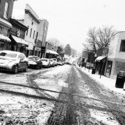
Snowing. Fatties. 36
-

80 Degrees to Ripping Snow: March 12th
stormtracker replied to SnowenOutThere's topic in Mid Atlantic
Sure hope this will stop all of the BS "it can't stick after 80 degrees" type of talk. This notion just continues to persist, even after countless times of it happening. -
That was the last time many locations near the coast had a 10”+ snowstorm after February with the exception of our local snow capital back in 2018. Maximum 2-Day Total Snowfall for NEWARK LIBERTY INTL AP, NJ After February Click column heading to sort ascending, click again to sort descending. 18.2 1956-03-19 0 15.8 1915-04-04 0 - 15.8 1915-04-03 0 14.8 1958-03-21 0 13.9 1960-03-04 0 12.8 1982-04-07 0 - 12.8 1982-04-06 0 12.7 1993-03-14 0 - 12.7 1956-03-20 0 12.5 1960-03-03 0 12.1 1941-03-09 0 12.0 1941-03-08 0 - 12.0 1924-04-02 0 - 12.0 1924-04-01 0 - 12.0 1852-03-18 0 - 12.0 1852-03-17 0 11.9 1993-03-13 0 11.5 1896-03-16 0 11.0 1867-03-18 0 - 11.0 1867-03-17 0 10.5 1851-03-08 0 Maximum 2-Day Total Snowfall for ISLIP-LI MACARTHUR AP, NY After February Click column heading to sort ascending, click again to sort descending. 18.4 2018-03-22 0 17.0 1967-03-22 0 16.0 1982-04-07 0 - 16.0 1982-04-06 0 15.0 1967-03-23 0 14.9 2018-03-21 0 13.5 2009-03-02 0
-
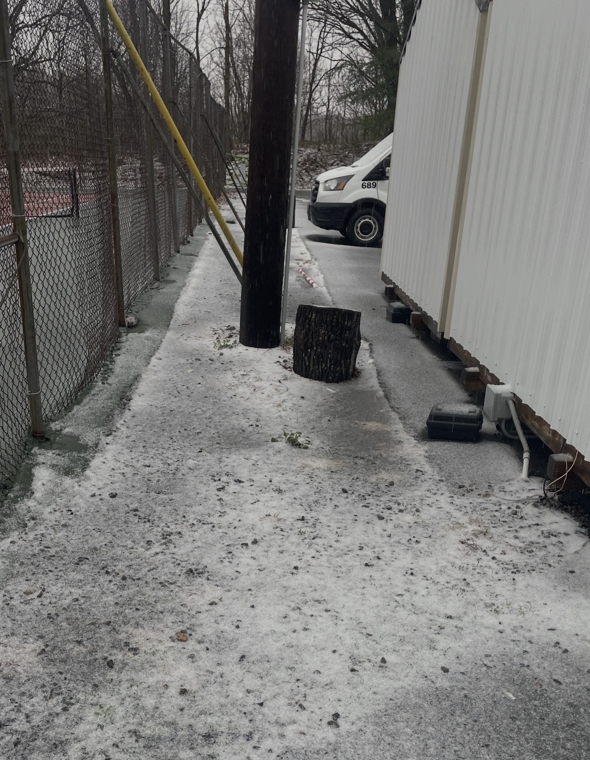
Clarksburg, MD SN+ @10:30 am
-
80 Degrees to Ripping Snow: March 12th
Grothar of Herndon replied to SnowenOutThere's topic in Mid Atlantic
36/33 Mix rain, sleet, and snow -
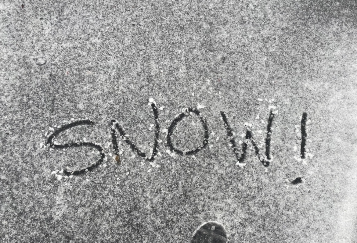
37. moderate snow. Crazy.
-
I'm pretty sure that even something half that size is going to wreck your shit. That photo is basically an 1700's cannonball smacking your melon.
-
sleet changing to mostly snow
-

80 Degrees to Ripping Snow: March 12th
MN Transplant replied to SnowenOutThere's topic in Mid Atlantic
Wet snow mixing in and out. 37.4 -

Central PA Spring 2026 Discussion/Obs Thread
CarlislePaWx replied to Voyager's topic in Upstate New York/Pennsylvania
So far this morning here in Carlisle...the radar continues to show precip overhead with the rain about to transition over to snow. However, it's all virga. Nothing is reaching the ground. Temperature continues to slowly drop, and is now down to 38.5 degrees. Winds are gusty. -
Snow or white rain just started in Waynesboro-pretty large flakes...
-

80 Degrees to Ripping Snow: March 12th
WesternFringe replied to SnowenOutThere's topic in Mid Atlantic
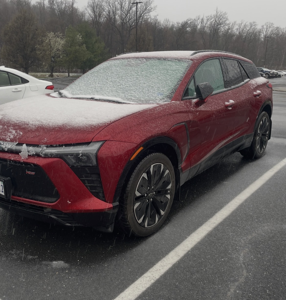
I knew it was going to snow today, but the accumulation is surprising. 35 degrees here in Augusta County NW of Staunton.
-
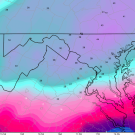
Loving the radar. Not often we have this orientation without the back edge rolling through before it even gets started
-
Snow mixing in, in Fairfax City.
-
Good, good.
-
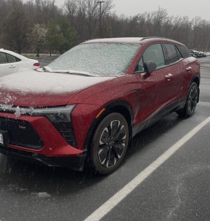
Flakes mixing in Great Falls. 38.7
-
Philadelphia is a whopping 1.1° or three days behind DC from a sun angle equivalence perspective.
-
Snowing in suitland.
-
Central PA Spring 2026 Discussion/Obs Thread
CarlislePaWx replied to Voyager's topic in Upstate New York/Pennsylvania
I wasn't sorry to see what those impressive pictures were showing to my north. I wonder if NWS will investigate? I guess they always do whenever a tornado touches down. I recorded 0.09" since midnight, 0.43" yesterday with about half that occurring in the morning and the rest in the evening. 2-day storm total of 0.52", and now 1.94" total liquid for the month. The heaviest rain appears to have bypassed me both to the north and to the south. Blue mountain causes unexpected things (weather-related) to happen. The worst for me is down sloping of any snow shower activity that just dries up frequently. -
10:25am, east side if Columbia: pingers but 40.5°, temp slowly falling.
-
Rippin sleet aleet! Snow gotta be close…
-
80 Degrees to Ripping Snow: March 12th
WesternFringe replied to SnowenOutThere's topic in Mid Atlantic
Down to 36 and pouring fatties with a little sleet mixing in! No rain at all in the last hour. -
My Discobs for today... RUDE