All Activity
- Past hour
-
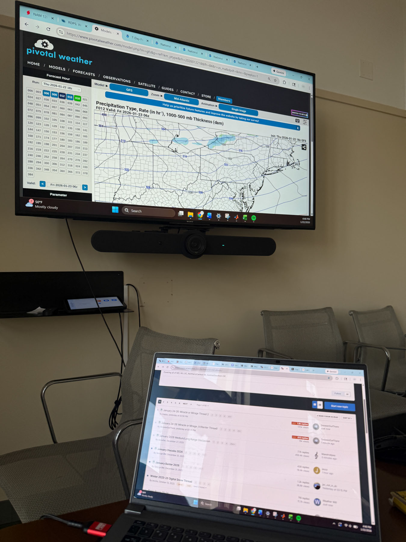
GFS is definitely flatter a tad further south with the precip shield so far
-

Possible Record Breaking Cold + Snow Sunday 1/25 - Tuesday 1/27
David-LI replied to TriPol's topic in New York City Metro
What if they have a secret extremely accurate AI model that we don't know about ? -
Now I like the first glance of the GFS. .
-

1/24-1/25 Major Winter Storm - S. IL, IN, MI and OH
A-L-E-K replied to A-L-E-K's topic in Lakes/Ohio Valley
Tth -

Possible Record Breaking Cold + Snow Sunday 1/25 - Tuesday 1/27
SACRUS replied to TriPol's topic in New York City Metro
18Z GFS -

Possible Record Breaking Cold + Snow Sunday 1/25 - Tuesday 1/27
BoulderWX replied to TriPol's topic in New York City Metro
That’s not even close to accurate so no need to debate with you -

Possible Record Breaking Cold + Snow Sunday 1/25 - Tuesday 1/27
SnoSki14 replied to TriPol's topic in New York City Metro
Well they average like 5x we do so yeah -

January 24-26: Miracle or Mirage JV/Banter Thread!
WxUSAF replied to SnowenOutThere's topic in Mid Atlantic
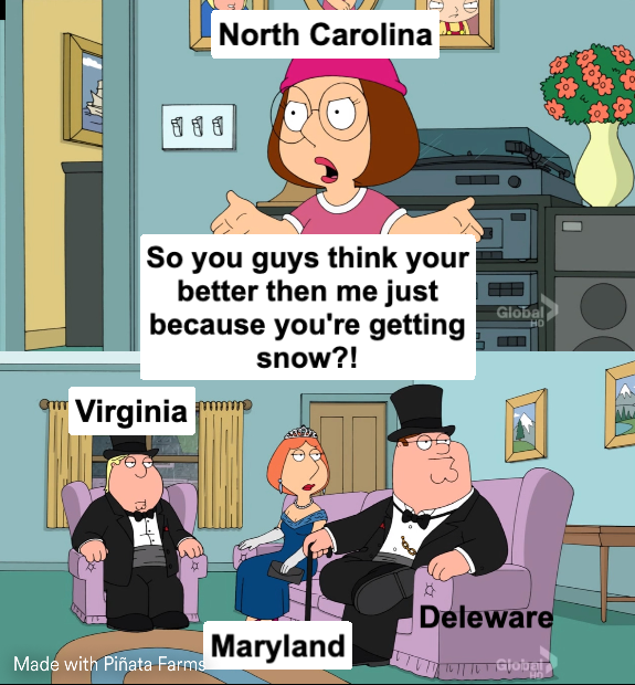
And we (probably) got it way better than the NC weenies… Too much info is 100% a problem with this hobby. With the way models roll out now, there’s almost always a new model run to look at. Round the clock. Like a social media algorithm designed to keep you clicking. Most effective method for me is to put my phone in a different room and leave it there. Plan to do it again at 7pm tonight. -
 I wouldn't hug an unreliable model, we know this is a possible outcome but no other model is showing that sharp of a cutoff.
 -

January 24-26: Miracle or Mirage JV/Banter Thread!
clskinsfan replied to SnowenOutThere's topic in Mid Atlantic
I don't think this one is going to completely fall apart though. Won't be historic for snow. But it will be for the ice and temps. It's going to be cold a fuck bro. -
 odd post...most models are showing 6-12 not 12-18
 -

Possible Record Breaking Cold + Snow Sunday 1/25 - Tuesday 1/27
psv88 replied to TriPol's topic in New York City Metro
If you follow the new england forum they will disagree. It has not been a stellar season at all, including NNE. Only the upslope areas have really done well. Everyone else is average. Also, good luck basing your forecast on the Icon. -
Ready for the GFS

-

January 25/26 Jimbo Back Surgery Storm
ObiWanKarlNobi replied to Jimbo!'s topic in Southeastern States
-

January 24-26: Miracle or Mirage JV/Banter Thread!
baltosquid replied to SnowenOutThere's topic in Mid Atlantic
Ya know, obviously I want the GFS to be right for the snow BUT I would love to see the apology forms roll out for it as well. Too bad it‘s probably caving as I type. Maybe. I haven’t looked! -
Gimme flat. Need flatter flow.
-
Possible Record Breaking Cold + Snow Sunday 1/25 - Tuesday 1/27
BoulderWX replied to TriPol's topic in New York City Metro
Yes I know I just think it’s wildly high based on guidance. I have no doubt the they’ll adjust downward by tomorrow. -

January 24-26: Miracle or Mirage JV/Banter Thread!
Scraff replied to SnowenOutThere's topic in Mid Atlantic
Weather models being a close 2nd!? lol. -

“Cory’s in LA! Let’s MECS!” Jan. 24-26 Disco
TheSnowman replied to TheSnowman's topic in New England
NOT FOR ME!!!!!! -

Possible Record Breaking Cold + Snow Sunday 1/25 - Tuesday 1/27
TriPol replied to TriPol's topic in New York City Metro
North and West receiving more snow than NYC mid to south NJ or Eastern LI. Excluding the ICON (a joke) everyone gives the immediate NYC area more snow. -
“Cory’s in LA! Let’s MECS!” Jan. 24-26 Disco
TheSnowman replied to TheSnowman's topic in New England
I'm done. It's Totally Over. The ONLY FLIGHT left that is possible and wouldn't go through Nashville or BWI early morning Sunday with SW which will get canceled, is a $2000 JetBlue RedEye This is Over. -
39..confluence or flow out in front is flatter
-
Is the system ever going to get here?
-
Yeah the NAM will be excellent for the midlevel warm nose once we’re inside a couple of days. It has to get the synoptics correct first which it usually takes until about 36-48h out.
-
 12z GFS was snowier but let's see if it holds now.