All Activity
- Past hour
-
Kind of reminded me of April 1, 1997, too.
-
1.66 Boned again.
-
Greens are going to be a little soft tomorrow.
-
Rain totals 5/21 - 5/23 (9AM) New Brnswck: 1.75 EWR: 1.13 NYC: 1.09 JFK: 1.01 LGA: 0.79
-

2025-2026 ENSO
40/70 Benchmark replied to 40/70 Benchmark's topic in Weather Forecasting and Discussion
I know Chris was not in this camp, but I remeber when a large contigent of folks were theorizing that the favorable extra tropical Pacific last decade was a semi-permanent change due to CC, too. -
Sunscreen is horrible. Lots of crap in them. MAHA
-
Clearing line rapidly moving West to East.
-
Cool period dep EWR: 5/19: 73 / 52 (-1) 5/20: 71/50 (-3) 5/21: 59 / 50 (-10) 5/22: 53 / 50 (-13) NYC: 5/19: 69 /51 (-4) 5/20: 67 / 49 (-6) 5/21: 59 / 49 (-11) 5/21: 51 / 48 (-15) LGA: 5/19: 70 / 52 (-4) 5/20: 68 / 50 (-6) 5/21: 59 / 49 (-11) 5/21: 53 / 48 (-15) JFK: 5/19: 74 / 53 (+3) 5/20: 69 / 50 (-3) 5/21: 58 / 50 (-8) 5/21: 55 / 49 (-10)
-
2025-2026 ENSO
40/70 Benchmark replied to 40/70 Benchmark's topic in Weather Forecasting and Discussion
You mean there is a positive correlation between the equatorial Pacific waters during the summer and the subsequent winter season NAO? -
Low of 57 this morning. Love it.
-
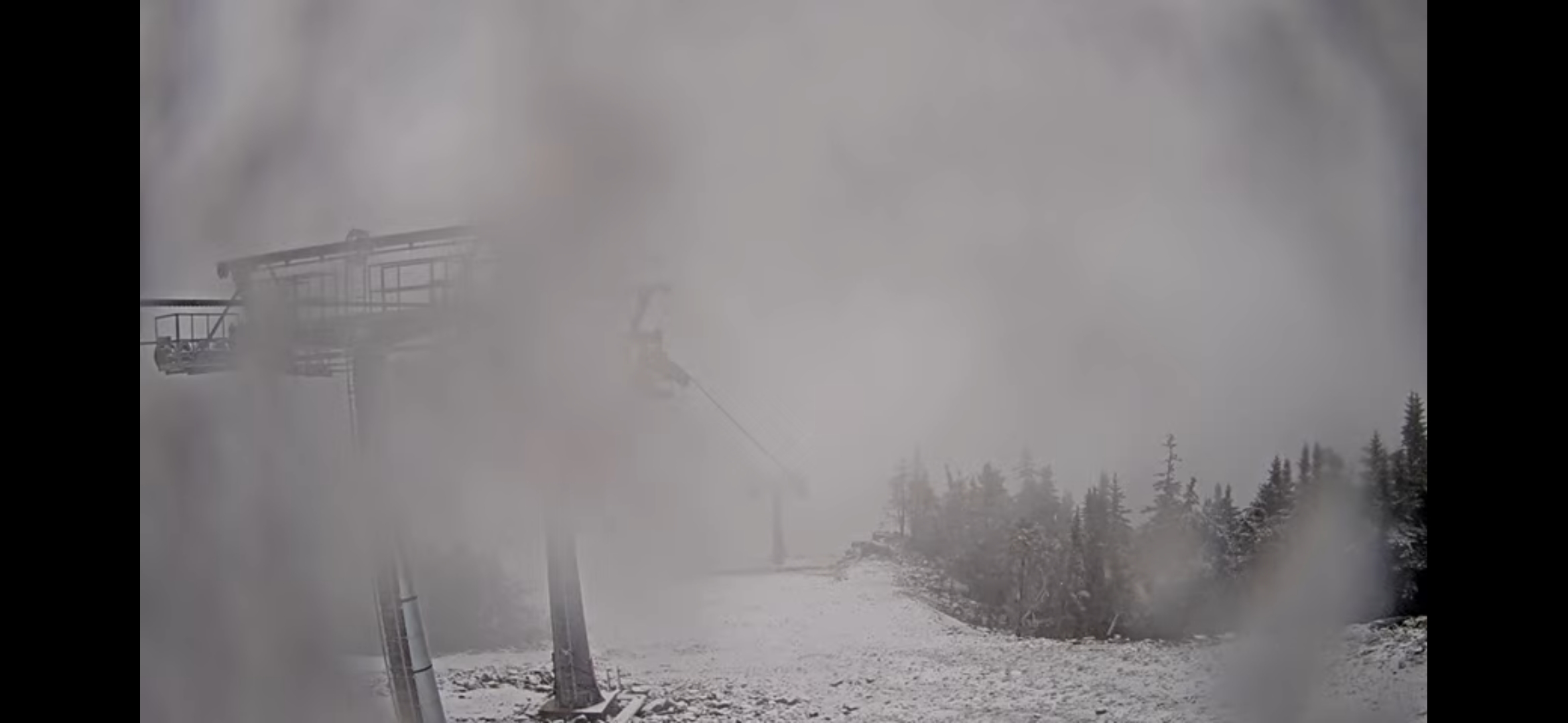
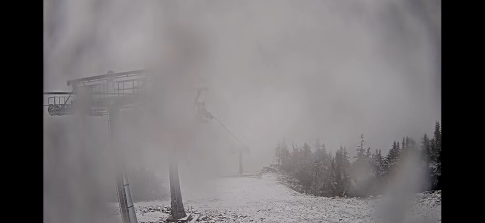
Sugarloaf and Sunday River

-
Eh, glad the lawns got another drink and we can still get a coastal storm under the right conditions. The storm also would’ve evolved differently in the winter.
-
M4.67" precip for the month. RSTM2 COOP site. Very happy to see this. The stream at the farm where we keep our horse is finally running again.
-
As of the latest update(yesterday) a small area in north central MD- much of Baltimore county and parts of Carroll and Harford- are still in a severe drought. Areas surrounding that are Moderate. Better further east- my yard is on the edge of abnormally dry, and nothing points S and E from there. But yeah there has been marked improvement in the past couple weeks. Not sure why he wouldn't be discussing that rather than being a hypester.
-
1.12” for the week, and looking forward to a perfect weather weekend.
-
Breaking 100+ year old cold records, I thought it was impossible. Shocked there were no posts about it from all the stat geeks here (not really). Almost the same here, 1.56"
-
Minneapolis v Paducah May average temperature update. MSP: 60.5 PAH: 66.4 Yesterday was our first high above 60 since the 16th. Temperatures look to stay average/slightly below average through the next week.
-
I’m going to need spf 500 on monday
-

E PA/NJ/DE Spring 2025 Obs/Discussion
JTA66 replied to PhiEaglesfan712's topic in Philadelphia Region
1.70" A little more than 9" for the month 52F -
Coastal pulling away and lingering rain into NY
-
Euro still not updating there but it is more similar to the GFS with trough still clinging to the northeast (ish) 5/30 - 6/1). Heights poised to rise in the 6/5 - beyond.
-
He couldn't say, but If I had to hazard a guess I'd think there would be some flakes flying there too.
-
Coastal low slowly pulling away in the northeast and pronounces breaks and clearing into PA. Perhaps by noon we can get into breaks of sun or better - heres hoping
-
Records: Highs: EWR: 96 (1964) NYC: 94 (1964) LGA: 94 (1964) JFK: 92 (2021) Lows: EWR: 43 (1931) NYC: 43 (1963) LGA: 45 (1963) JFK: 33 (2022) Historical: 1882 - An unusual late season snow blanketed eastern Iowa, with four to six inches reported around Washington. (David Ludlum) (The Weather Channel) 1953 - The temperature at Hollis OK soared from a morning low of 70 degrees to an afternoon high of 110 degrees to establish a state record for the month of May. (The Weather Channel) 1987 - It was a busy day for thunderstorms in the central U.S. Thunderstorms produced wind gusts to 65 mph at Shreveport LA and golf ball size hail at Marfa, TX. Hobart, OK, received 3.55 inches of rain in the morning, and another 4.03 inches of rain that evening. Thunderstorms in Nebraska produced 8.5 inches of rain in two hours north of Potter, and 7.5 inches of rain in ninety minutes north of Minatare. Thunderstorms in Colorado produced five inches of hail at Greeley. (The National Weather Summary) (Storm Data) 1988 - Thunderstorms produced severe weather across much of the eastern U.S. Golf ball size hail was reported in Georgia, Maryland, North Carolina, South Carolina and Ohio. (Storm Data) (The National Weather Summary) 1989 - Severe thunderstorms developing along a cold front resulted in 98 reports of large hail and damaging winds in the Northern Plains and Upper Mississippi Valley. Golf ball size hail caused a million dollars damage around Buffalo City, WI, baseball size hail was reported at Northfield and Randolph, MN, and thunderstorm winds gusted to 95 mph at Dunkerton, IA. (The National Weather Summary) (Storm Data) 1989 - Unseasonably hot weather continued in the south central U.S. Pueblo, CO, equalled their May record with a high of 98 degrees, and the high of 106 degrees at Midland, TX, marked a record six straight days of 100 degree heat. (The National Weather Summary) 1990 - A cold front crossing the western U.S. produced snow over parts of Oregon, California, Nevada, Idaho and Utah, with five inches reported at Austin NV, and four inches at Crater Lake National Park in Oregon. Strong winds behind the cold front sharply reduced visibilities in blowing dust over central California, and two multi-vehicle accidents resulted in one death and eighteen injuries. In northern Idaho, a cloud-burst washed tons of topsoil, and rocks as large as footballs, into the valley town of Culdesac. (The National Weather Summary) (Storm Data) 2002: A Pacific storm system brought some much needed snow to the Colorado Mountains and foothills with a mix of rain on the Plains. Snowfall totals included: 13 inches at Coal Creek Canyon, 11 inches near Evergreen, CO. The former Stapleton International Airport at Denver reported less than an inch. Three temperature records were set. The morning low temperature of 31° was a record low; as was the morning low of 32° the following morning. The high temperature of only 48° equaled the record low maximum.
-
2025-2026 ENSO
40/70 Benchmark replied to 40/70 Benchmark's topic in Weather Forecasting and Discussion
I really don't understand how waiting for more data and a larger sample can be wrong.... I don't disagree regarding what has been happening, but I think any implications concerning the future, aside from general warming, need to be tempered for now.