All Activity
- Past hour
-

First Legit Storm Potential of the Season Upon Us
brooklynwx99 replied to 40/70 Benchmark's topic in New England
bro what -

January 2026 regional war/obs/disco thread
ORH_wxman replied to Baroclinic Zone's topic in New England
The January formula for having a chance to save this winter: 1. Don’t get skunked Sunday (at least give a chunk of the region a few inches…doesn’t need to be massive) 2. Grab a warning event out of the SWFE pattern late next week/weekend 3. Grab a major event out of the El Niño +PNA pattern between 1/26-1/30. -
This is your storm, make it so
-
First Legit Storm Potential of the Season Upon Us
WeatherGeek2025 replied to 40/70 Benchmark's topic in New England
this reminds me of Nemo but the opposite. euro was on the western front that time showing 36 inches for NYC, ended up with like 8 inches. also gfs ended up showing the most eastern solutions than lost it for a day than brought it back! Euro never wavered until the storm was about to hit! this reminds me of that but the opposite meaning GfS should start showing western hits again by tonight the latest otherwise my theory is wrong. Also euro isn't as good since that last upgrade a few years back and -

January 2026 regional war/obs/disco thread
CoastalWx replied to Baroclinic Zone's topic in New England
Yeah, the op runs are finally showing some hits now. Now we can officially switch gears. -

January 2026 Medium/Long Range Discussion
WeatherGeek2025 replied to snowfan's topic in Mid Atlantic
i said this earlier... anyone have a memory of what happened three days before nemo hit. how did the models behave? this reminds me of Nemo but the opposite. euro was on the western front that time showing 36 inches for NYC, ended up with like 8 inches. also gfs ended up showing the most eastern solutions than lost it for a day than brought it back! Euro never wavered until the storm was about to hit! this reminds me of that but the opposite meaning GfS should start showing western hits again by tonight the latest otherwise my theory is wrong. Also euro isn't as good since that last upgrade a few years back and -

First Legit Storm Potential of the Season Upon Us
ORH_wxman replied to 40/70 Benchmark's topic in New England
Let’s get the euro something better than a Cape scraper. At least get some advisory stuff to E MA coast and we’ll have something to work with at 3 days out. -

January 2026 regional war/obs/disco thread
ineedsnow replied to Baroclinic Zone's topic in New England
GFS is storm after storm -
Well the column is cold all the way to the warm ground for this 18z GFS run ... Wet, wet snow west of Raleighwood. Cold slushy rain east.
-
Upstatewhitelocustfan started following Jan 17-18 Sunday Funday Storm
-
I see his ego still rules his decisions The only time I can remember knowing for 2 weeks that it was going to snow, it was just a matter of how much precip would occur, was in 2014 and cae had a beautiful slider that left mby with the most snow I've ever had here. It was gone by 10am the next morning This isn't even close to that system for us unfortunately. Maybe for southern ga, but I haven't kept track lol
-
HH Euro is gonna be the biggest run of our- lol no it isnt. But it will be telling. Need it to make at least a modest move in the right direction- like a little snow close to DC.
-

January 2026 regional war/obs/disco thread
ORH_wxman replied to Baroclinic Zone's topic in New England
OP GFS with another round of hits next week and weekend. Been a lot of that recently which is something that we hadn’t seen much of so far this winter. We’ve had fleeting larger threats but not a lot of consistent longer range storms that show up multiple runs across different guidance. So that keeps me optimistic. -
Generally clear skies over the PNW and s BC, but widespread fog in valleys, sunshine on hills and alpine areas. Where I live, my north view is clear blue skies and my south view is a bright white cloud a little below my elevation and drifting towards me at times, but it has stayed sunny with highs around 7 C 45 F. A few valleys getting out of the fog are 10-15 C and valleys in fog are just slightly above freezing. Most of eastern WA and the southern ID region are under this inversion fog. Visibilities are quite low. Very mild on the Oregon coast, highs near 17 C 63 F there today.
-

Another Coating of Snow Saturday - "It's all we Got"
DomNH replied to Sey-Mour Snow's topic in New England
Looks kind of warm Saturday afternoon outside the elevated spots. Not sure anything that falls in the second wave after 18z is going to amount to much outside those zones. -

First Legit Storm Potential of the Season Upon Us
MegaMike replied to 40/70 Benchmark's topic in New England
-
I’ll be honest, it burns me up that while simultaneously screwing us in the south it’s trending wetter for New England. So it actually is moving west but, yet again, for the thousandth time in the last 4 years it is trending towards being too late of a bloomer for us. What happened to lows forming in the northwestern gulf?
-
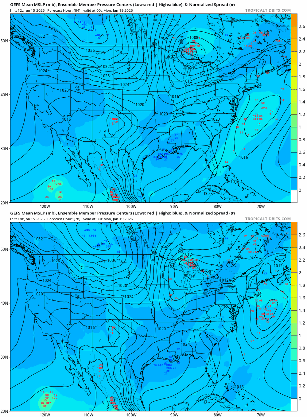
18z gfs very close to a 12z euro solution for the storm next week/weekend. Just a little too far north this run. But way south of 12z gfs
-

Storm potential January 18th-19th
WeatherGeek2025 replied to WeatherGeek2025's topic in New York City Metro
i said this earlier... u never know anybody could check 3 days before nemo how did the models react? this reminds me of Nemo but the opposite. euro was on the western front that time showing 36 inches for NYC, ended up with like 8 inches. also gfs ended up showing the most eastern solutions than lost it for a day than brought it back! Euro never wavered until the storm was about to hit! this reminds me of that but the opposite meaning GfS should start showing western hits again by tonight the latest otherwise my theory is wrong. Also euro isn't as good since that last upgrade a few years back and -

January 2026 regional war/obs/disco thread
cleetussnow replied to Baroclinic Zone's topic in New England
Whites of their eyes. Not until I see the whites. Weeklies smeeklies. Show me the money. -

January 2026 regional war/obs/disco thread
Sey-Mour Snow replied to Baroclinic Zone's topic in New England
Pattern is loaded next week and we don’t have to worry about the issues from this week -

First Legit Storm Potential of the Season Upon Us
WeatherGeek2025 replied to 40/70 Benchmark's topic in New England
i said this earlier.. anyone remember nemo tracking.. how did the models react 3 days prior to getting hit? this reminds me of Nemo but the opposite. euro was on the western front that time showing 36 inches for NYC, ended up with like 8 inches. also gfs ended up showing the most eastern solutions than lost it for a day than brought it back! Euro never wavered until the storm was about to hit! this reminds me of that but the opposite meaning GfS should start showing western hits again by tonight the latest otherwise my theory is wrong. Also euro isn't as good since that last upgrade a few years back -
Temp never got above 11 during daylight (midnight it was 25) and snow fell throughout the day. Total was nearly 6". Nice event and currently just 8 outside with wind continuing.
-

January 2026 Medium/Long Range Discussion
Scarlet Pimpernel replied to snowfan's topic in Mid Atlantic
I've had more interest in that time period (and/or just after that) than anything for this weekend. As I said earlier in this thread, different deterministic models (GFS, Euro, CMC, whatever) have on and off shown some kind of really good event in that time. Sometimes even extreme. And the ensembles have as well. Sure, it would disappear and reappear in the deterministic models from run to run (and Ji would complain if an ensemble mean snow map lost us an inch!!), but it's shown up somewhat regularly in that time frame. -

First Legit Storm Potential of the Season Upon Us
HoarfrostHubb replied to 40/70 Benchmark's topic in New England
Yeah. I’m definitely it buying anything for my area, unless something drastic changes. further east could still get something. -
A chilly 19.8/6.7 at 5:30 pm. WNW 13 gusting to 28 mph winds driving WC down to 7 and 2.


