All Activity
- Past hour
-
Warm in the valley, sweating putting up the tarp and deploying the boat today
-
Cool looking outflow on radar as well!
-
Yeah. That cell definitely has a little bit of a supercell appearance on radar.
-
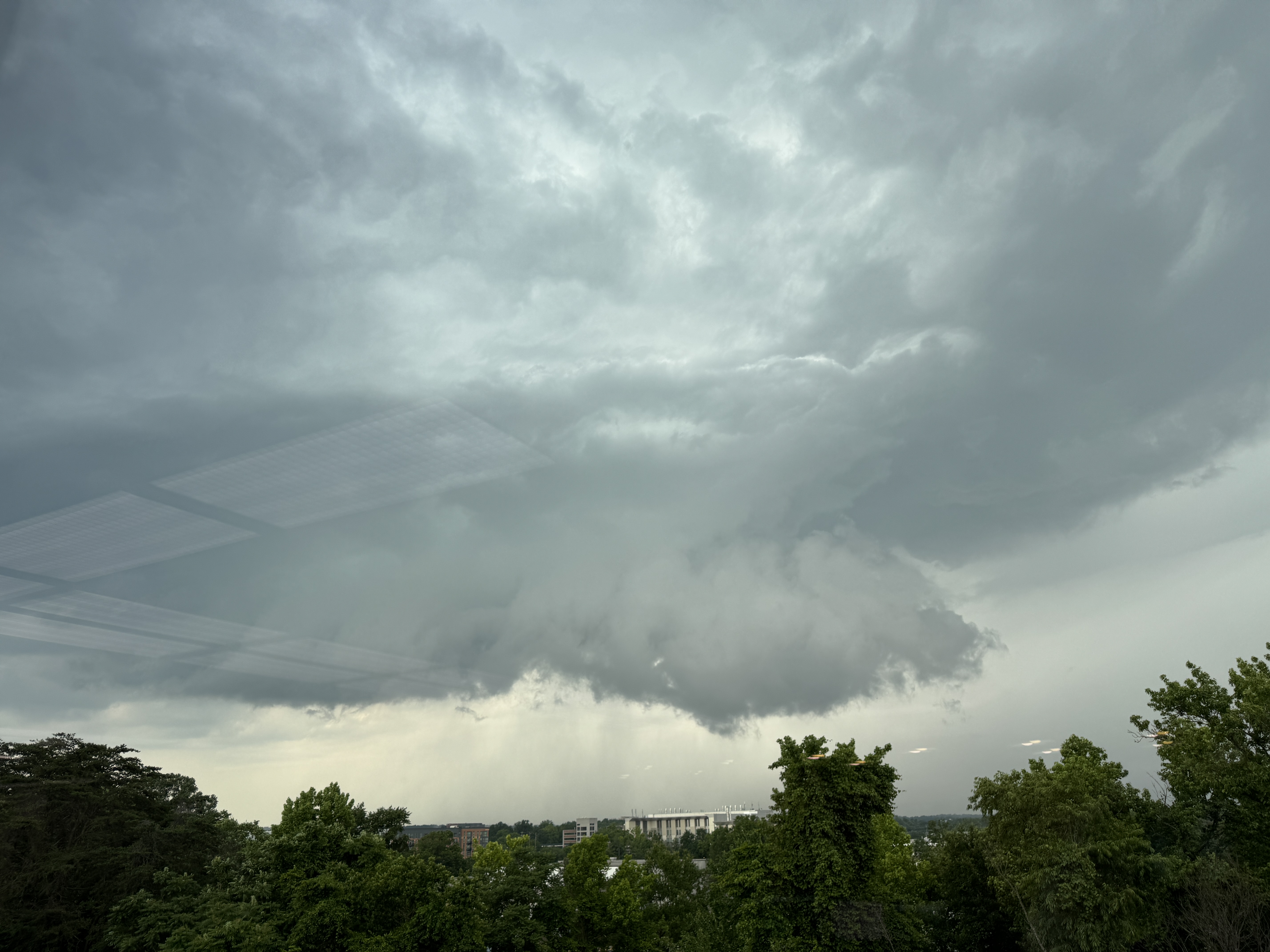
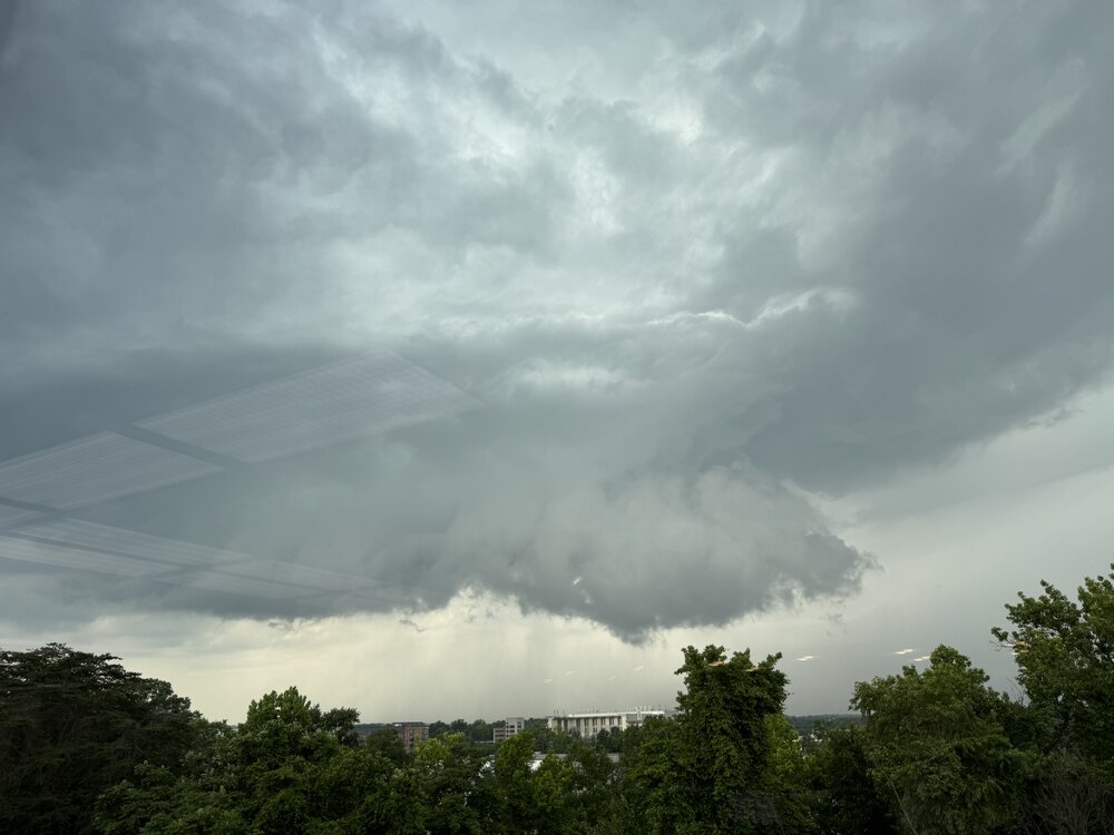
FWIW, this is what it looked like just to the N of College Park at 5pm today. It tried for a brief time. Define supercell with a long inflow band to the E. I had to take this pix through a window.
- 1,010 replies
-
- 2
-

-

-
- severe
- thunderstorms
- (and 2 more)
-
Thank you.
-
Yeah feels like an early spring day out, minus the high sun angle and full leaf out. Wtf is this bs?
-
https://www.mapquest.com/us/delaware/pusey-crossroads-de-283508779#google_vignette SE of Seaford, DE.
-
High of 62 tomorrow?
-
Um..... Where exactly is that?.
-
Rogue storm in N-W NJ
- Today
-
Max of 64F today, sun, breeze. 63/39 currently.
-
There has been a chill in the air. May anomalies at 850mb show an abnormal E-NE wind here, continuing through the Midwest. It hasn't been raining a whole lot here as of recently. No 90's and stuff
-
Yea although I have not had much rain, it is only because it just did not rain hard. Plenty of gloomy days.
-
Trenton number seems off too.
-
We don't need any more rain. It's nice to see the sun out again :-)
-
Yea so much more of the rain has been north and west this month
-
Sunday might not top 70 over much of the area.
-
Man I read that wrong
-
Yes!! Hope they all emerge at once and destroy everything.
-
Keep pumping

-
Seems like a boundary cutting through DC and MoCo on radar
-
I see your total and raise it by 1.01" IMBY
-

2025-2026 ENSO
Stormchaserchuck1 replied to 40/70 Benchmark's topic in Weather Forecasting and Discussion
Current CPC outlook for Jan-Feb-March doesn't have any major warmth like the Summer and Fall forecasts have except for Maine.. maybe they are going for -NAO.. and -PNA, -EPO probably I would take a +0.2F Winter lol -
At Pusey Crossroads 1.13 "
-
I have only .70 inch of rain for the month of June, so far.