All Activity
- Past hour
-
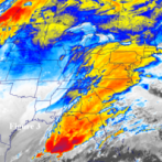
 Time sensitive, but it's interesting to see the last plume image before GOES went down yesterday to the first one today. Much further south and doesn't seem as thick?
 -
So far only low 80s here, without smoke we’d be in the 90s. Agree that today it’s more aloft but still quite hazy.
-
 Just went for a three mile run. Honestly wasn’t too bad. Didn’t feel any different than a normal run. Though it also doesn’t feel quite as smoky as yesterday was at this moment? Also it looks like GOES-19 is back online.
 -
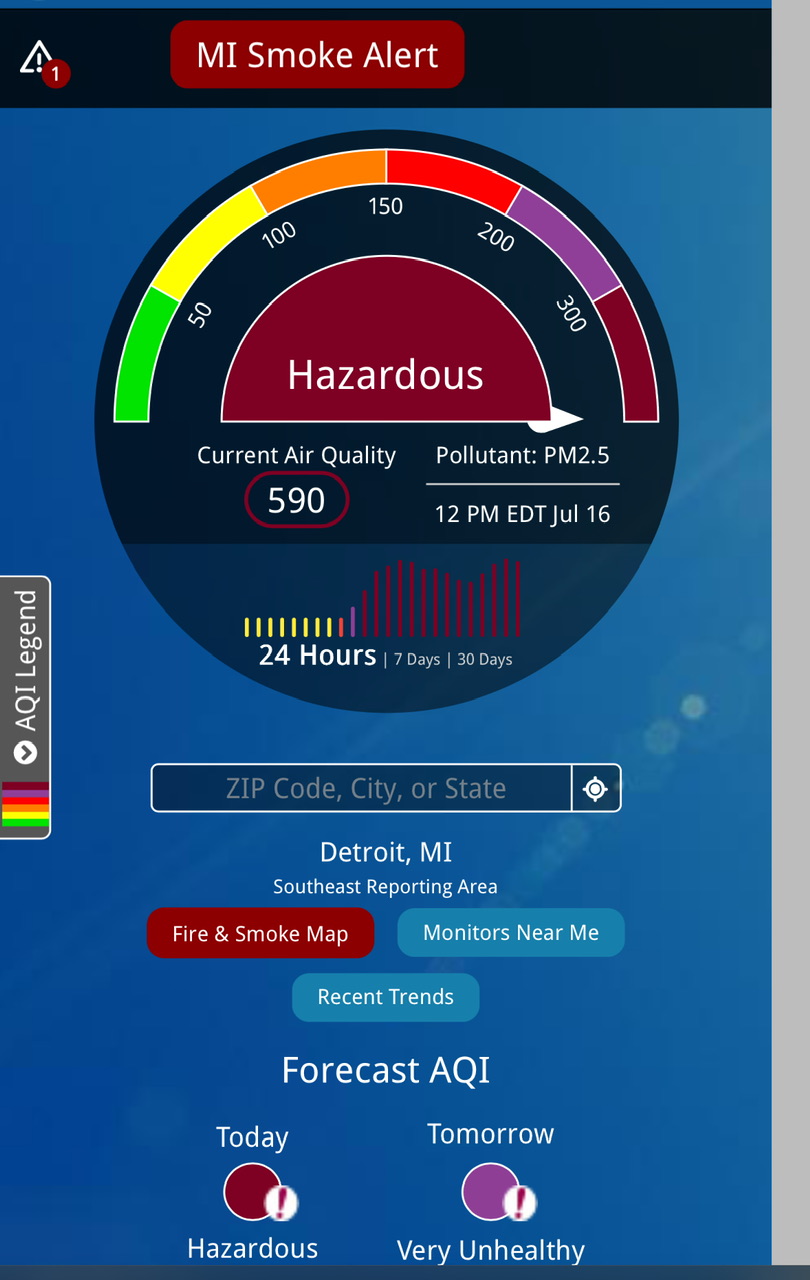
AQi is in the 400-500 range. This is the worst smoke I've seen around here. Strong smell as well.
-
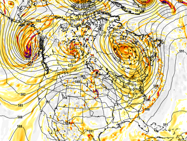
 but is that a snap shot from a general pattern or is that a pattern post front? If the formal, then yeah I would tend to agree.
 -
I think we're back in action with goes 19
-
 you're dreamin' That's an autumn shut-it-downer pattern big time
 -
that looks probably isn't terrible for severe wx potential...would probably mean strong fronts moving through with good shear...probably not good for EML potential
-
If the pattern keeps doing this ... ? fire up the May/2027 thread
-
No EMLs but outside of Saturday night, Tuesday looks decent too for storms. Good shortwave and shear...just have to see how timing works out and what instability is like
-
Yeah, at least the 100°+ heat has really been front-loaded during the 2020s. Monthly Highest Max Temperature for HARRISON, NJ May-September Click column heading to sort ascending, click again to sort descending. Mean 92 98 101 97 91 101 2020 87 96 98 97 91 98 2021 93 101 100 99 90 101 2022 96 98 102 101 92 102 2023 89 93 97 92 96 97 2024 88 100 101 100 86 101 2025 88 103 102 95 90 103 2026 100 97 106 M M 106 Monthly Number of Days Max Temperature >= 100 for HARRISON, NJ May-September Click column heading to sort ascending, click again to sort descending. Mean 0 1 2 0 0 3 2020 0 0 0 0 0 0 2021 0 1 1 0 0 2 2022 0 0 3 1 0 4 2023 0 0 0 0 0 0 2024 0 1 1 1 0 3 2025 0 3 3 0 0 6 2026 1 0 3 M M 4
-
-
Yeah we had that last evening in Raleigh. You can tell in some of the sunset images in this reel of shots I put together from the Dix Park sunflowers: https://www.facebook.com/reel/27933012633049621
-
Looks like mby got a storm on the 9th. PWS shows .50". Not much else while I was away. Everything just as brown as when I left for vacation.
-
thick af
-
those fires have been happening a long time. i moved to Winnipeg in 1976, and along I-29 north of Grand Forks ND looked like the apocolypse. They are peat fires, they spontaneously combust, and can smolder underground through the winter. They happen in the US and Canada. They often happen in unpopulated areas.. nothing human built there, so there is no effort to put them out..They have been happening for thousands of years..
-
If I had to guess, your nose is probably picking up a bit of peat+muskeg burning mixed in there. People have no idea how much worse it can get once the main shield peatlands and mixed peat/forest stands start burning. Gonna guess winter is going to be extremely warm up there this year and tilt the dice towards early warming/drying of those areas into next summer.
-
The worst of it isn't supposed to be until later this afternoon and early evening.
-
stuck using goes west sucks, still looks like worst is just east but yeah, it's clearly awful out
-
this is the worst it has been for our area. gonna be some record aqi’s.
- Today
-
 seems fine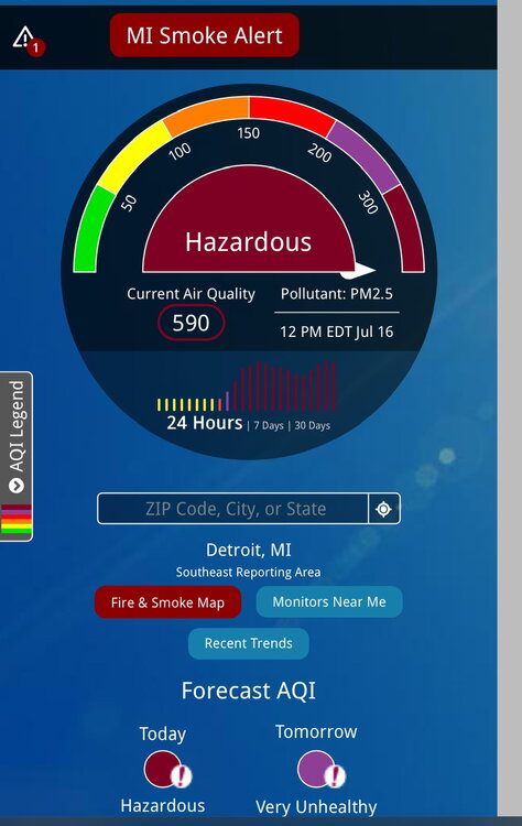
-

2026-2027 Super El Nino
bluewave replied to Stormchaserchuck1's topic in Weather Forecasting and Discussion
1997 -1998 would be a case of the warmest departures for NYC occurring in January and February. The actual February average temperature was the warmest monthly temperature of the winter. Dec…38.2°….+2.0 Jan…40.0°…..+8.6° Feb…..40.6°….+7.0° 2023-2024 had the warmest departure in December and the 2nd warmest in February. Dec…44.6°…..+5.5° Jan….37.0°……+3.3° Feb….40.1°……+4.2° 2015-2016 was the most extreme front-loaded super El Niño for warmth with +13.3 in December. Dec….50.8°…..+13.3° Jan…..34.5°….+1.9° Feb…..37.7°……+2.4° -
There’s a 1500 near the Canadian border in the Minnesota arrowhead region. I looked at the trace and they topped 2000 yesterday.
-
 I just don’t want the smoke to kill any storms on Saturday
 -
 Goddamnit Sent from my SM-S176V using Tapatalk