

NEOH
-
Posts
3,279 -
Joined
-
Last visited
About NEOH

Recent Profile Visitors
3,947 profile views


-
I finished June with 10.81" of rain. Still too wet to cut portions of the yard. Looks like CLE only had half of that amount. Most of the storms just missed CLE to the South and East.
-
Lots of tree damage locally from the storms last night. Must have been a downburst. Power is out in many places in Chagrin, South Russell and Bainbridge. Closing in on 9" of rain for the month... current total is 8.67".
-
Already up to 5.5" of rain for the month. Quite a few power outages around after the line came through last night. Surprised CLE only reported .35" of rain yesterday... must have been missed by almost every storm.
-
Finally starting to feel like Summer today. May was just an awful month around here... cool temps with nearly 6" of rain. CLE finished May -3.3 with 5.30" of rain.
-
Brutal to wake up to snow on the ground this morning. Looks like we are stuck in this pattern for awhile.
-
Picked up 1.2” last night. Hopefully that’s the last of it for the season. Looks scenic out there but I’m ready for Spring.
-
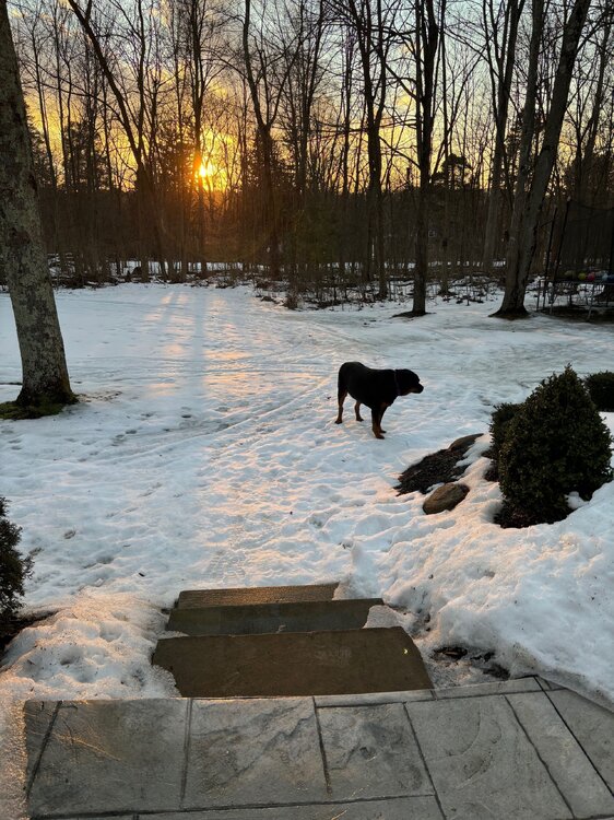
Really enjoying the longer sunsets. The remaining snowpack should be mostly gone by Friday. Nearly 2 full months of snow cover imby.
-
This year might be the longest we've had snow cover since I moved out to Geauga county. Despite snowfall being around average, we managed to avoid the big warm-ups and/or heavy rains.
-
The snowpack has taken a beating the past few days. Still solid cover IMBY but some patches of grass showing up in exposed areas. At this point I'm looking forward to warmer weather. It was a great Winter for snow on the ground.
-
Picked up an inch last night/this morning. 2-4" in the forecast today.
-
Great day yesterday. Picked somewhere around 7 - 8"... hard to tell with the strong winds blowing everything around. The storm was much better than expected.
-
Rain just flipped to ice and snow here. The temp didn’t get above 36 last night… still some snow remaining from part 1. Radar looks good to the west.
-
Recent model runs keep the low a little further southeast of here. Your area might flip to snow fairly quickly tomorrow morning. A low near PIT is usually a good track for northern Ohio.
-
A little over 2” here. Temp is up to 34 now. Hopefully there is good thump tomorrow. 12z models have decent snow across northern Ohio.
-
It has been snowing nicely since 7am... huge cotton ball flakes. Enjoying it before the changeover later this morning.


