All Activity
- Past hour
-
Right now I think it is very plausible we see something out of this but I will caution that the warm nose almost always overpeforms and makes it farther inland than modeled. The pattern looks like it will be there but as always we live and die by the warm nose.
-
I strongly suspect this is an EC storm. Unfortunately for all of us...may be just too far to the east. We keep getting a dang low in the Lakes. Haha.
-

E PA/NJ/DE Winter 2025-26 Obs/Discussion
Duca892 replied to LVblizzard's topic in Philadelphia Region
Can and should we maybe expect this to continue? I am not trying to cling to too much hope especially for the Lehigh Valley... but hard not to at least keep peeking now -
12Z GFS = Boom!
-
I've noticed over the years that 500mb jet streaks / vorticity "ribbons" coming in over the western ridge that go over Yellowstone tend to give us good Miller A events. Not anything scientific, just an sign that I look for.
-

Coastal Snow Crusha January 18th-19th
Krs4Lfe replied to WeatherGeek2025's topic in New York City Metro
I'm still waiting for the one on 1/7 and the pattern change to colder weather on 1/11 -
A large part of what is allowing the shortwave energy to dig more and earlier is the ridge out west is more amplified/steeper than earlier runs. Also better interaction among the different pieces of vorticity. Not sure how much further west it can go unless there are more corrections to come in the upper levels- like the ridge axis being further west. Personally, I am fine with how it is currently modeled.. maybe a tad further west.
-

Coastal Snow Crusha January 18th-19th
WeatherGeek2025 replied to WeatherGeek2025's topic in New York City Metro
CMc shows a small wave hitting the area on Saturday afternoon potentially accumulating 1-2 inches! -

E PA/NJ/DE Winter 2025-26 Obs/Discussion
LVblizzard replied to LVblizzard's topic in Philadelphia Region
Add the 12z Canadian to the list. Wraps up the storm just too late for the Philly area but north of I-80 gets the goods. Huge shift from a nothingburger at 0z. -
We tried to tell em about the 18th. Here we are. Very interesting indeed. we watch closely
-

January 2026 regional war/obs/disco thread
CoastalWx replied to Baroclinic Zone's topic in New England
Canadian has an inv low pressure dong overhead. -
Agreed. Unlike the HECS it had for tomorrow, it has some support this time. Still a long ways to go, though. Patience!
-
If this were to verify with hardly any -PNA upcoming, that would increase the chance vs earlier runs that Jan will end up net +PNA just like all -ENSO Decs since 1983-4 have transitioned to in Jan.
-
The 12z GEM is OTS w/ barely a skiff in NC. We need to dig through that GFS run, and see if it is doing something weird. That said, the 6z Euro has the GFS solution, but it is east of the 12z GFS track.
-
What are your thoughts on how this shake’s out? Always appreciate your insights
-

January 2026 regional war/obs/disco thread
Damage In Tolland replied to Baroclinic Zone's topic in New England
Seems a nice pasting albeit only 1-3” I’ll take it . Hopefully MLK works out -

Central PA Winter 25/26 Discussion and Obs
pasnownut replied to MAG5035's topic in Upstate New York/Pennsylvania
Yep, trough axis gave it a chance to come up and not out. a little more dig on HH and beyond, and we might get into a notable event. Even as depicted on nooner, I think LSV and easters would approve -

January 2026 regional war/obs/disco thread
SouthCoastMA replied to Baroclinic Zone's topic in New England
I like it but not buying it yet. fool me once -
Any further west and we would be in danger of sleet for a time on the GFS run.
-
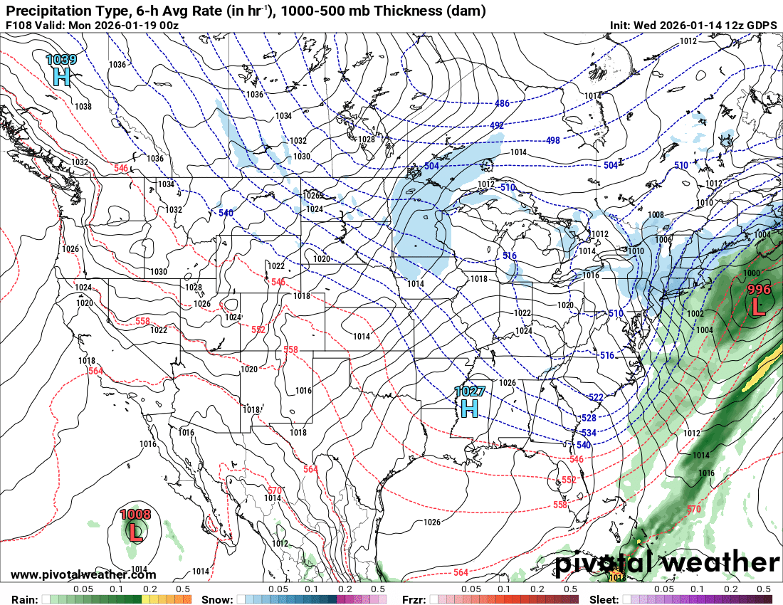
GFSed again.. definitely the most amped out of all heavy rain to heavy snow here
-
-

Coastal Snow Crusha January 18th-19th
EastonSN+ replied to WeatherGeek2025's topic in New York City Metro
Light snow now on the CMC. Shifted west.
-
Yes. Jog west, calibrate east, jog slightly west again. That is normally what I observe. I don't know how much room this has to come west since it is so late. There is not a lot of room. I think really our best chance is that modeling is under estimating the storm, and it gets deeper w/ each run. If it is a legit Nor'Easter, it may not have it deep enough yet. For now, looks like a Carolina special...but that could change.
-
January 2026 regional war/obs/disco thread
CoastalWx replied to Baroclinic Zone's topic in New England
Canadian definitely not like gfs but better than 00z -
Canadian definitely took a step toward something. Gets NYC to New England after dusting us.