All Activity
- Past hour
-
Signs of Napril on the models. At least to start.
-
-
Please let it be a warmup that we don’t have to “pay for” later…
-

Central PA Spring 2026 Discussion/Obs Thread
mahantango#1 replied to Voyager's topic in Upstate New York/Pennsylvania
-
The Anafront was a fantasy. The cold also since the Euro is way warmer than the gfs going forward.
- Today
-
I loved the way he'd pop in and get excited about weather a continent away. A generous spirit, and those are always missed. RIP.
-
Lol... Icon
-
several cold air intrusions are not a fantasy so when cold enough air is present always a chance of some precip/storms popping up -- models will not see it until just prior sometimes this time of year - remember 4/7/03 and 4/6/82 ? And how about this seasons analog winter of 95-96 on April 9-10, 1996 ? Snow and ice storm, April 7, 2003 - Storm Summary Snow storm, April 9-10, 1996 - Storm Summary
-
They always predict warmth in the east .
-
I think it was a D.
-
Starting with Friday. Models have a quick mover that looks pretty juicy.
-

2025-2026 ENSO
Stormchaserchuck1 replied to 40/70 Benchmark's topic in Weather Forecasting and Discussion
I would give the CPC a "C" grade -
It’s incredibly cool to watch
-
0z lost it Fantasy
-
Im not sure. There are photos just like that.

-

2025-2026 ENSO
michsnowfreak replied to 40/70 Benchmark's topic in Weather Forecasting and Discussion
+4-5 is a reasonable guess. It will be the first warmer than avg month since October. Again, I was strictly talking about March 21 and beyond. Some insisted the western inferno would envelope the entire conus post march 21, and that will clearly not be the case. Rather, it looks like a mix of some warmer than avg days and some colder than avg days. -
Clearly fake bro come on
-
Should be an above average temp 1st week of April
-
Icon way north Congrats maine
-
38 for the high today, 23 now. Probably coldest until December
-
 achillesroofingtx changed their profile photo
 -
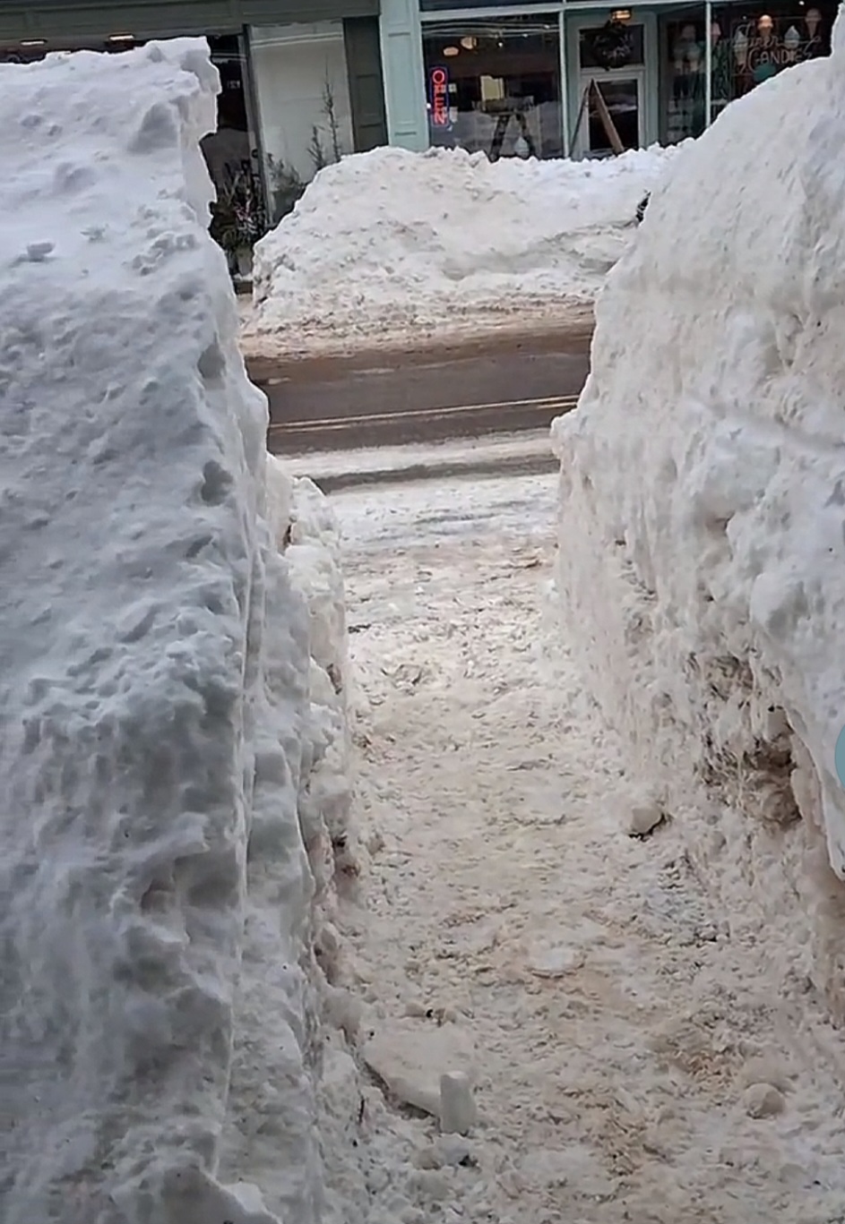
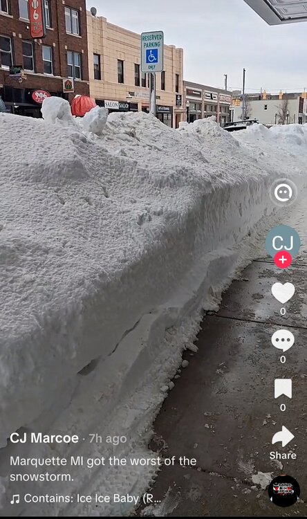
18.82 down here in Waynesboro... With the cold temps and the glacier storm lasting so long - solid winter...So close though to something much more special - good winter nonetheless...
-
yeah even DCA struggled to break 40F (high of 41F)
-
There will be case studies on this. It’s been pretty much right over the radar site for its life cycle.
-
Yeah, polar lows are interesting
-
Pretty wild IMG_5609-ezgif.com-gif-to-mp4-converter.mp4