All Activity
- Past hour
-
Oh absolutely. SEMA in particular. I mean, technically I'm in SEMA but I'm right on the RI border so in general I have RI's climo more than SEMA which has more ocean influence and therefore more severe coastals than most of RI.
-
I'm at 11" here. Only 3 of the last 20 winters I've been in WV have had less snow than that in an entire season. I'm with you on the heating bills, but I still love the cold.
-

"Don’t do it" 2026 Blizzard obs, updates and pictures.
Greg replied to Ginx snewx's topic in New England
A good 40 to nearly 50 miles south of it appears to be what the observational consensus appears to be right now. -
OH yeah..ha right. 6 times then. Forgot about 2015.. although I thought that 2 foot but meh close enough Definitely an uptick in the frequency of big dawgs compared those previous decades though. man
-
Same here. We’ve been stuck between 48-50 all day Picked up an additional 0.07” since yesterday with light drizzle continuing
-
warm ground and daytime=white rain
-
Roger that, but a robust snowpack will greatly help up my way, as the snow melts into the ground slower with less runoff, unless hvy rns hit. A better help for the abnormally dry conditions here, and wells don't go dry, or at least not too low. You end up with more sediments then.
-
mid month April here usually unless it's a big torch like March 2012
-
GFS drops a solid inch Sunday!
-
Nina though. Ninos are usually warmish.
-

Late February/Early March 2026 Mid-Long Range
Stormchaserchuck1 replied to WxUSAF's topic in Mid Atlantic
I wouldn't worry about it.. Florida got 10" of snow last Winter. It snowed there again this Winter. -
Beware that there are hints in the guidance, mainly in the ECMWF and its AI version, of some back door cold front action during that period.

-
I would hope that's the case, or we are fucked.
-
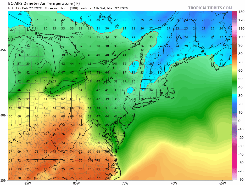
Euro AIFS/op are snowy late next week.
-
Late February/Early March 2026 Mid-Long Range
Stormchaserchuck1 replied to WxUSAF's topic in Mid Atlantic
Pretty close to before. 09-10 was the most -NAO Winter on record, since the 1800s. We are in a little deeper -PDO now. -
More Ninas! Rarely cold enough to snow here in Ninos anymore, although I would roll the dice with another 2009-10 type deal. Hopefully see we the combo of a severe -AO/NAO with a Modoki Nino again. Would be interesting to see what the results would be now.
-

Outta gas and Outta Time: Early March Winter Storm finale
Chris78 replied to Ji's topic in Mid Atlantic
Rgem has snow moving into the area overnight Monday into Tuesday as the run ends -
Forecast for Thursday to Saturday looks brutal for Jay Peak. Wow figures my son flys in from Florida at the absolute worst time all winter to ski.
-
Front making its way thru with temps on a steady decline this aftrn with winds 20-30 G 40+. Looks like temps maxed around the low 50's along the shore with mid-upper 40's inland midday.
-
Anything is possible but that is highly unlikely. March/April snows pop up with short notice regardless how cold/mild the pattern is. Detroit is at 38.8" to date. The current annual avg is considered 42.7", but likely involves a bit of quality control as the raw number is closer to 44". The 2000s-2010s were abnormally snowy as we all remember. The period of record avg is 40.9".
-

E PA/NJ/DE Winter 2025-26 Obs/Discussion
LVblizzard replied to LVblizzard's topic in Philadelphia Region
I swear this stuff always happens at the exact moment we all get sick of the snow and cold. -
Its a cool index. Ranks every winter since 1950.
-
I didn't know about this... did any of you? https://www.spc.noaa.gov/exper/conditional-intensity-information/
-
@weatherwiz https://www.spc.noaa.gov/exper/conditional-intensity-information/
-
Late February/Early March 2026 Mid-Long Range
Stormchaserchuck1 replied to WxUSAF's topic in Mid Atlantic
El Nino's really favor this area vs NYC-North. Since 1998, >50% of Winter's have been La Nina (RONI) (average should be 33.3%)