All Activity
- Past hour
-
It's happening. Nice.
-
Richmond Metro/Hampton Roads Area Discussion
snowchill replied to RIC Airport's topic in Mid Atlantic

-
A few random flurries here. Pictures look nice from those getting snow.
-
Got a good snowbank over College Park. Best thing in the world is to have your kids wake up and go berserk over the snow. My daughter gave me a hug. lol
-
Actually, RIC_Airport, who I think moved to Chicago and kept our little subforum going for a while, spearheaded them moving it. It's far more accurate now. The debacle of 1996 I think was the catalyst, but other events were so far off.
-

December 2025 regional war/obs/disco thread
Sey-Mour Snow replied to Torch Tiger's topic in New England
We've got 99 weenies and the HRRR is one .. Can't ignore the signal for CT, will 1-2" happen in a band that wide, probably not, but I can see a widespread slick coating up to an inch in spots.. -

December 2025 regional war/obs/disco thread
40/70 Benchmark replied to Torch Tiger's topic in New England
Yes, and I have also grown more open to the idea some of the increased tendency towards a cool ENSO paradigm and associated MC forcing may be related to CC, but what I do know is that our current snow deficit is not 100% attributable to GW/CC. -
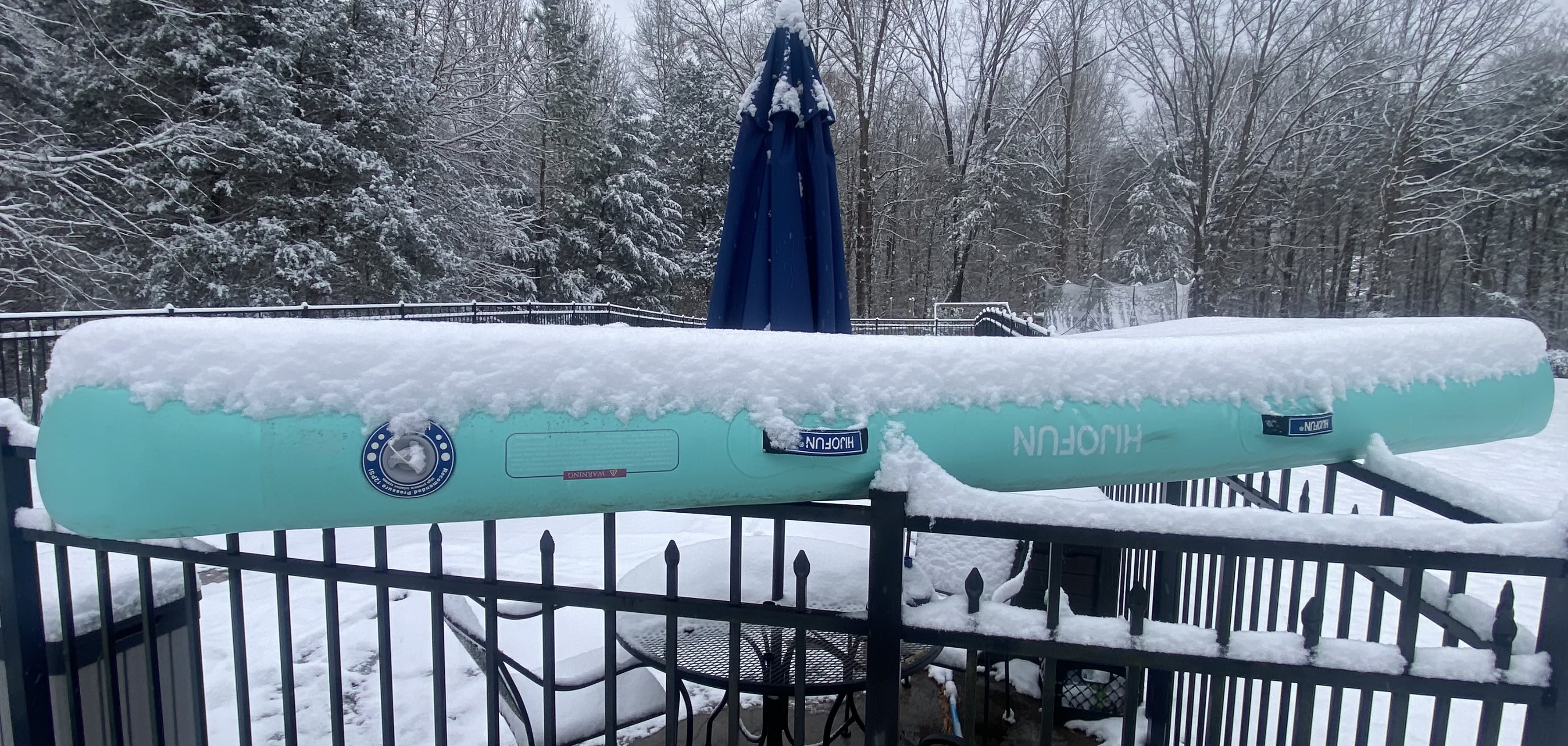
Big snowflakes now
-
Updated morning AFD mentioned more upstream Area Forecast Discussion National Weather Service Baltimore MD/Washington DC 900 AM EST Fri Dec 5 2025 .SYNOPSIS... Light wintry precipitation chances return through midday today as low pressure passes to the south. High pressure briefly returns this weekend before a strong cold front tracks across the region Sunday evening. Canadian high pressure builds in early next week before another clipper-like system nears the area by the middle of next week. && .NEAR TERM /THROUGH TONIGHT/... Steady light snow continues as of mid morning along and south of a line from roughly Franklin WV to Baltimore MD. Brief moderate snow was being observed upstream over eastern KY into southern WV. This area will pivot east-northeast with not much northward progress to where snow is being observed currently. As forcing wanes, snow will taper to flurries and end between 10AM-2PM
-
I may have added a new emoji
-
I don’t feel 1989-90 is an -ENSO analog to 2025-6. That’s because: -Dec was slightly +ENSO per RONI (+0.09) and only a hair -ENSO per ONI (-0.01). -Jan was already a solid +ENSO per RONI (+0.39) and slightly +ENSO per ONI (+0.11). -Feb was +0.31 to +0.34.
-
I might get .1” if these flurries persist.
-

Central PA Fall Discussions and Obs
canderson replied to ChescoWx's topic in Upstate New York/Pennsylvania
21 here too. A chilly day. -
December 2025 regional war/obs/disco thread
40/70 Benchmark replied to Torch Tiger's topic in New England
Yea, not denying GW....but there are other factors independent of the warming that are conspiring against us. -
Richmond Metro/Hampton Roads Area Discussion
snowchill replied to RIC Airport's topic in Mid Atlantic
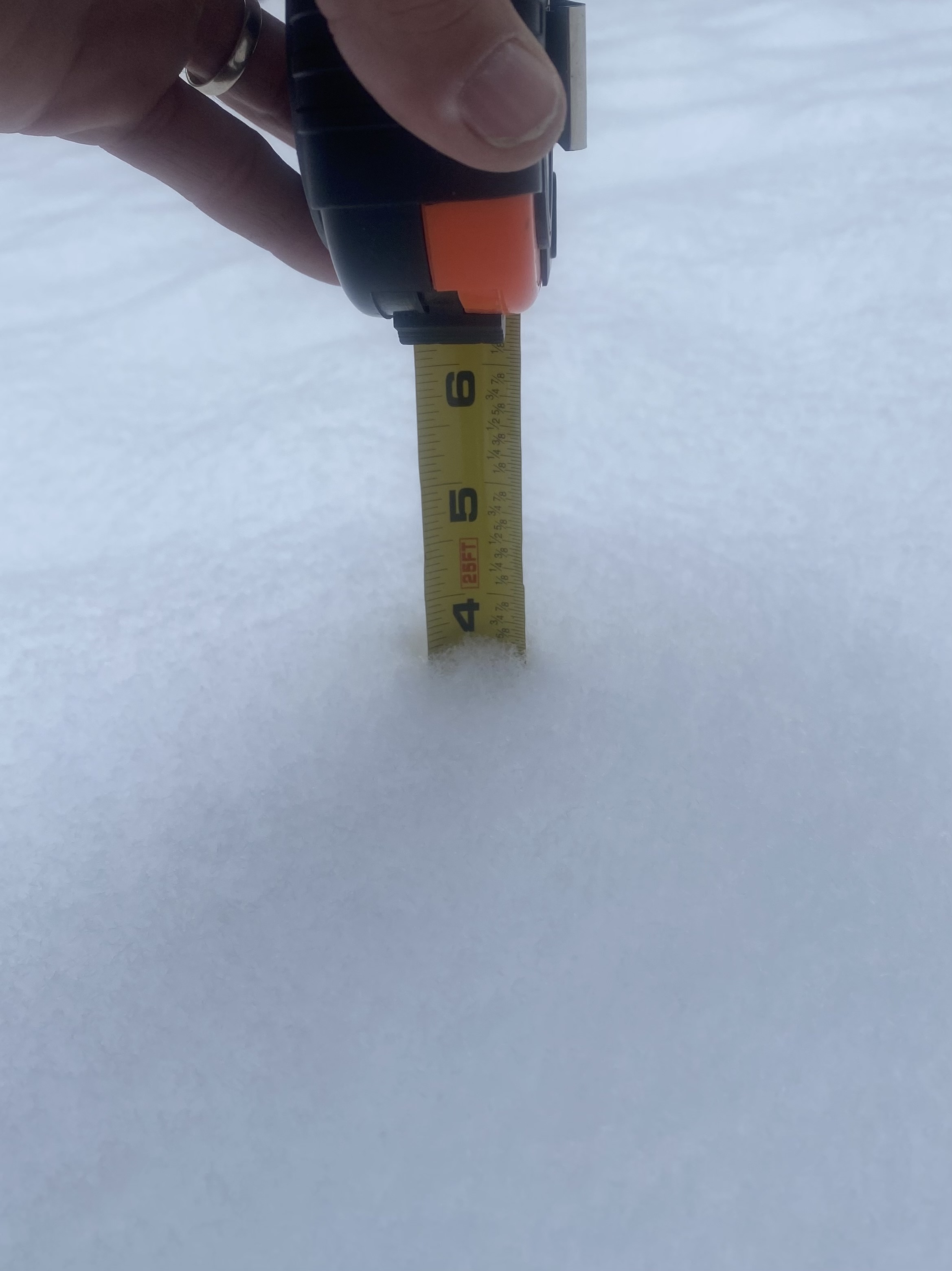
3.5” Powhatan
-
This band is doing work. Might get 2 inches total
-
I have a coating now from that little thumb over Baltimore county.
-
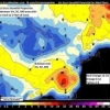
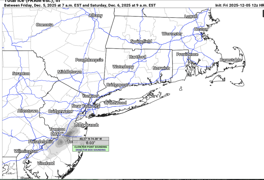
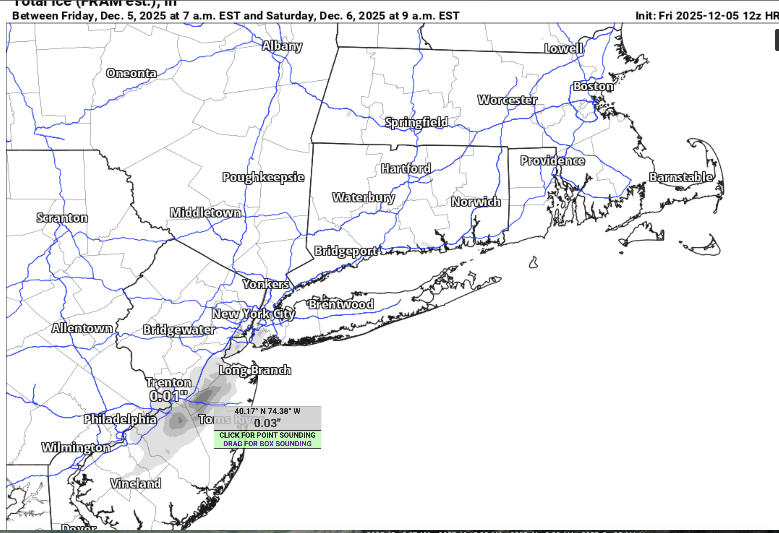
Well, here's your 12z HRRR for tomorrow morning (don't count this mornings snow s of PHL). Will revisit at 5PM for possible first measurable NYC early Sat from the very subtle low level trough.

-
Mount Pocono hit a record low of -4 this morning. Starting the day off at 25. Light snow to the south, might see some flakes work their way up here.
-
Like this. .
-

December 2025 regional war/obs/disco thread
Damage In Tolland replied to Torch Tiger's topic in New England
If we’re hanging out weenies on the HRRR we’ve got problems. -
If we can get a western ridge to build and hold on, we have a chance at some storm turning the corner and getting some snow outside of a lucky clipper or minor system. However they’ve been getting knocked down or nudged aside which makes the pattern too zonal.
-
Best wishes! Good you were able to get into the hospital OK. You'll have quite the memorable story. Hope the birth goes well.
-
December 2025 regional war/obs/disco thread
Damage In Tolland replied to Torch Tiger's topic in New England
Puff puff pass . -
Wow, that’s awesome! I don’t think we have bi-skis like that at Jiminy? Ours all have parallel skis and the skier uses outrigger poles or attached outriggers. We ski behind them with tethers. Are you tethered when you ski? I’d love to see a video if you have one. I want to show this to our director. I also skied with you at Berkshire East way back in the day at a forum ski get together. So glad you are still going out there! .


.thumb.jpeg.f5c6ba9d911ec96b3b124f8606aee58e.jpeg)