All Activity
- Past hour
-
Well the ICON is perking up I see.
-
Probably not going to make a ton of difference, but the ridging out west with the GFS now vs 18z is a bit higher. H5 does show some subtle differences. Let's see how this progresses down the line
-
I got pivotal now ty bro!
-
np Yeah I noticed it a while ago during hurricane season. My only complaint is I think there should be more localized regional parameters, there's one for the entire eastern half of the US but it would be nice if he could split it into specific regions like the Northeast, Southeast, etc.
-
All I can say is paste TN white! Bring those days of snow & cold where it don’t melt for at least a week!
-
After the hype, I was kinda hoping this winter could go BIG with real-deal storms and deep snow pack. AN for snow but its come in mostly bite-sized chunks similar to last winter here. Glancing back at my daily data for 2013-14 (which just happened to be the season I started keeping such) and in that incredible winter I had SEVEN warned storms (Marshall's not in the LES belt just to be clear). Totals for the 7, largest to smallest: 18.0", 10.5", 8.5", 6.3", 6.0" 5.5", 5.5" (plus 3 top-shelf WWA's). In the last 2 winters I've only had two events reach exceed the 5.5" threshold - neither got a warning. Still paying the bill for 13-14 is how it feels at times, lol
-
I'll have to try that thanks!!
-
-
The frames do seem to load faster/more consistently on Pivotalweather...speaking of which the GFS runs quicker on CyclonicWx so I tend to use that
-
That's what she said
-
They beat the rams once already..
-

January 2026 regional war/obs/disco thread
Sey-Mour Snow replied to Baroclinic Zone's topic in New England
Just hit 50. AWT -
Tropical tidbits has lots of missing frames jumps from 144 to 180 lol
-
I'd still rather have that at 144 instead of being in the bullseye. Lots of time to improve
-
50F and .67" of warm-ish rain made for a bunch of parking lot puddles. BUT! Thx to frozen ground and night time temp spike we only lost half the 5-6" glacier leaving us with 2-3" otg heading into tomorrow's odd system. Can I get a headline upgrade? APX says its on the table.
-
Blame the cape storm
-
Dont fret...it is merely setting up for the Cape storm window.
-
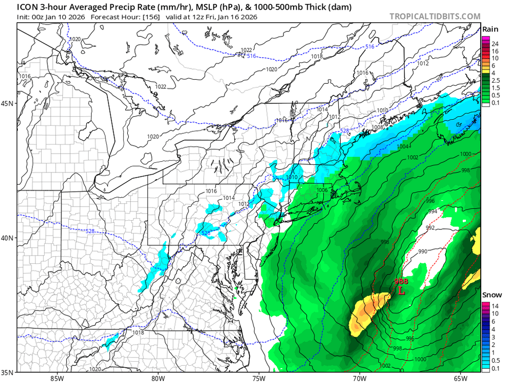
That H5 map on the Icon is just so frustratingly wonderful @144. So close, but so far
-
Yeah, the NAM Nest backed off a bit, while the HRRR was All CAMs this evening show the potential, although they disagree on the amount of organization.
-
GFS has a snow storm down in the Highlands of northern Mexico inside ten days, from a system that looks almost tropical. Saltillo ish area would see heavy snow if it were to verify - pretty neat to see even in fantasy land. NE Asia by Kamchatka has seen a lot of rex-block style setups this first week or so of January, which supports a return to active weather in the Southwest at the end of the month, in the Jan 25 and on range, roughly.
-
Yes, that's him. Thanks!
-
Caps looking great tonight…since they only decide to try every other night, this was the “try” night apparently. lol. And how bout IU! Wow. Not even a hurricane can stop that freight train.
- Today
-

January 2026 regional war/obs/disco thread
powderfreak replied to Baroclinic Zone's topic in New England
Cold air hung on all day here, mostly low to mid 30s. Until this evening. Spiked from 37F to 47F in past hour with SW winds gusting over 30mph. Fully mixed out adiabatically. BTV just had two hours of 20-25 sustained, gusting 35-45. -

Occasional Thoughts on Climate Change
TheClimateChanger replied to donsutherland1's topic in Climate Change
-

January 2026 regional war/obs/disco thread
ORH_wxman replied to Baroclinic Zone's topic in New England
Roaring here too in Holliston (though I’m on a hill southwest facing.)


